|
|

|
|
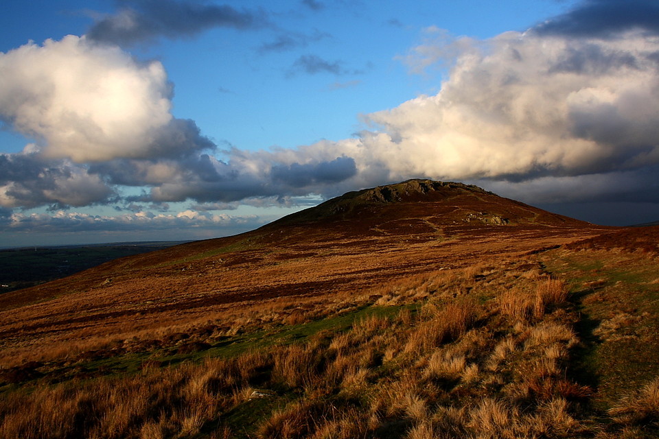
Moel DrygarnCairn(s)
|
||||||||||||||||||||||||
|
|
|
News |
|
Students Help Repair CairnsFrom an article published on the News Wales web site on 24th January 2011: Army Preparation Course students have helped to repair a Scheduled Ancient Monument in the Pembrokeshire Coast National Park... continues... |
 Posted by Kammer
25th January 2011ce Edited 25th January 2011ce |
Images (click to view fullsize) |
|


|
Fieldnotes |
|
|
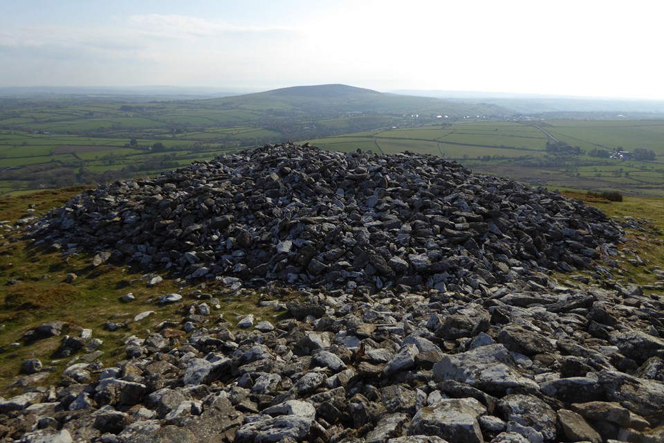
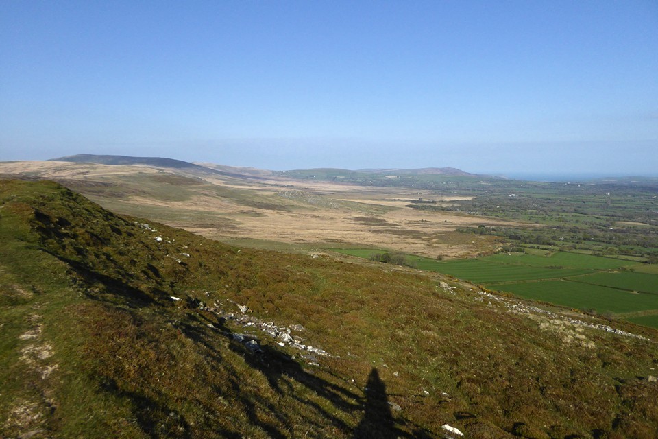
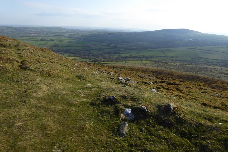
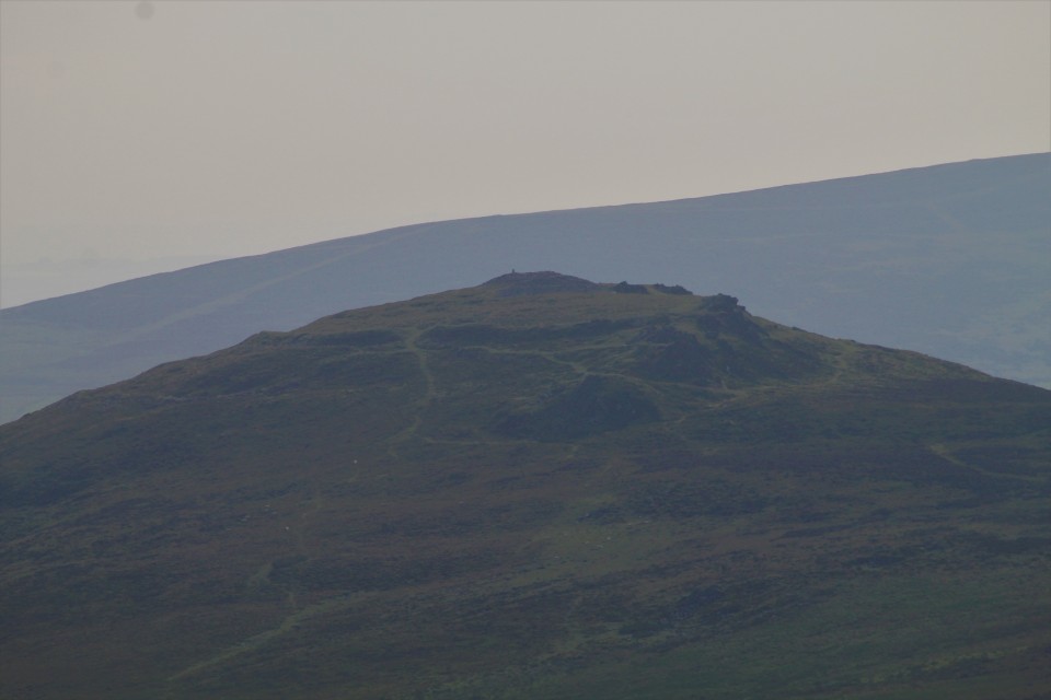
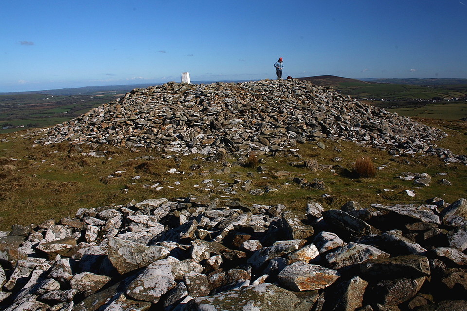
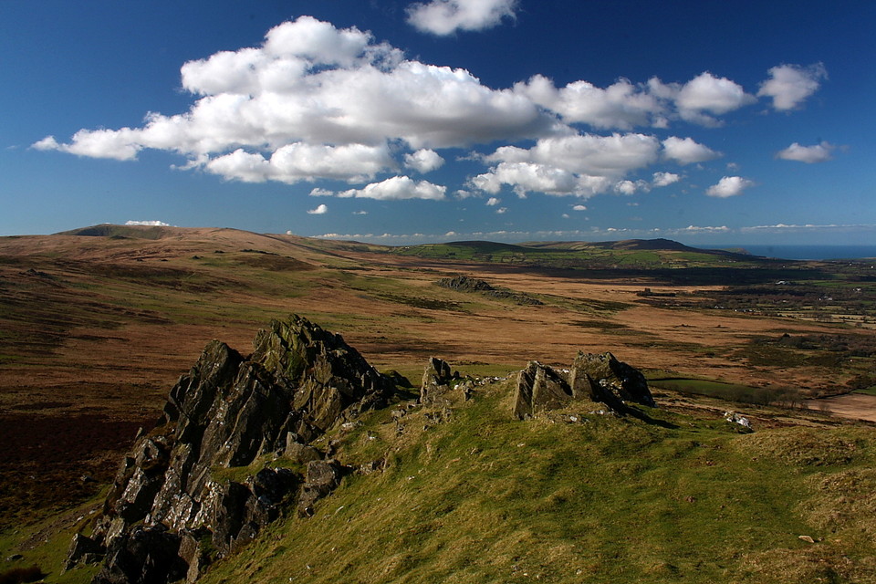
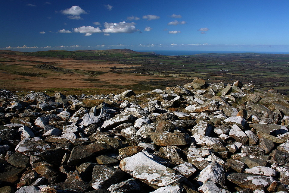
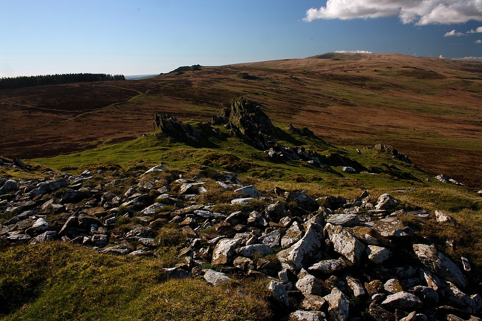
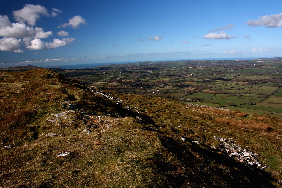
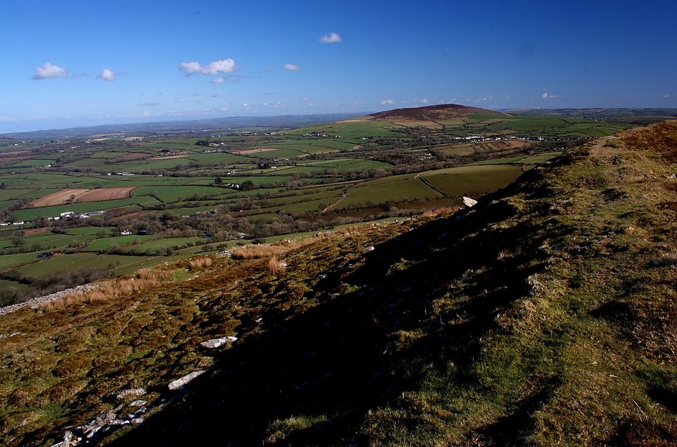
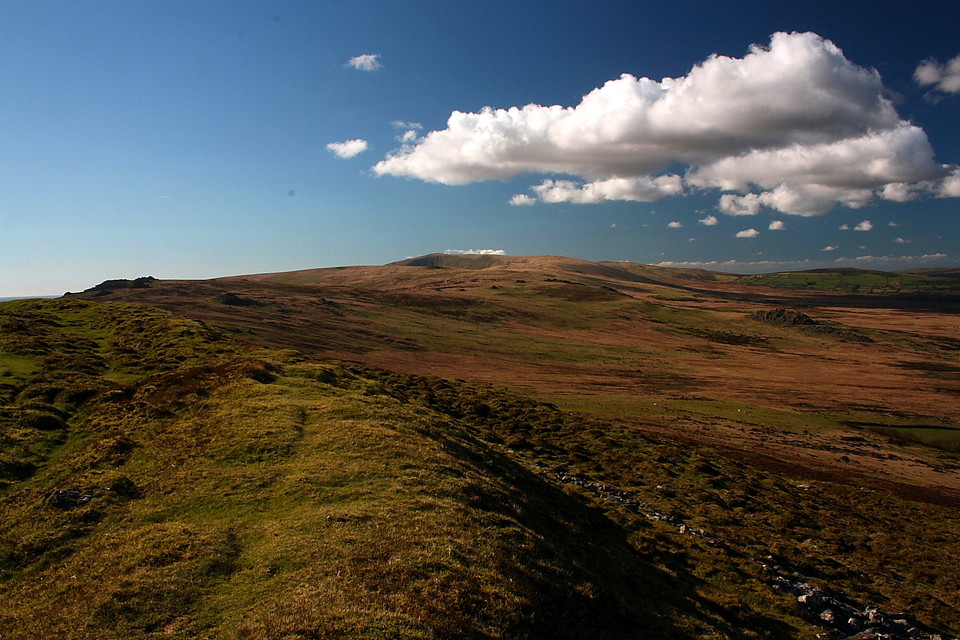
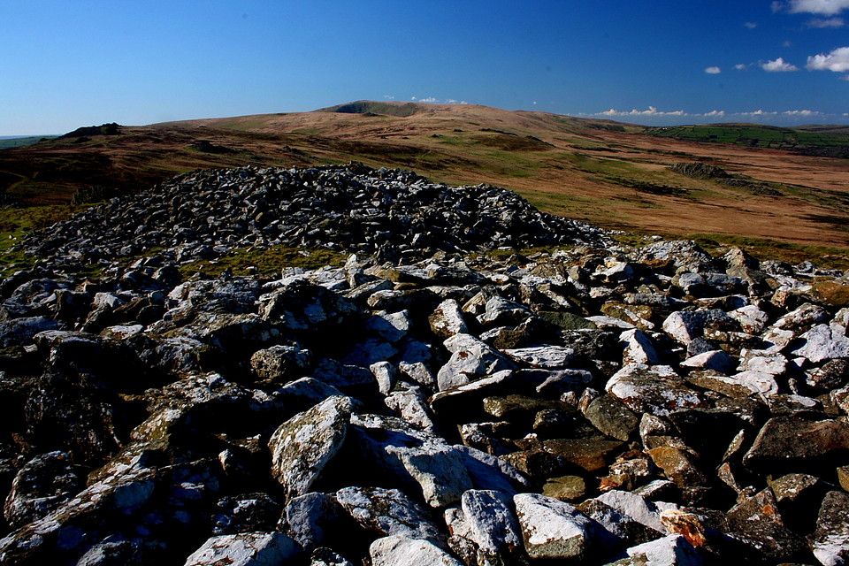
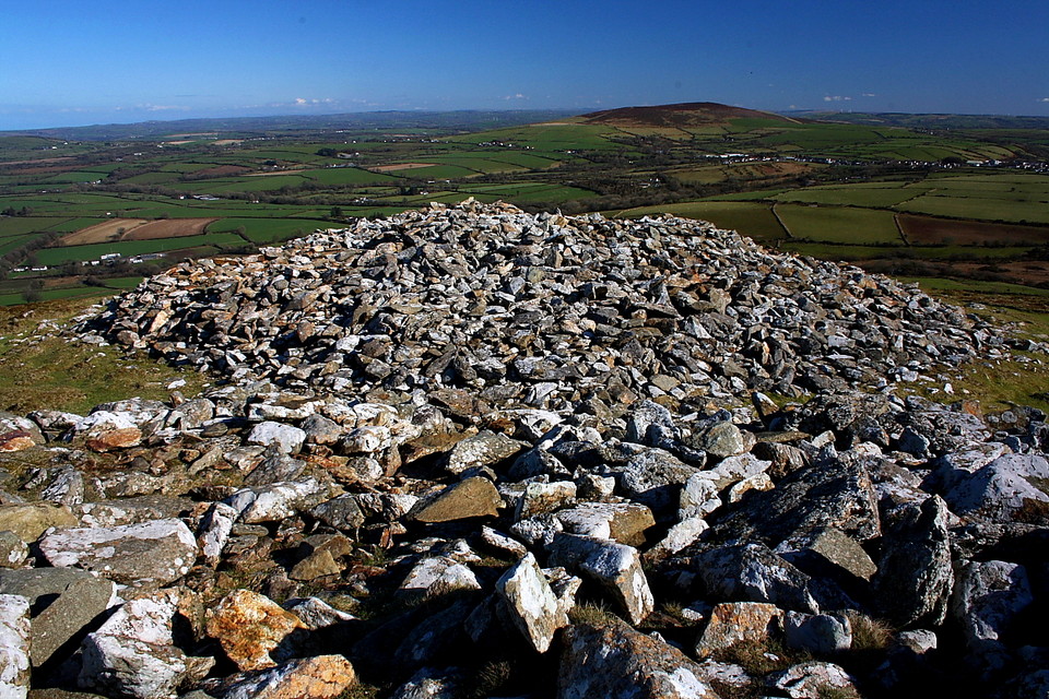
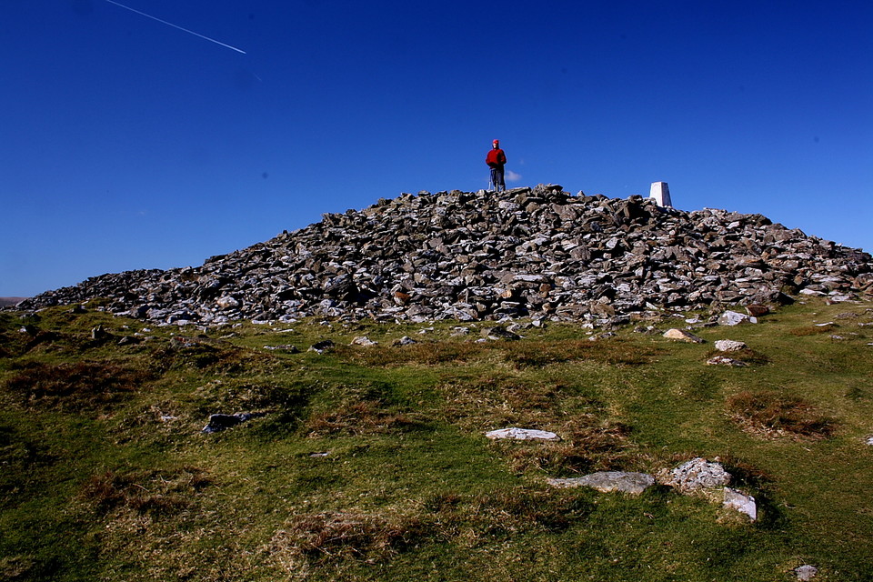
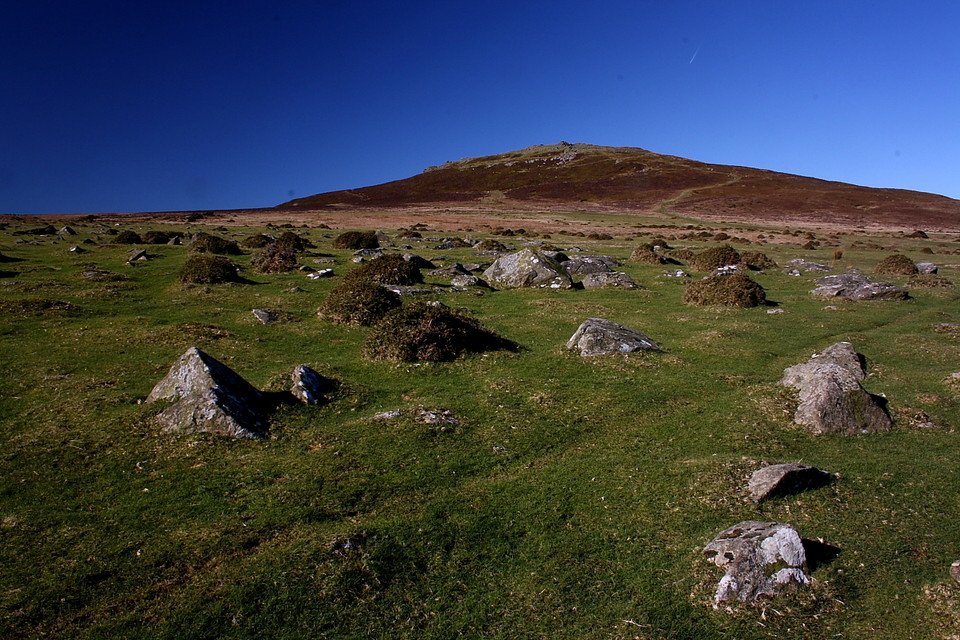
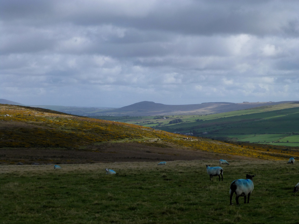
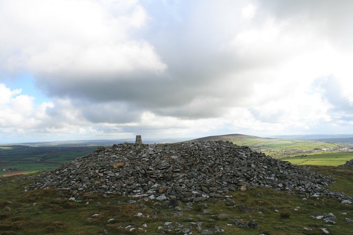
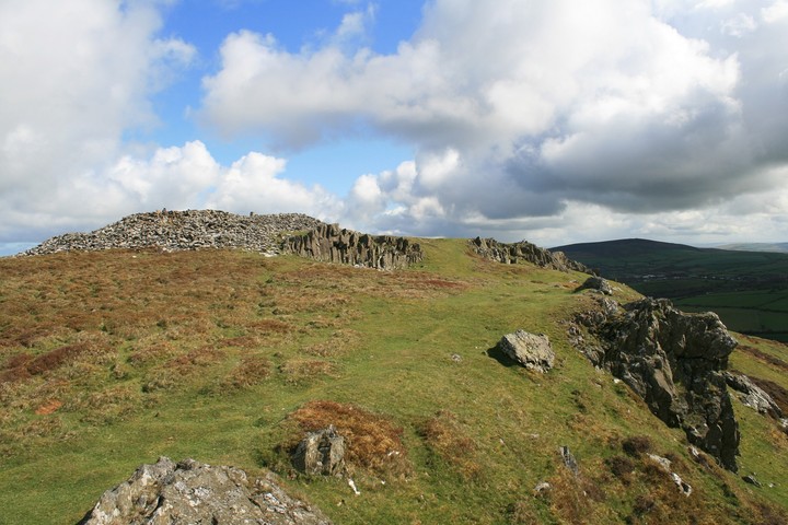
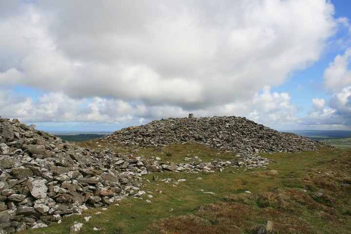
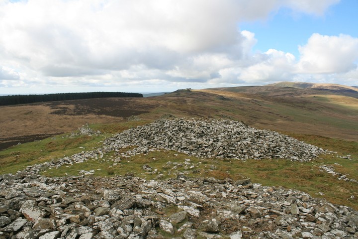
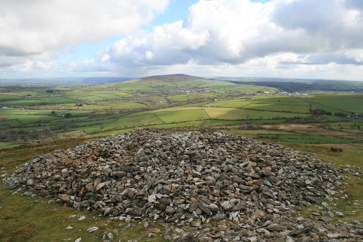
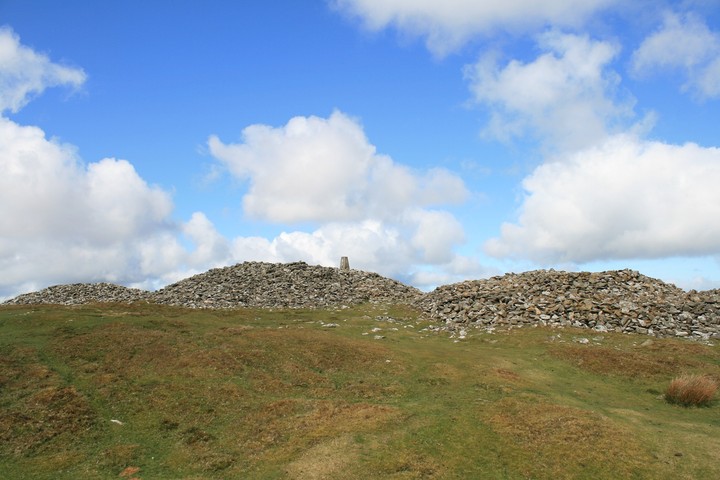
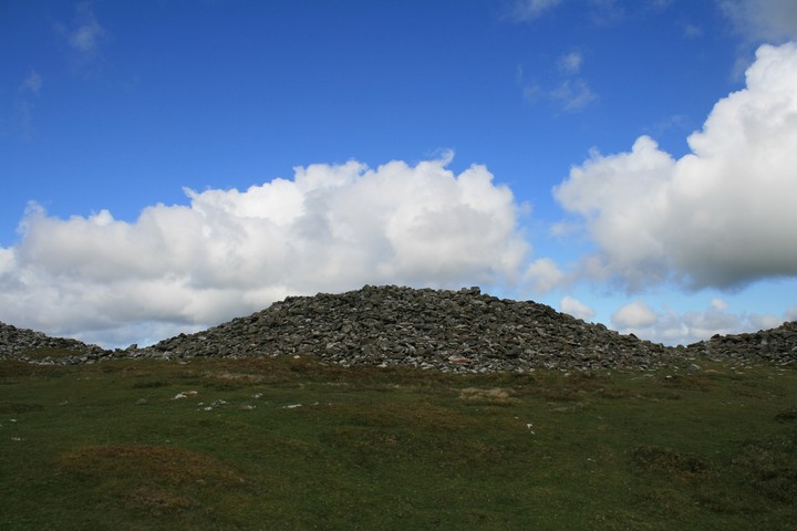
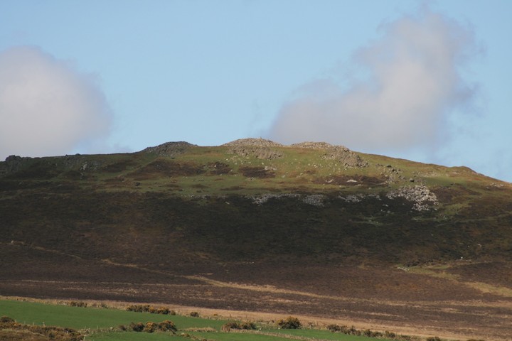
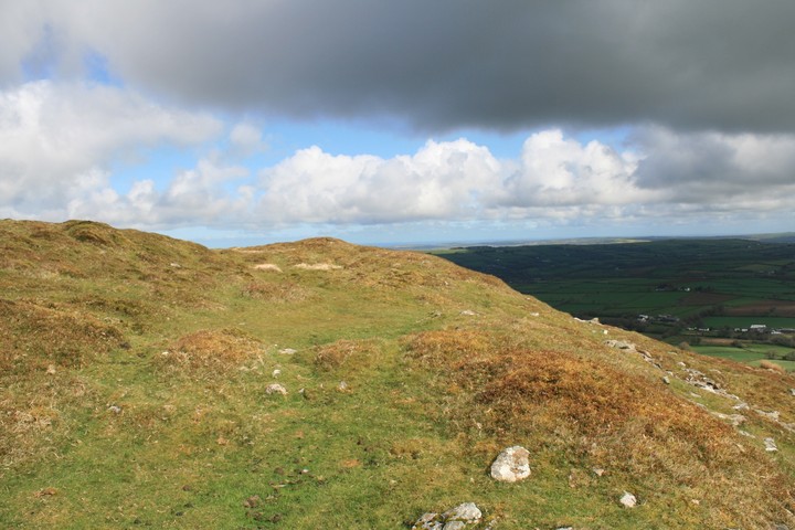
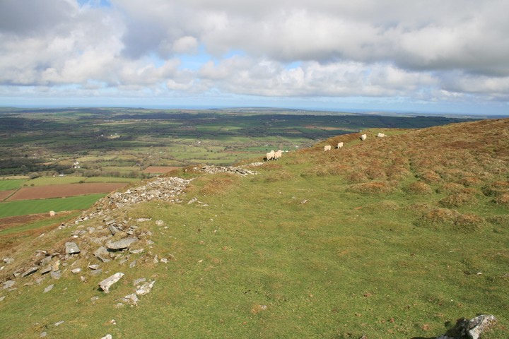
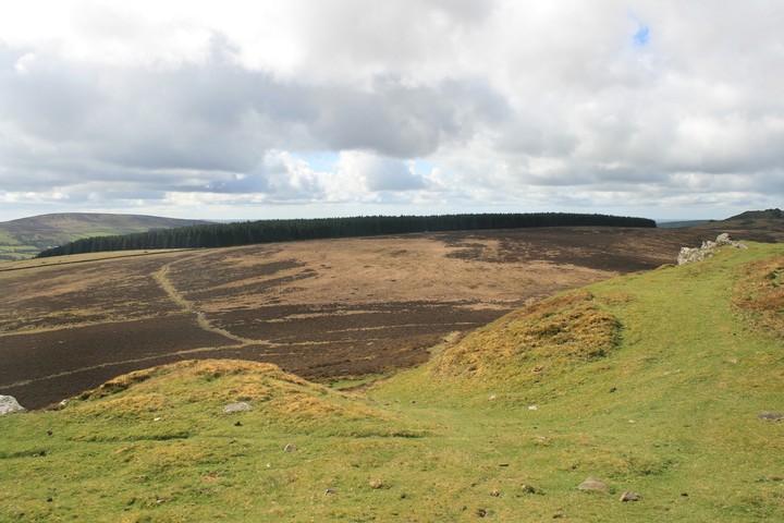
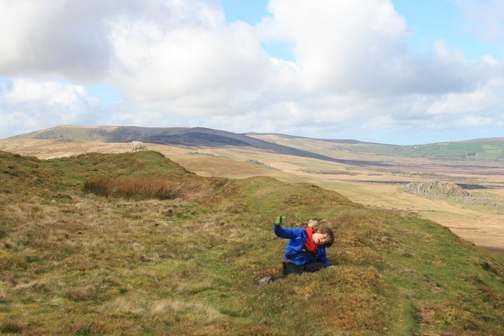
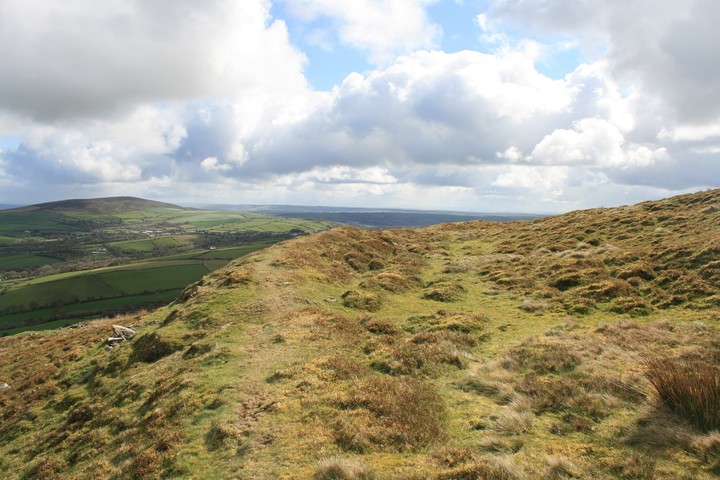
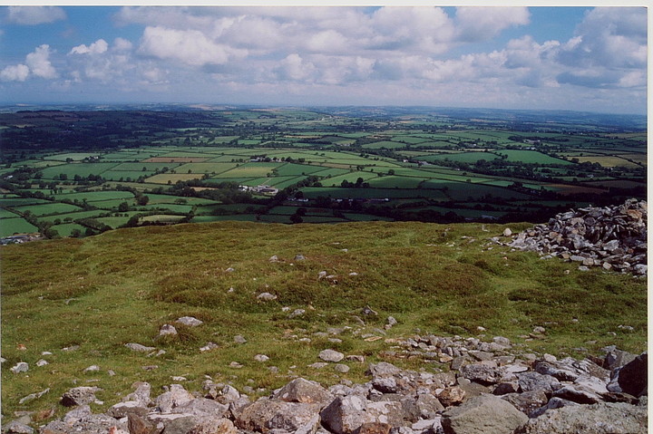
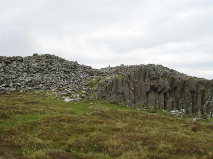
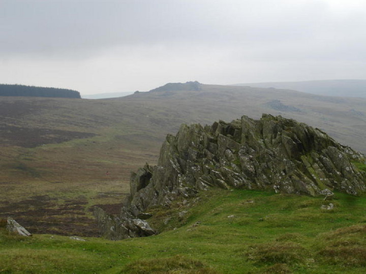
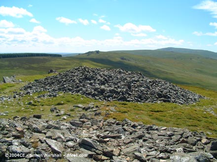
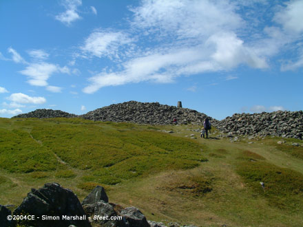
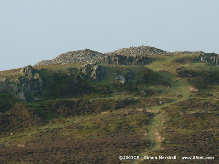
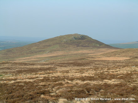
Beware ! I will be talking enthusiastically about this place, what we are sometimes privy to is more than just a visit to some stones by someone, sometimes it's a window onto a love affair, for it sometimes feels more like i'm documenting a love story between myself and these ancient wild high places, if I sometimes sound like a giddy child it's because I feel like one, it's just the best feeling in the world. We parked in the obvious place south east of the small mountain, and rediculously I let Eric talk me into taking the bikes up with us, it wasn't that hard going, it's not too steep. On the way up he would look back down the path and tell me how cool it will be to ride back down, pointing out dips and jumps he would go over, we're not mad, we had no intention to ride down from the top that would be suicide, however his second mountain lesson would be coming soon. As we neared the top I could see what looked to be the first line of defences for the hill fort, crawling north around the side of the hill and curling west to keep those pesky invaders out. We pass it by and reach the level ground at the top, lean our bikes against the rocks at the south east, and turn to look at the three ginormous cairns, if a mountain is lucky, no if i'm lucky a mountain will have a cairn on it, if i'm verrry verrry lucky it will have two decent cairns on it, but to get three cairns of such distinction you have to come to the magical playground of the stonehenge builders, the Preseli mountains. I read with disappointment that Carl wasn't impressed with the hill fort, saying little to be seen, ?? the defences can be followed all around the north of the hill and even the entrance is deep and obvious on the south side where there are no defences because of the precipitous rocks , Iv'e seen worse, much worse and whats worse is iv'e driven miles to see them, here though it is an absolute delight, a cherry on the top, for the main gatteau is the three huge cairns perched on top, keeping watch over the whole of the eastern mountain range. The cairns have been recently restored by army preparation students, whoever they are? but they have done a grand job. We could tell by the colouration of the stones where had been restored. But they either left a bit out or someones been at it already as there is a a small scoop in the western end of the western cairn, it's a comfy place to sit out of the wind and watch the clouds scudding over distant Carnmenyn. Carnmenyn, from here it hides from view the Carnmenyn burial chamber and the stone river, had I been alone I would go over there and introduce myself to the genius loci there. But not this time, they will have to wait till our next rendezvous. From up on top, on top of the trig point, we can see it all , west past Carnmenyn to Foal Feddau and Craig y cwm, Preseli's highest point. North is the coast, I can see Dinas head, and closer to somewhere before me is Beddyraffanc, east is Frenni Fawr and cairns and south is Carn Ferched and further off is the megalithic complex at Glandy cross. But the best thing is just sitting up on the central cairn watching the clouds shadows moving across the ground below, the occupants of these cairns must have been important indeed. But the worse thing is on our way back down, on the bikes, Eric went from lower than me, but no sooner had we got fifty yards he went tumbling head first over the handle bars, and I was unable to do a thing but watch it all happen, thankfully he wasn't hurt too much, mostly his pride, and with it comes a valueable mountain lesson, even if your thinking I can do that, it always pays to be conservative, no not them...ptui. This post appears as part of the weblog entry The big three
|
 Posted by postman
17th April 2012ce Edited 24th April 2012ce |
|
Visited 30.6.10. An easy place to access but a bit of a walk to get to the top - took me 20 minutes from the parking area alongside the road. At the top are 3 huge cairns, the largest of which has been 'excavated' by ramblers to make a rather comfortable shelter, with views across to the mountains. Good views all around although there is little to be seen of the hillfort defences. |
Posted by CARL 6th July 2010ce |
|
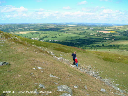
Visited 20th June 2004: Having come close to visiting Moel Drygarn in April 2003 on our way back from Bedd Arthur (William was far too tired after the 4 mile walk) we finally made it on the eve of Summer Solstice 14 months later. Ironically, William pegged it up the hill leaving the rest of us a long way behind him. At first we were tickled by his fell running, but then as he got smaller and smaller it got a bit alarming. Lou had to run to catch up with him while I plodded after with Alfie on my back. Near the top, just beyond the Iron Age defences I found Lou (looking exhausted) and Will looking bored. The three Bronze Age cairns in within the defences of the fort are blinking enormous! We made our way to the trig point (insensitively placed in the centre of the middle cairn) and were rewarded with beautiful panoramic views. To the west Carn Meini dominates the horizon, but you could be equally transfixed looking in any direction. After a snack in the lea of the trig point and some exploring, we headed back down towards the car. On the way back we met our friends who, by coincidence had been passing, and the run up to the Solstice began early! Bonza! |
Posted by Kammer 3rd December 2004ce Edited 3rd December 2004ce |
Folklore |
|
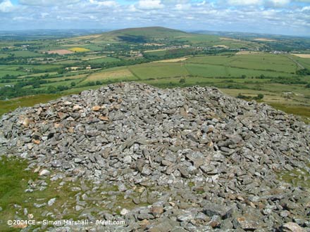
| Moel Drygarn consists of three sizeable cairnes Bronze Age within the defenses of an Iron Age hillfort. According to Mr Barber (in his book More Mysterious Wales), the three cairnes are known as Môn, Maelan and Madog. They are named after the three Welsh kings that are buried underneath them (allegedly). |
Posted by Kammer 7th May 2003ce Edited 3rd December 2004ce |
Links |
|
Multimap Aerial PhotoAn excellent aerial photo of Moel Drygarn, clearly showing the Iron Age ramparts, and the three huge Bronze Age cairns that stand within them. For some reason the stone of the ramparts and the cairns looks a bit pink. |
Posted by Kammer 7th May 2003ce Edited 28th June 2004ce |