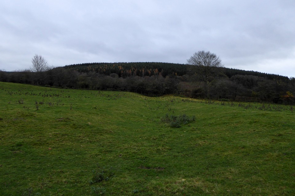
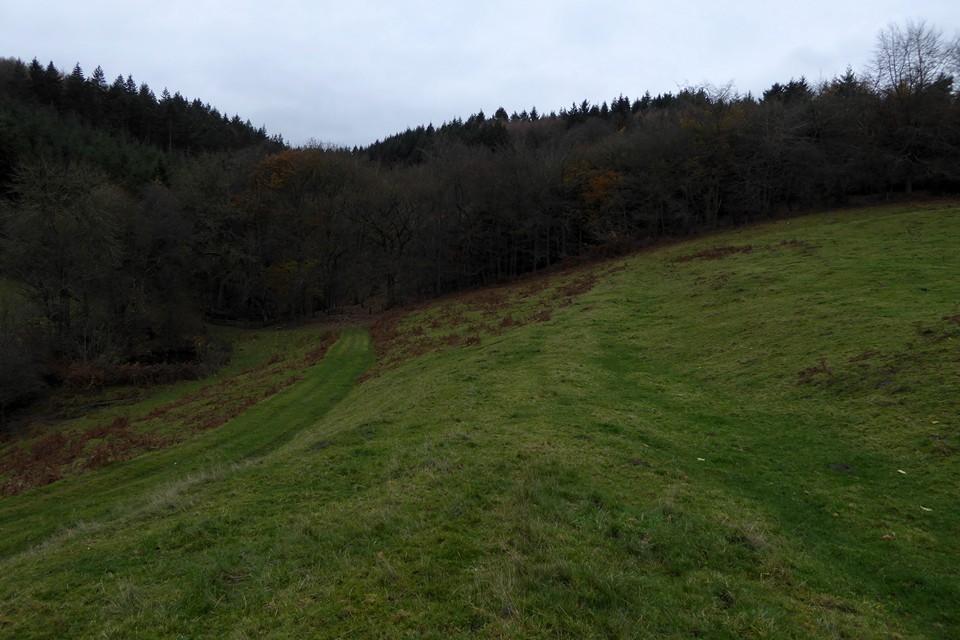
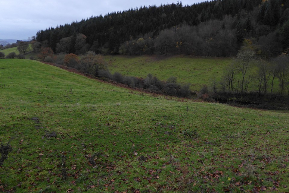
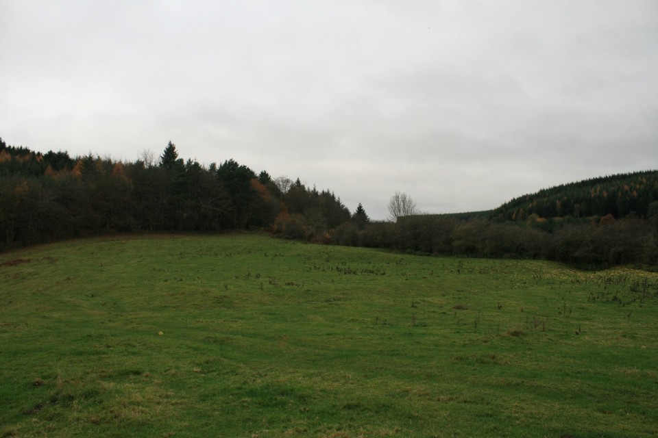
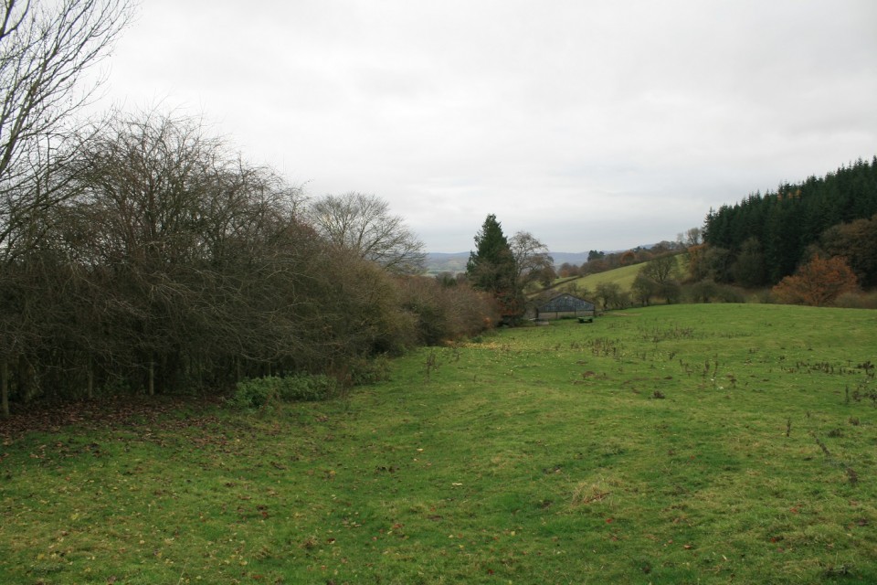
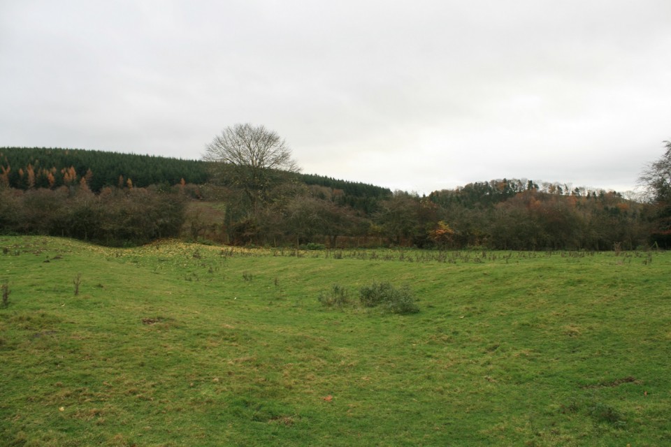
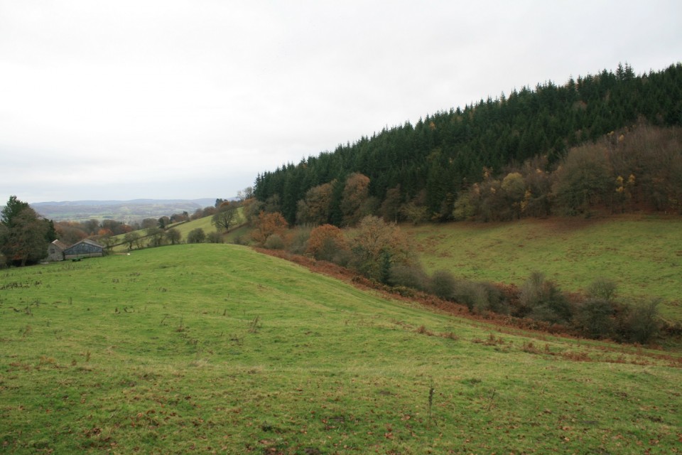
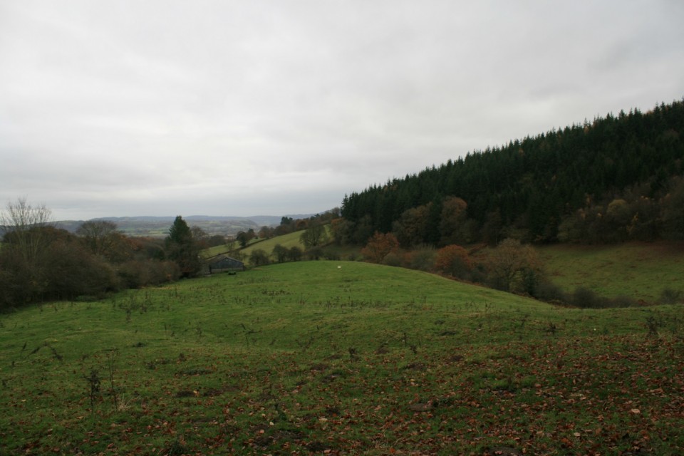
Log in
|
Register
Home
Latest Posts
Forums
Maps
Help
Browse Sites
News
Blog
Contributors
The Books
Select
-
Belgium
Denmark
Eire
France
Greece
Italy
The Netherlands
Norway
Portugal
Republic of Malta
Spain
Sweden
Switzerland
United Kingdom
England
Northern England
Shropshire
Castle Ditches
Hillfort
Castle Ditches (Hillfort) on The Modern Antiquarian, the UK & Ireland's most popular megalithic community website. The site also contains a vast wealth of information on many more ancient sites across the UK & Ireland.
No image available
Nearest Town:
Knighton (7km SW)
OS Ref (GB):
SO353759 /
Sheets: 137, 148
Latitude:
52° 22' 36.71" N
Longitude:
2° 57' 2.01" W
Added by
Reg
0 discussions
Start a topic
Show |
Hide
Web searches for Castle Ditches
Flash Earth
Flickr
Google
Google Images
MAGIC
The Megalithic Portal
Bing
Stone Pages
Streetmap.co.uk
Wikipedia
Show map
(inline Google Map)
- Sites within 20 km -
-
Great Hagley (1.28km WNW) (5 posts)
Coxall Knoll (2.81km SE) (1 post)
Buckton Round Barrows (4.33km E) (1 post)
Caer Caradoc (4.39km WSW) (4 posts)
Walford Barrow (4.73km ESE) (2 posts)
Pen y Wern (4.93km WNW) (8 posts)
The Rock of Woolbury (5.43km WNW) (0 posts)
Brandon Camp (5.84km ESE) (2 posts)
Rockhill (6.79km W) (6 posts)
Burrow Hill (7.62km NNE) (1 post)
Downton Camp (8.07km E) (1 post)
Bury Ditches (8.21km NW) (6 posts)
Skyborry (8.52km WSW) (2 posts)
Whitcott Keysett (9.91km WNW) (1 post)
Ambleside Bowl Barrow (10.11km NE) (2 posts)
Llanfair Hill (10.9km W) (5 posts)
Norton Camp (Shropshire) (11.12km ENE) (7 posts)
Stapleton Henge (11.18km SSW) (1 post)
Belair (11.21km NE) (2 posts)
Kinsham Cupmarked Stone (11.6km SSE) (1 post)
Gilfach Hill (11.73km SW) (5 posts)
Pyon Wood Camp (11.78km ESE) (2 posts)
Lower Court (Lower Kinsham) (11.9km SSE) (1 post)
Melin-y-Grogue (12.08km W) (1 post)
Billings Ring (12.09km N) (1 post)
Fron Camp (12.29km W) (5 posts)
Wern-y-Gaufron (12.62km W) (1 post)
Croft Ambrey (12.98km ESE) (17 posts)
Castle Idris (12.99km W) (1 post)
Pennant Pound (13.04km W) (1 post)
Lea Stone (13.1km NNW) (1 post)
Wapley Hill (13.51km S) (18 posts)
Bromfield Barrow Cemetery (14.25km ENE) (13 posts)
Cwmade Barrow (14.35km SW) (6 posts)
Fedw Llwyd (14.46km W) (1 post)
Caer Din Ring (14.47km WNW) (1 post)
Botley Stone (14.67km NNE) (1 post)
Beggar's Bush (14.89km SW) (4 posts)
Castle Ring (15.12km SW) (9 posts)
Old Stone (Pant-y-Caregl) (15.51km W) (2 posts)
Caer Din (15.96km NW) (1 post)
Milton Cross (16km SSE) (1 post)
Burfa Camp (16.4km SSW) (12 posts)
Knobley Brook barrow (16.8km SSW) (1 post)
Roveries Hill (16.82km NNW) (1 post)
Kinnerton Court Stone II (16.94km SW) (8 posts)
Kinnerton Court Stone I (17.02km SW) (12 posts)
Knobley standing stone (17.11km SSW) (1 post)
Crossfield Lane barrow (17.33km SW) (3 posts)
Lower Short Ditch (17.79km WNW) (1 post)
Hindwell Pool (18.03km SSW) (4 posts)
Hindwell Enclosure (18.11km SW) (4 posts)
Hindwell Stone (18.22km SW) (4 posts)
Heath Mynd (18.24km NNW) (2 posts)
Barrister's Plain cross dyke (18.33km NNE) (1 post)
The Four Stones (18.47km SW) (36 posts)
Walton Green Cursus (18.6km SSW) (2 posts)
Hindwell Cursus (18.83km SW) (3 posts)
Caynham Camp (19.27km E) (16 posts)
Black Mixen (19.37km SW) (10 posts)
Harpton Court Barrow (19.44km SW) (2 posts)
Crossway Barrow (19.53km SW) (0 posts)
Cwm Mawr Stone Axe Factory (19.67km NW) (4 posts)
Old Radnor Church (19.67km SSW) (5 posts)
Shepherd's Well cross dyke (19.7km SW) (5 posts)
Boiling Well barrows (19.85km NNE) (9 posts)
Upper Short Ditch (19.85km WNW) (1 post)
Bache Hill and the Whimble (19.85km SW) (26 posts)
Roundton (19.94km NW) (3 posts)
- Facilities within 20 km -
-
Knighton Tourist Infor... (Tourist Information: 7.6 km SW)
- Add -
-
Add news
Add an image
Add fieldnotes
Add folklore
Add miscellaneous
Add a link
-
Add a site
Add a nearby facility
Add an alternative name/spelling