The Modern Antiquarian. Stone Circles, Ancient Sites, Neolithic Monuments, Ancient Monuments, Prehistoric Sites, Megalithic MysteriesThe Modern Antiquarian


Arbury Hill

Hillfort

<b>Arbury Hill</b>Posted by juameiImage © © Environment Agency copyright and/or database right 2015.
This site is of disputed antiquity. If you have any information that could help clarify this site's authenticity, please post below or leave a post in the forum.
Nearest Town:Daventry (4km N)
OS Ref (GB):   SP5558 / Sheet: 152
Latitude:52° 13' 1.2" N
Longitude:   1° 11' 41.49" W

Added by Damonm


Discussion Topics0 discussions
Start a topic


Show map   (inline Google Map)

Images (click to view fullsize)

Add an image Add an image
<b>Arbury Hill</b>Posted by juamei <b>Arbury Hill</b>Posted by Damonm

Miscellaneous

Add miscellaneous Add miscellaneous
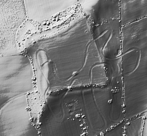
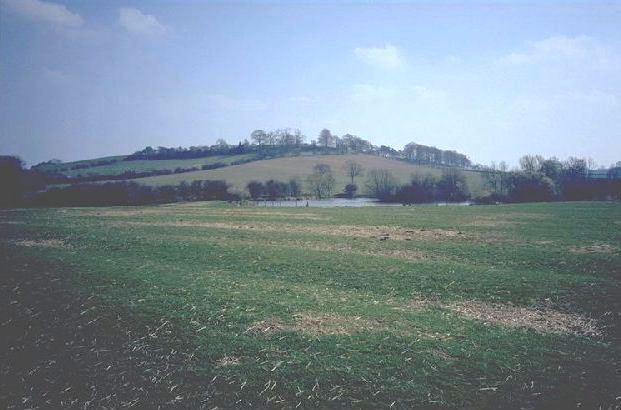
Roughly square topped hill with a visible bank rampart. Iron Age settlement. Fantastic view across countryside from summit. Highest point in Northamptonshire (224 metres above sea level). Sadly spoiled on one side with a dirt track for motorbikes. Possible connection with Borough Hill to the north east. No official access but a bridleway runs close by. The River Nene rises in a spring to the South east. Posted by Damonm
14th January 2003ce
Edited 14th January 2003ce