|
|

|
|
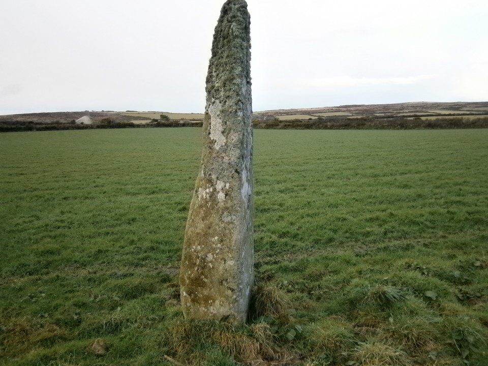
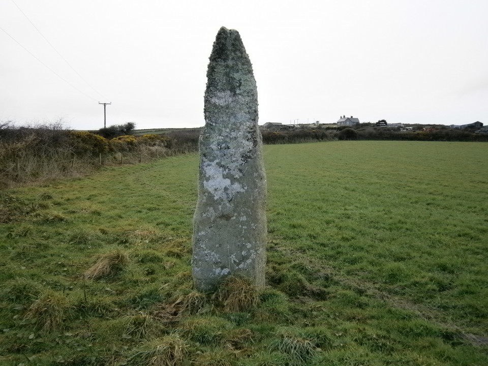
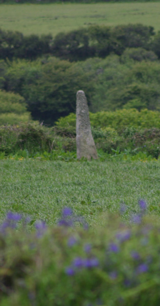
TryStanding Stone / Menhir
|
||||||||||||||||||||||||
|
|
|
Images (click to view fullsize) |
|
|
Fieldnotes |
|
|
Visited 18.03.13 The OS Grid Reference given for Try Menhir on this page is wrong. According to Historic England 1004626 (go to Links) the correct OS Grid Reference is SW4596434973. This corresponds to its position on OS Aerial Mapping. If you search for SW460350 you will find Try Menhir. |
Posted by markj99 14th March 2021ce Edited 14th March 2021ce |
|
Visited 21/5/5 I parked the car at Chysauster car park and walked along the road to the footpath at SW465347. The woman at the house next to the footpath advised me to avoid the horses in the field as they can become a 'bit too friendly'. Following the footpath across the first stile (into a roped off corner of the horse's field), this was easily done by jinking into the next field through a gate (horses in field), and returning at the far corner by dodging under the fence which appears to have been designed for exactly that purpose. After the second stile, the footpath is poorly defined, but I headed straight across the meadow as depicted on the map to a stile hidden in the undergrowth of the hedge. After this third stile, the stone can be seen on the far side of the second field on the left. I couldn't find a way into this field (the footpath carries on up to Try Farm, but is very poorly defined from here). Sadly, in the evening I found that the photos I'd taken had mysteriously disappeared from the camera! This meant I had to return later in the week, when it was much dryer than the 8am dew flood I'd encountered this time round. This post appears as part of the weblog entry Well Cross in Kernow (1)
|
6th June 2005ce Edited 6th June 2005ce |
Miscellaneous |
|
|
Try menhir SW460350 - I didn't have chance to visit this but it's mentioned in both Ian McNeil Cooke's 'Standing Stones of the Land's End' (1998 - Men-an-Tol Studio) and Craig Weatherhill's 'Belerion: Ancient Sites of Land's End' (Cornwall Books - 1981). This 2.55/2.7m tall menhir (accounts vary) was excavated in 1958 and 1962 by Vivien Russell and Peter Pool. A stone cist with a massive capstone was found buried near the foot of the stone. Originally covered by a small cairn the cist contained a 'Handled A' beaker, various fragments of pottery, fragments of burnt bones, and two unburnt long bones. Around the cist were scattered shards and flints, and a saddle quern was also uncovered. The beaker can be seen in the County Museum in Truro. |
 Posted by pure joy
11th January 2003ce |
Links |
|
Historic England 1004626Try Menhir on Historic England. |
Posted by markj99 14th March 2021ce Edited 14th March 2021ce |