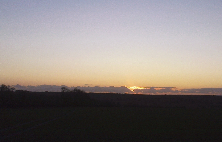
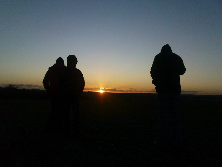
Yesterday, the day before midwinter, I came over to the Cursus with three friends to see the sunset. Does it actually go into Gussage Down long barrow from the original east end of the cursus? (see this summer's blog at http://www.themodernantiquarian.com/post/77897/weblog/ ) I have seen only one photograph of this alignment, in Martin Green's book "A Landscape Revealed", so I was curious to see if it really happened as accurately as they say. I wasn't sure if my chums would think it was worthwhile, lacking in visible earthworks. We had just been to Knowlton in the dying rays of the sun. Nice midwinter alignment there too through the causeway in from the road.
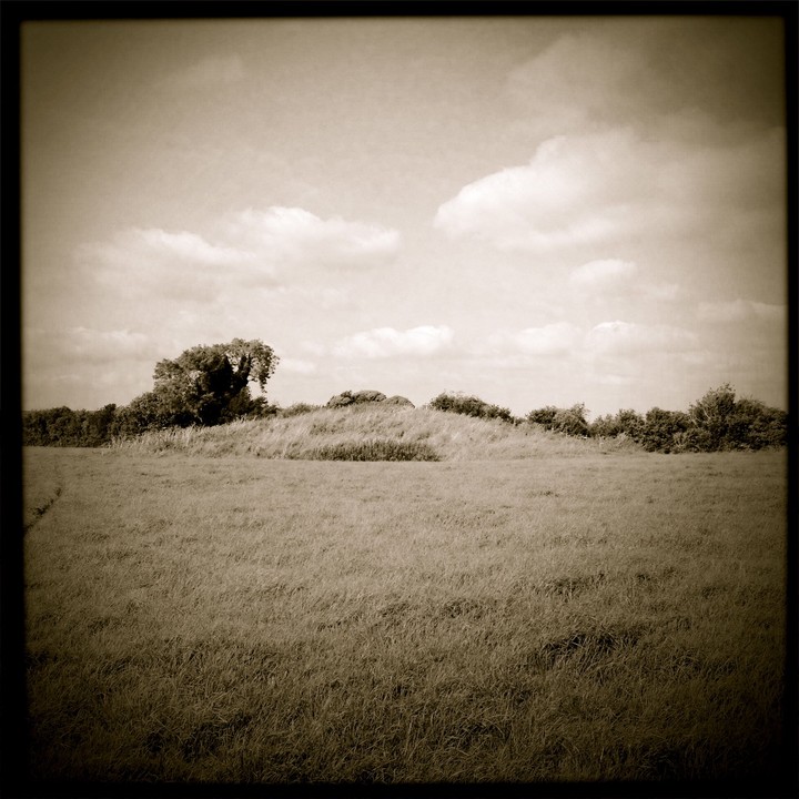
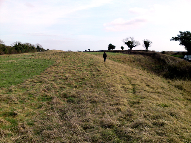
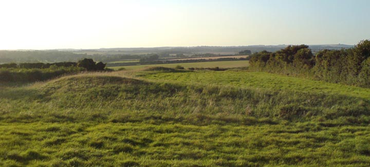
It was about -1 degrees C as we left the warmth of the car and walked down the side of the field. Now in the low sun, the one foot high ridge that seems likely to have been the original eastern end and might have the platform for viewing the sunset was quite easy to see, until you are near it. We stood along the "ridge" and watched the orange sun slide through a thin strip of cloud, more horizontally than sinking. You could get the impression it is gliding down to rest on Gussage Down. A hare ran out in front of us, stopped and had a good long look. I realised that the appearance of that animal inside the cursus bank at the same time 5200 years ago would have been seen as pretty significant, the hare spirit coming to hang out with the high downland folk.
And yes, the alignment does happen. The sun hits the skyline at the long barrow's SE end and glides along to the NW end where there is just a glimmer left. It disappears into the ground right next to the NW end. These precise alignments are moved slightly by where you stand along the ridge, but not much, maybe half a sun-diameter (15 minutes of arc). When the bank of the cursus was a full 2 meters it would have interfered as well and I think the sun would not have appeared again outside the cursus. We took a few photographs but it was so cold I had to get my hand back in the glove pretty quick.
The sun was down and the old year dead (approximately). We stood there for a bit watching the snowstorm clouds billowing up on the horizon. I went to investigate what looked like some dead creature that had succombed to the cold in the field ahead. It was a battered motorbike tyre, and it had landed around the skull of a rabbit. The symbols abound when you start looking. Jeez it was cold. The flask of tea in the car went down a treat.
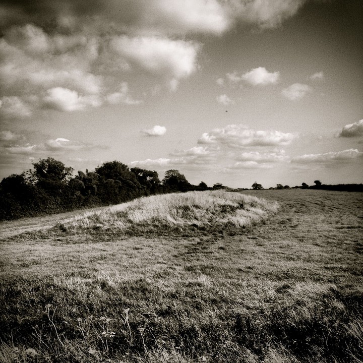
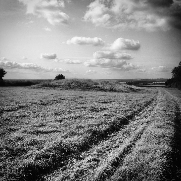
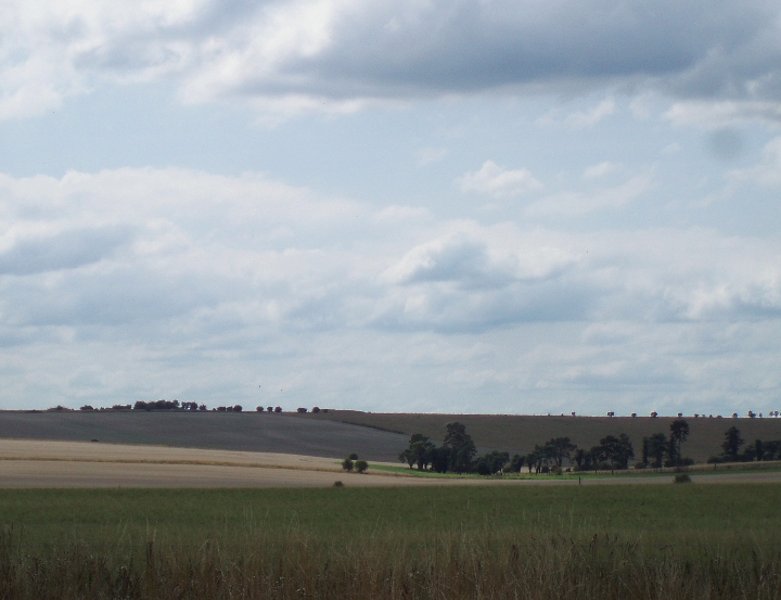
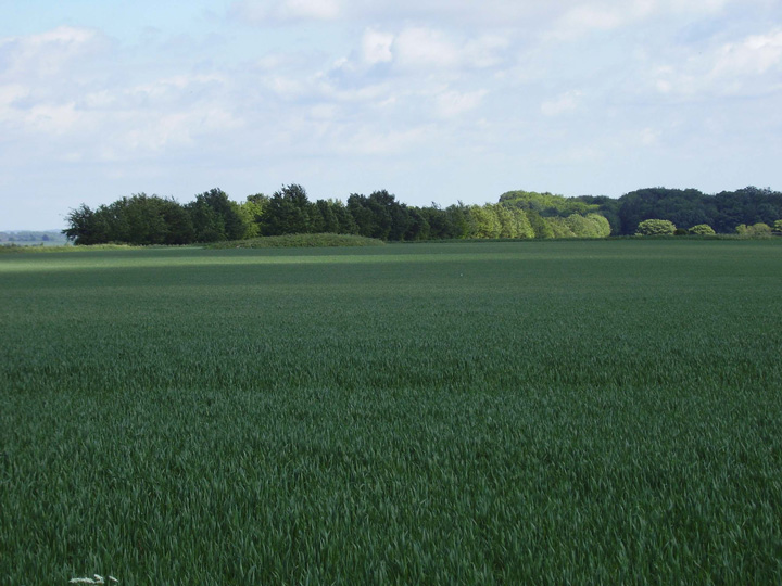
Walking North from the B3081 (easy parking) along Ackling Dyke to Oakley Down Barrow cemetery, the line of the Cursus is just distinguishable across the fields to the east. At Oakley Down there's a huge saucer barrow and many fine bowl barrows with Wor Barrow visible on the westerly skyline. Didn't have time to head South along the dyke to where it crosses the cursus so must return soon. The shadow of the cursus is however visible as crop marks looking south across to Gussage Hill.
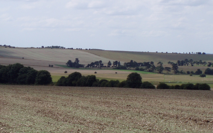
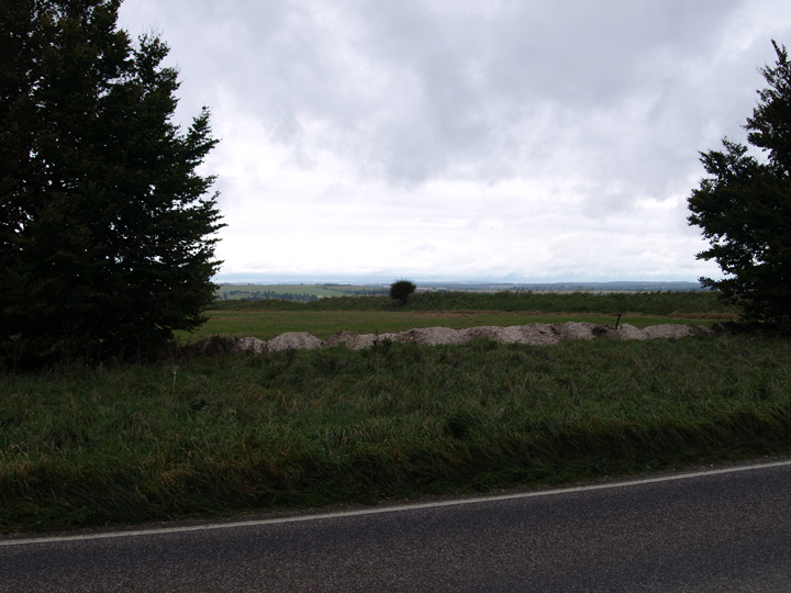
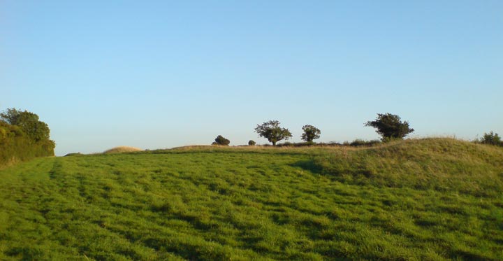
I promise this is my last one. Isn't tecknologie marvellous? You are looking at the Bottlebush Down terminus - yes, the one-foot-high bump running across the screen. On the skyline is the Gussage Down long barrow where the midwinter sun sets. You can zoom out and turn round to see where Mr Cope took his photo all those years ago. And you can drive north to see Berendes Beorh and south to see the round barrow unceremoniously called "Wimborne St Giles 35" right on the verge of the road. And some roadkill. Eeek.
Pleased to see much of England's lovely lanes now available online. Especially as I'm trapped in the city studying for exams and I can top up by looking at some country side even if I can't go there yet. Sniff.
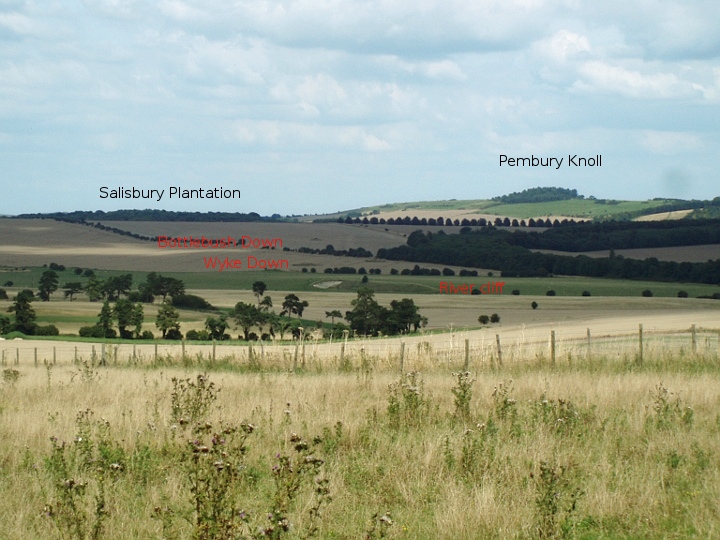
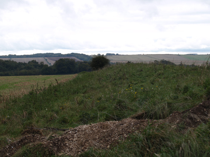
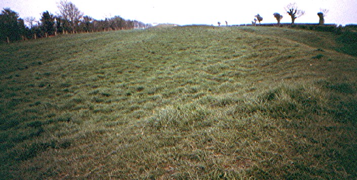
ANYWAY... this is Mr Green's famous "Pleistocene river cliff". There was a boggy spring at the base of this and a stream rose here before heading down to Knowlton. The cursus surrounds the car at this point. And I'd like to think the driver knew that.


 Posted by UncleRob
 Posted by dickie