The Modern Antiquarian. Ancient Sites, Stone Circles, Neolithic Monuments, Ancient Monuments, Prehistoric Sites, Megalithic Mysteries

England   Southern England   West Sussex  

Rackham Banks

Dyke

<b>Rackham Banks</b>Posted by A R CaneImage © A R Cane
Nearest Town:Arundel (6km SSW)
OS Ref (GB):   TQ052126 / Sheet: 197
Latitude:50° 54' 9.67" N
Longitude:   0° 30' 13.41" W

Added by Cursuswalker


Discussion Topics0 discussions
Start a topic


Show map   (inline Google Map)

Images (click to view fullsize)

Add an image Add an image
<b>Rackham Banks</b>Posted by A R Cane <b>Rackham Banks</b>Posted by A R Cane <b>Rackham Banks</b>Posted by A R Cane <b>Rackham Banks</b>Posted by A R Cane <b>Rackham Banks</b>Posted by A R Cane <b>Rackham Banks</b>Posted by Cursuswalker

Fieldnotes

Add fieldnotes Add fieldnotes
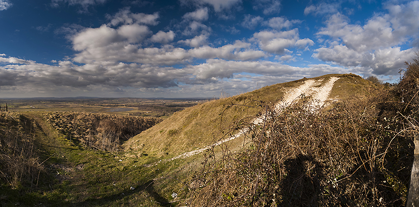
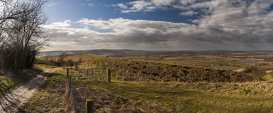
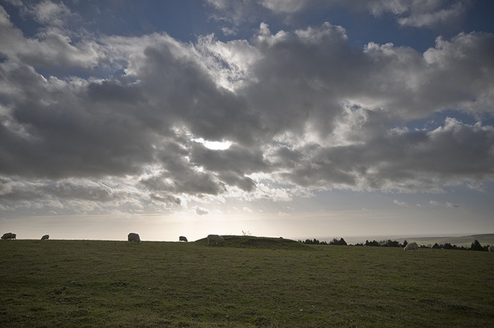
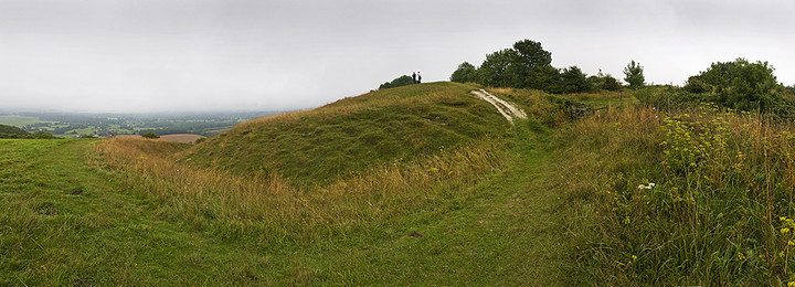
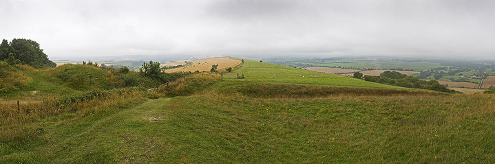
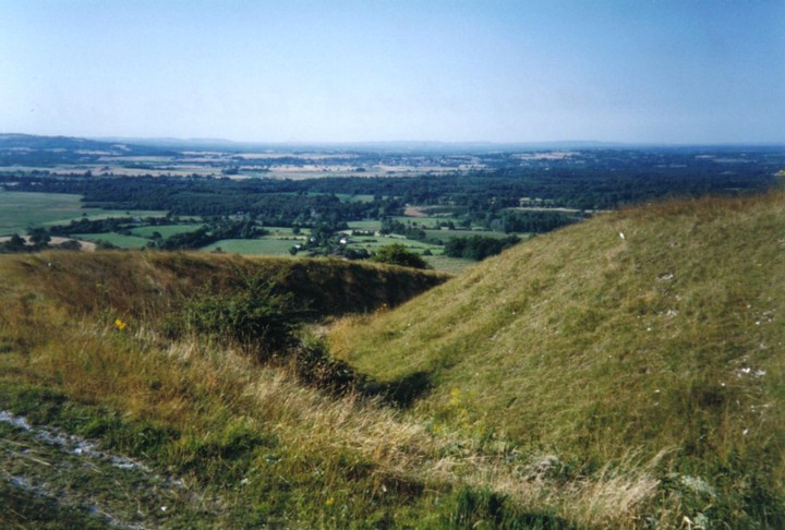
A few miles West of Chanctonbury Ring, and also on the South Downs Way, this prominant ditch and bank straddles the path, and seems to be an Iron Age boundary marker, though I have been able to find little to confirm this.

To reach it head about 2 miles East, on the South Downs Way, from Amberley Train Station. In guides it can be found in the Washington to Amberley section.
Cursuswalker Posted by Cursuswalker
3rd January 2003ce
Edited 25th January 2004ce