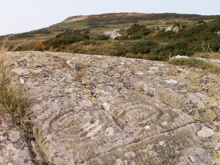
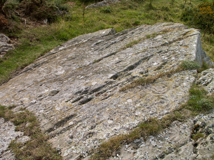
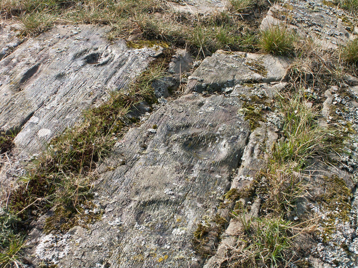
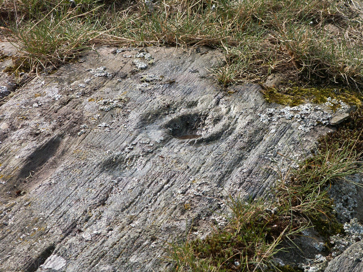
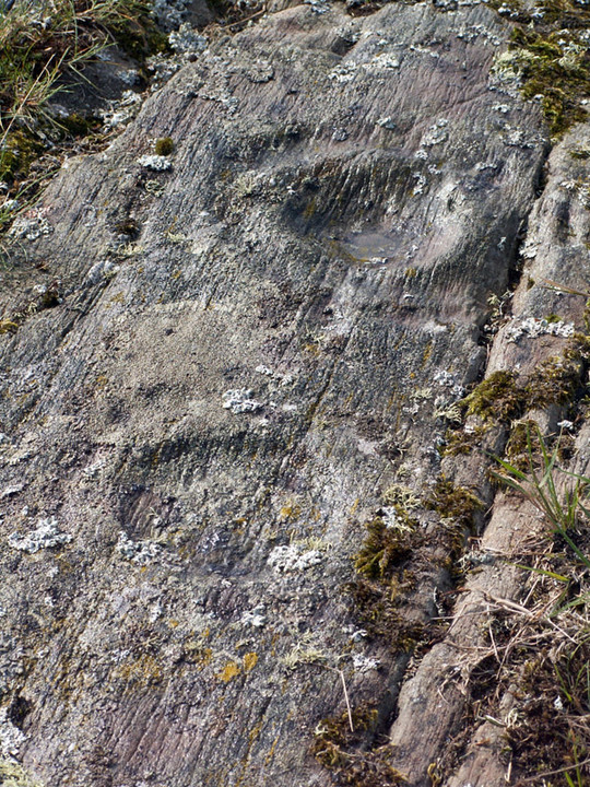
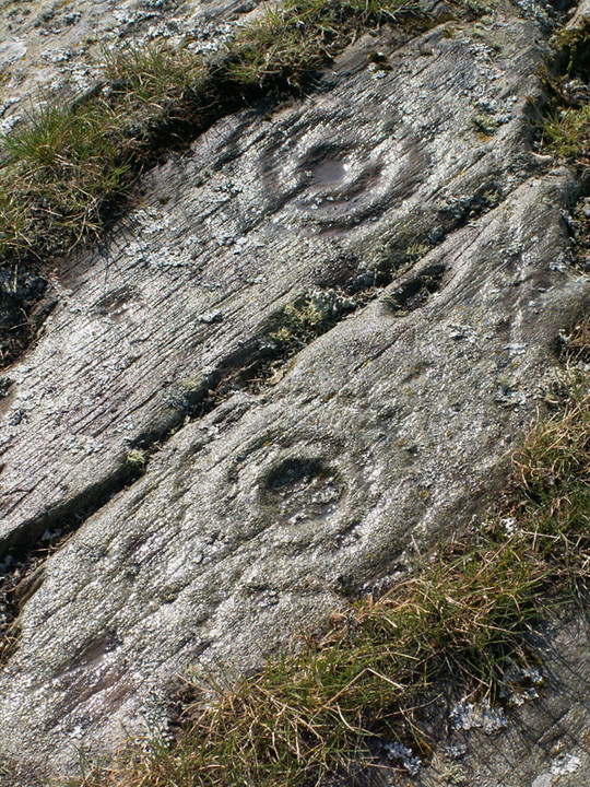
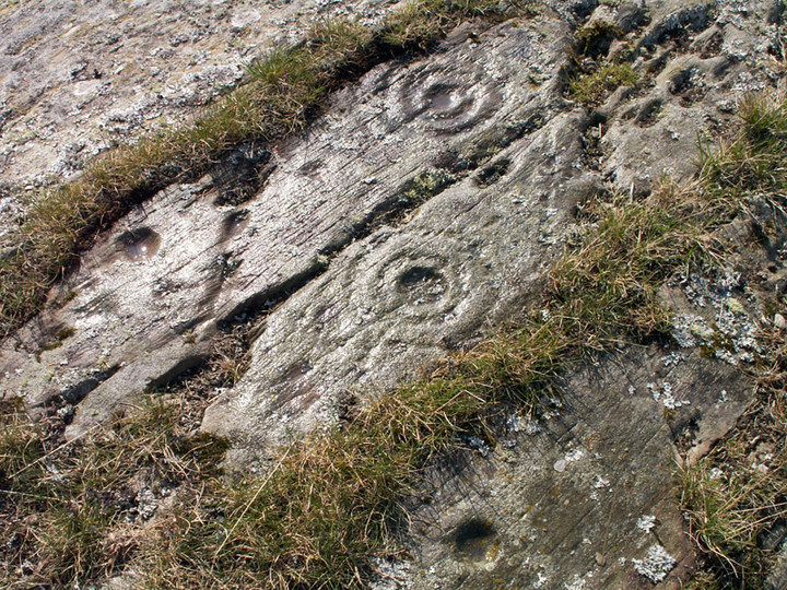
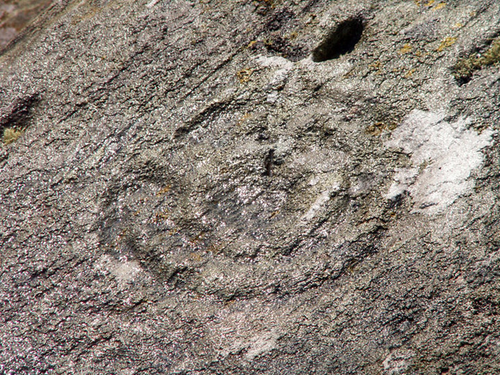
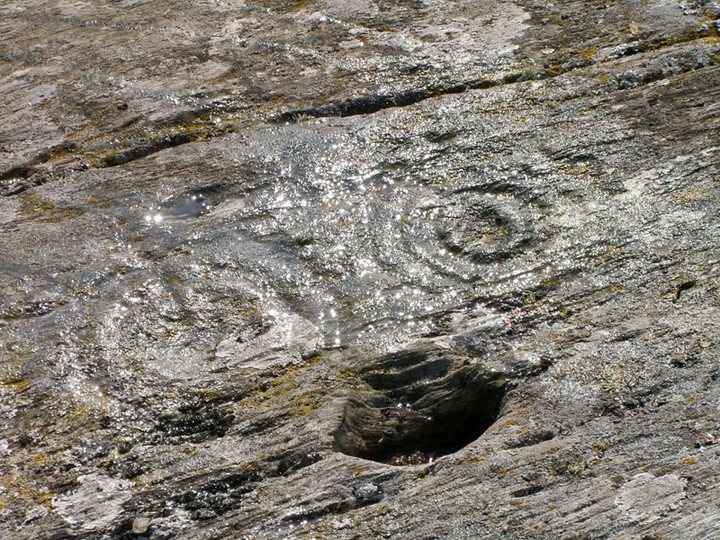
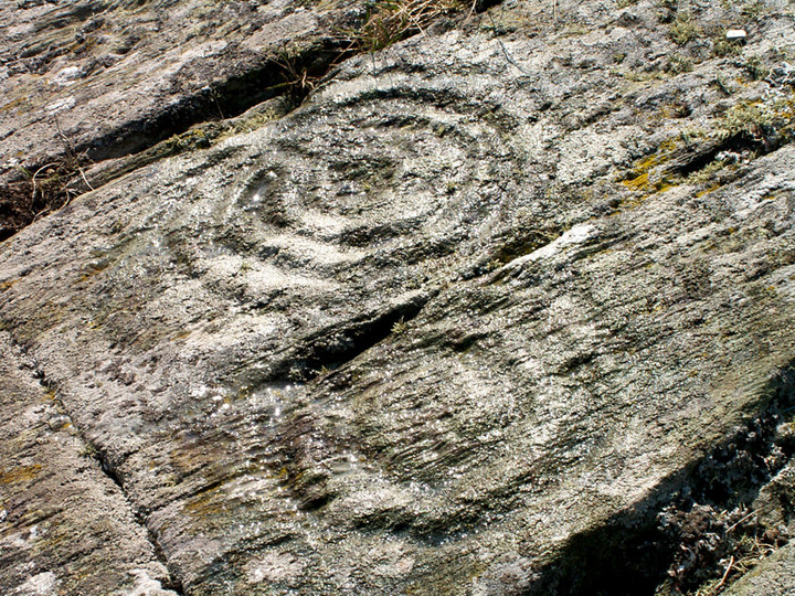
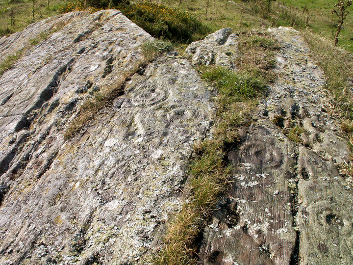
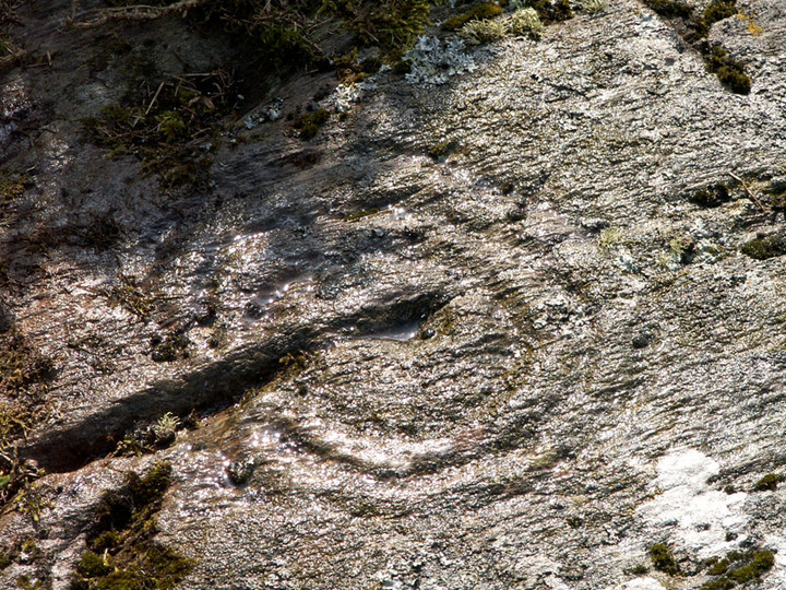
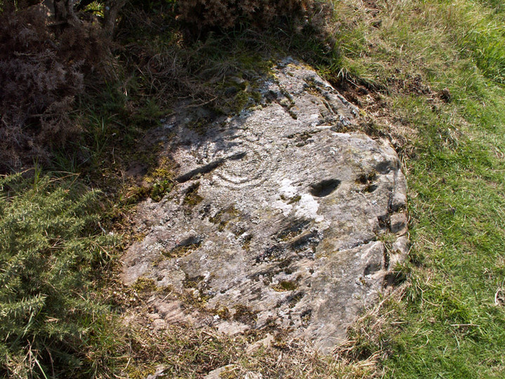
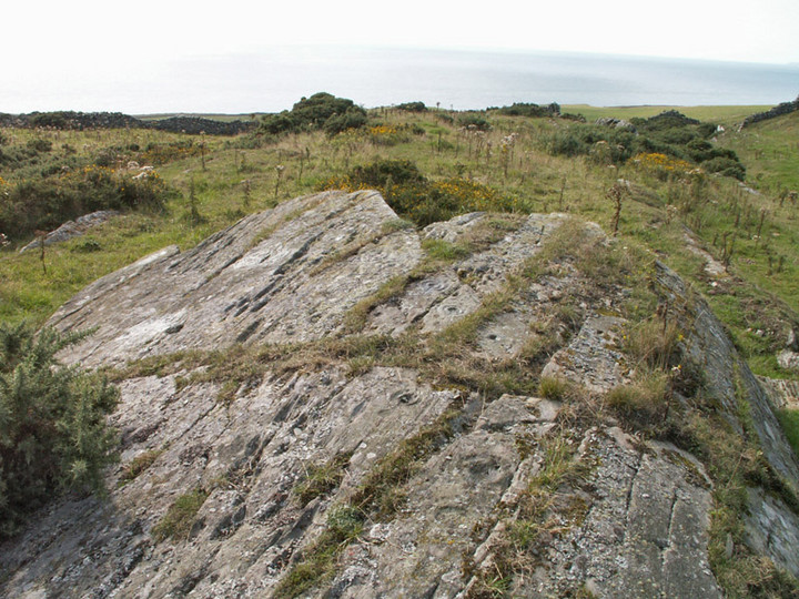
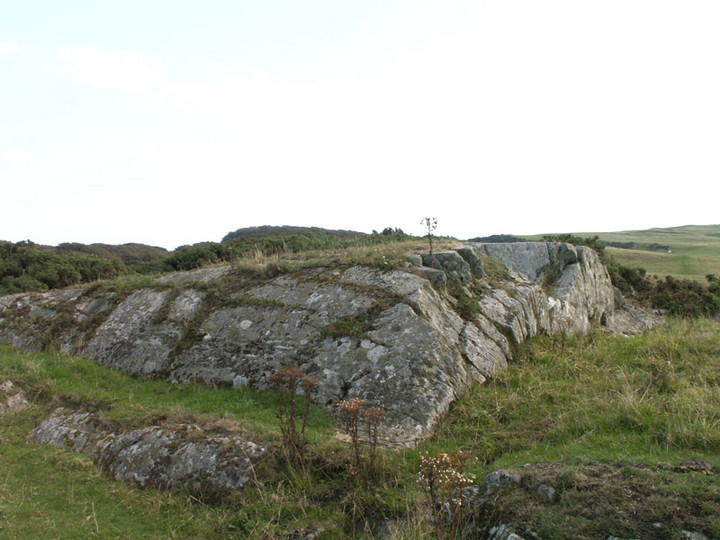
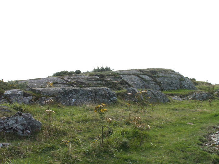
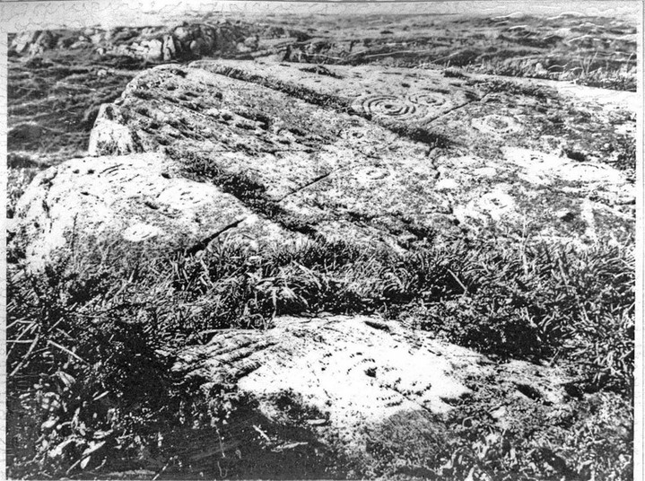
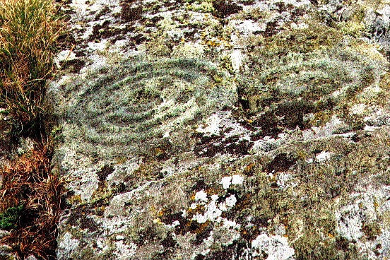
Glasserton Mains
Cup and Ring Marks / Rock Art
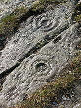 Image © peblbewolf Image © peblbewolf
|
| Nearest Town: | | Whithorn (5km NNE) | | OS Ref (GB): | | NX407375 / Sheet: 83 | | Latitude: | | 54° 42' 25.34" N | | Longitude: | | 4° 28' 22.08" W |
|
|
Web searches for Glasserton Mains
|
|
Glasserton Mains on BRAC Updated
|
Posted by markj99
2nd April 2021ce
|
|