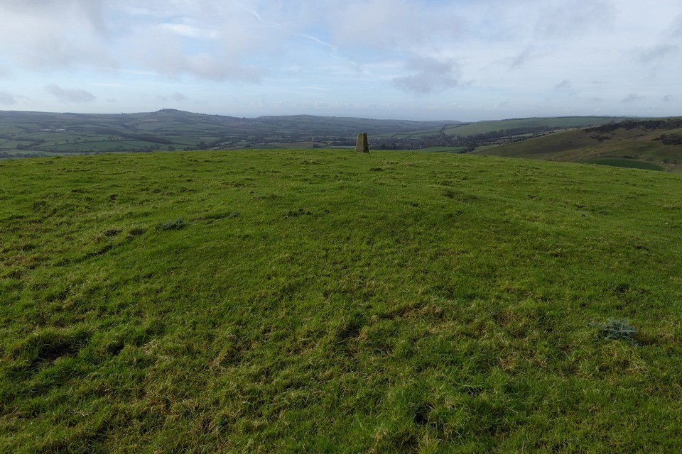
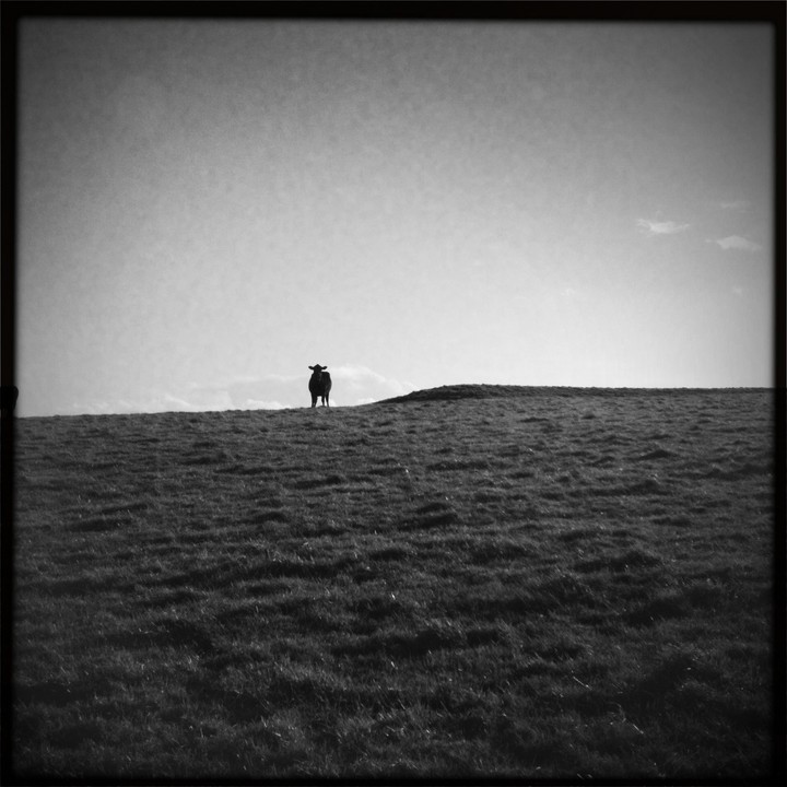
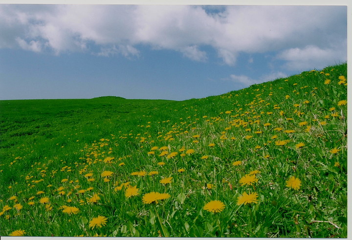
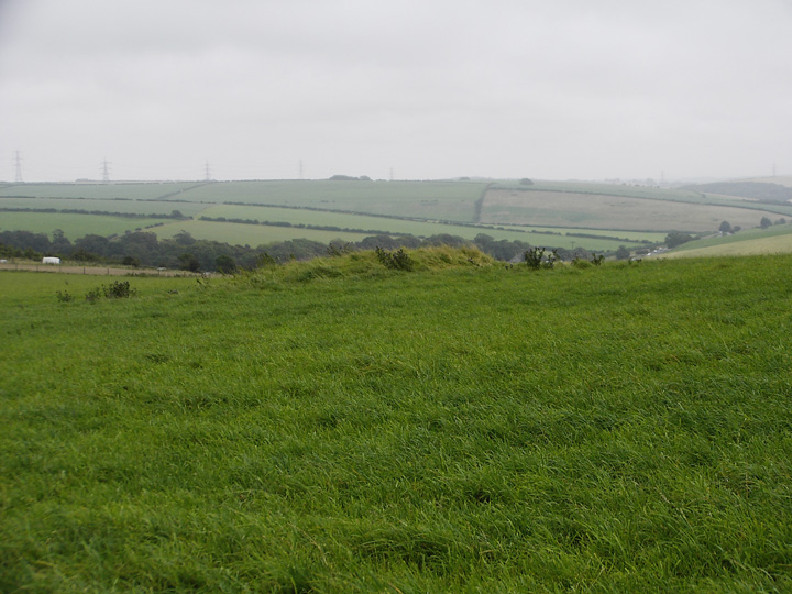
Long Bredy is one of the most accessible sites in this area, it even has it's own bus stop! From the bust stop it's through the gate and up the concrete trackway to the top, and you're there. This site is a pleasure to visit since the site on a public right of way, the bank barrow itself magnificent and the views also. It's just high enough up and away from the road for it to be possible to just lose yourself here for a while. Today I only had the company of a few cows, the custodians of the site perhaps.
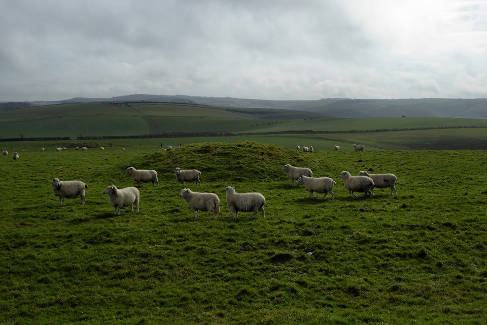
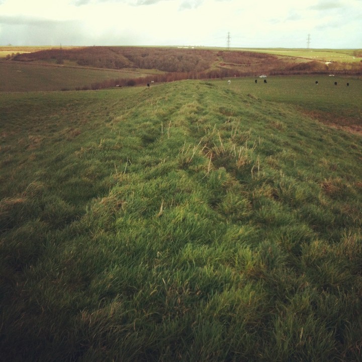
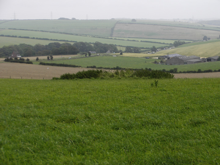
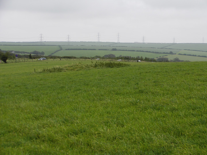
The Winterbourne Poor Lot round barrows are in full view from the bank barrow and this is one of the better perspectives to see Poor Lot from.
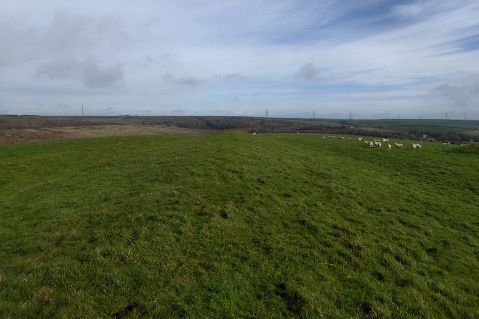
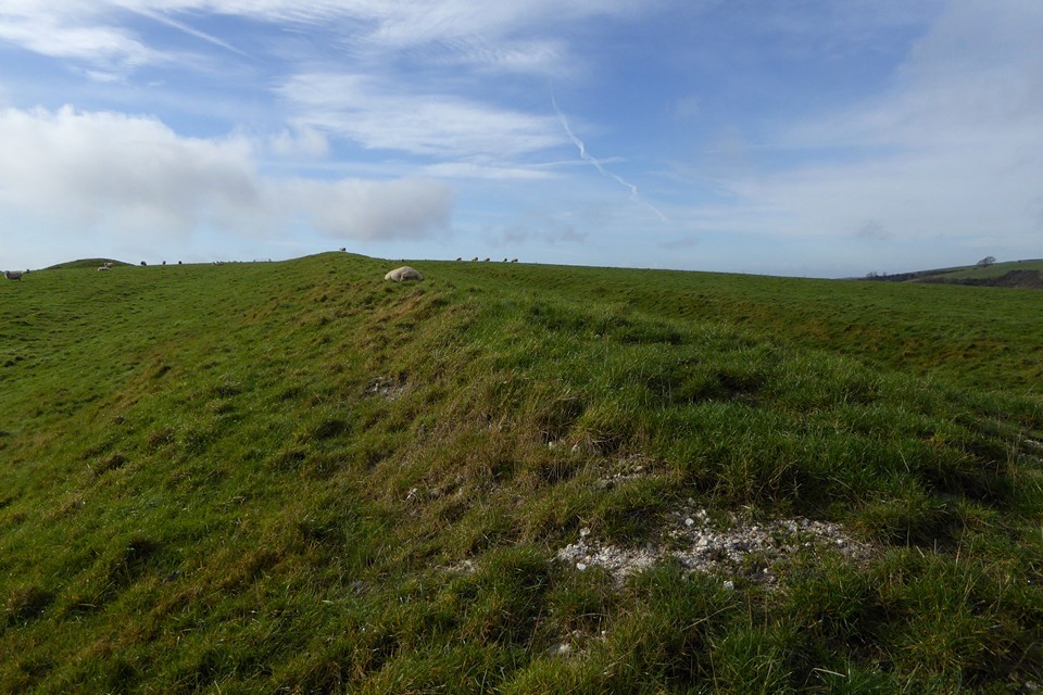
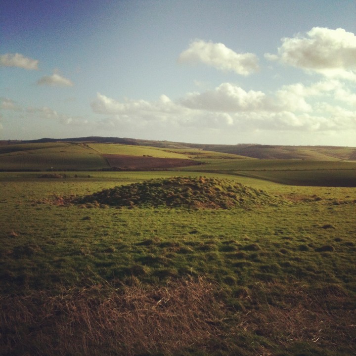
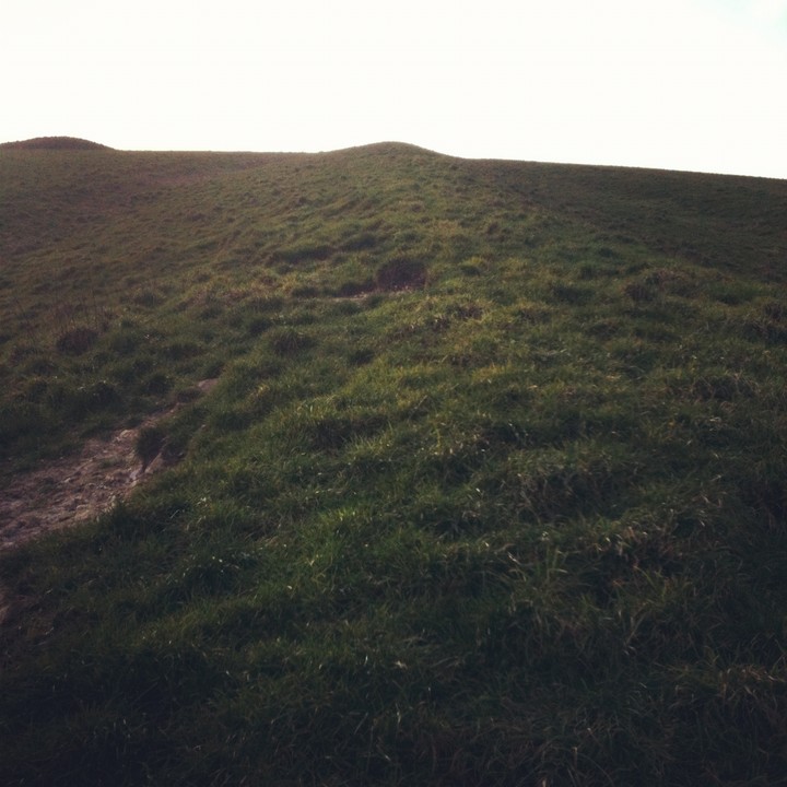
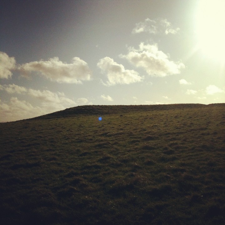
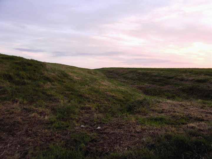
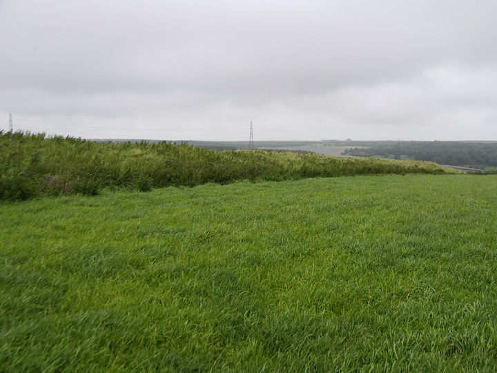
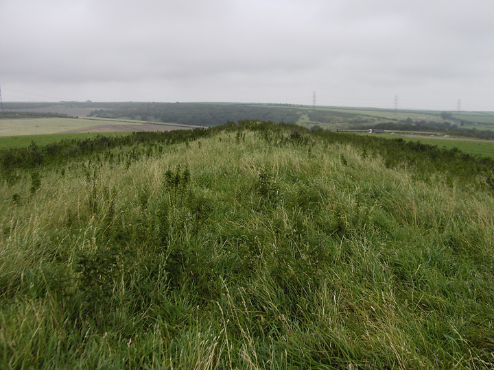
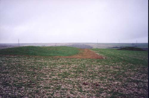
This is huge and as Juamei says it cannot be photographed along it's full length as it runs down the hill. At it's highest points it is about twelve feet high, the gap about a third away from the north end is about six feet in height.
Although the drawing on the O.S. map shows it to be similar in length to the Bincombe bank barrow it is at least a third longer.
Both sides of the barrow, which is orientated roughly north/south has pronounced ditches either side of it. These ditches are up to two feet deep and run along it's entire length.
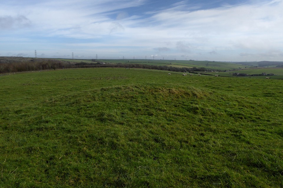
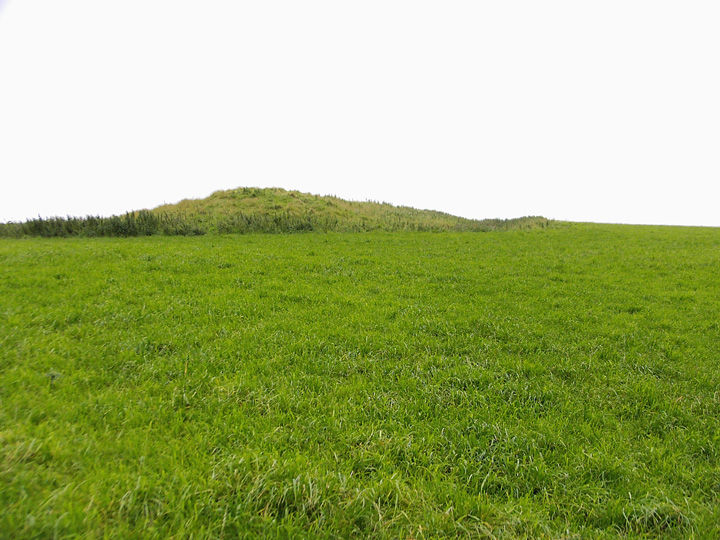
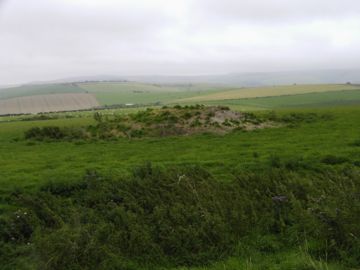
Also within the same field and adjacent to it are three low round barrows and one medium sized bowl barrow which is very close to the bank at it's south eastern end.
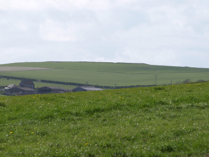
To the north of the site, across the very busy A35 are two large bowl barrows, both of which show signs of past excavation.
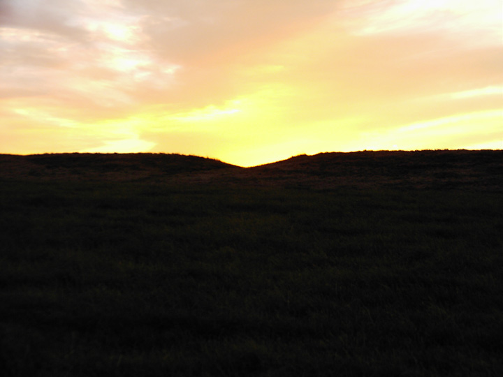
[visited 27/12/02] My first visible bank barrow and what a brute. Its like someone had finished the mound at West Kennet and then added another half length again. The barrow sprawls over the crest of the hill it dominates. The ditches on either side are clearly visible as is the strange gap about a third of the way along its length, about 5 metres across.
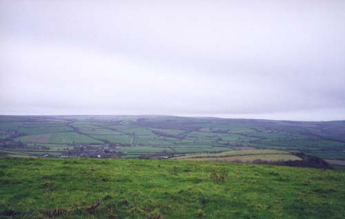
The views to the south are special, Abbotsbury Castle and the hill on which Kingston Russell circle resides are prominent. A short walk to the north side of the bank barrow hill and The Helstone is visible in the valley beyond the A35.

 Posted by formicaant
 Posted by juamei