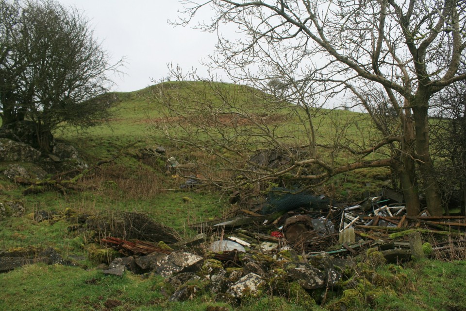
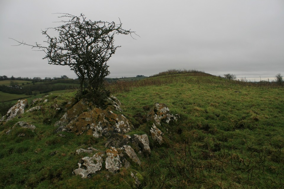
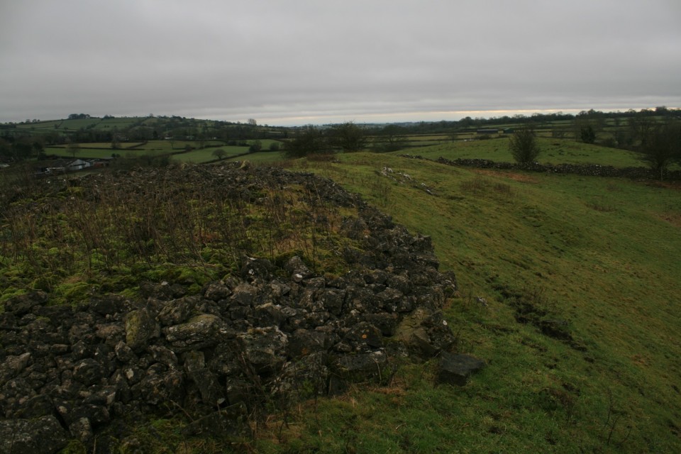
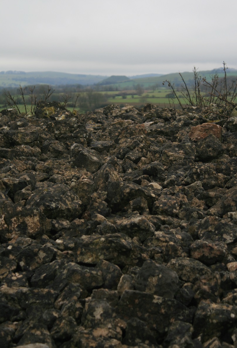
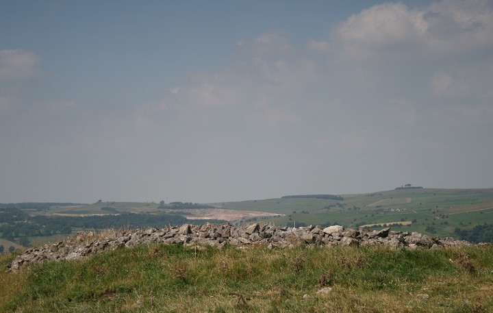
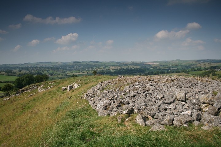
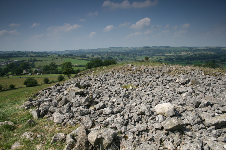
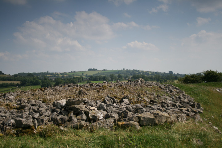
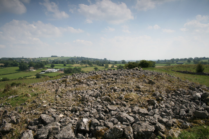
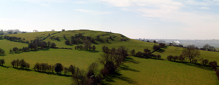
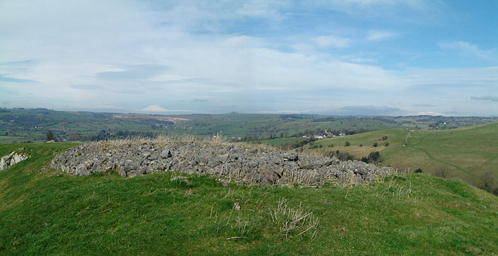
Probably best approached from the south where a road leads to a nice house, but a long walk is needed from the north, can you guess which way I came from? Its still a nice walk with the narrow hill top coming into view as you approach along the footpath. A fence needs to be crossed and it's up the hill. The large low cairn is well defined towards the southern edge of the ridge, the whole of which is situated at one end of a large bowl created by the surrounding hills. It may seem a bit obsessive but iv'e been wanting to come here for at least 2 years , here at last and its a pleasure to behold, and such a gorgeous day too.
The limestone knoll of Wigber Low has a long rich history. Stretching back to the Neolithic where it appears the knoll was used as a camp that saw return visits....
Flint flakes and tools along with several hand axes and parts of others.
The axes found were from three sources; Graig Lwyd in N. Wales, Langdale Pikes Cumbria and Charnwood Forest in Leicestershire.
The next phase saw the construction of an excarnation platform in the Late Neolithic/Early Bronze Age.
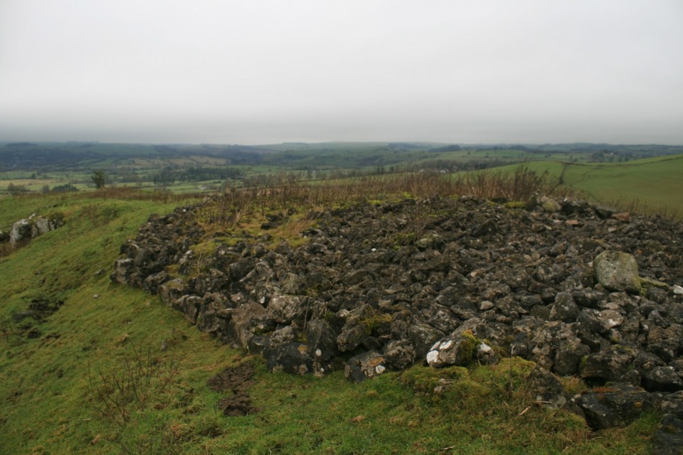
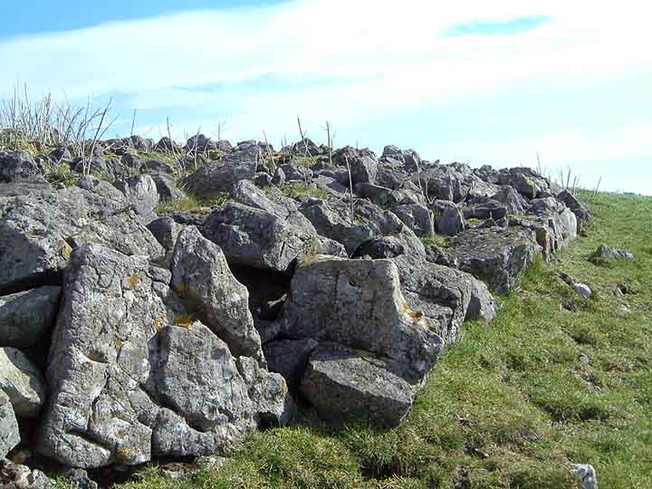
Followed sometime later by the cairn visible today.
Then in the 7th Century, several high status burials were placed within the cairn; spears, knives and brooches accompanying them.
Excellent long range views...the domed hills of Wolfscote, Narrowdale and Gratton clearly visible to the NW.
While the familiar sight of Minninglow Hill and the Green Low ridge occupy the N/NE horizon.


 Posted by postman