|
|

|
|
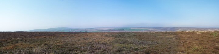
Thimbleby Moor Nine StonesStone Circle
|
|
|
|
Images (click to view fullsize) |
|

|
Fieldnotes |
|
|
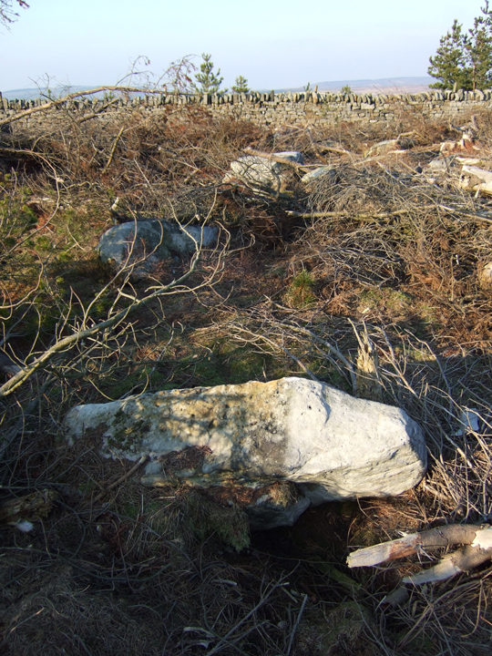
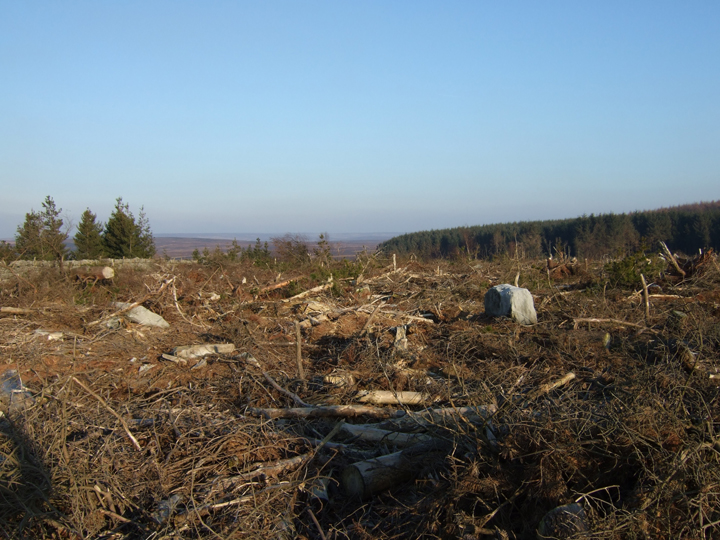
Was there last weekend in beautiful February sun. As robokid points out, a lot of the plantation has been chopped down recently. Consequently the circle is no longer halfway along northern edge of the plantation as it appears on the OS map; it is about 100 yards west of the northwest 'corner' of the plantation. Had a quick look for the Thimbleby Moor carved rock, but its almost impossible with the large number of rocks up there. |
Posted by Moz 17th February 2008ce Edited 17th February 2008ce |
|
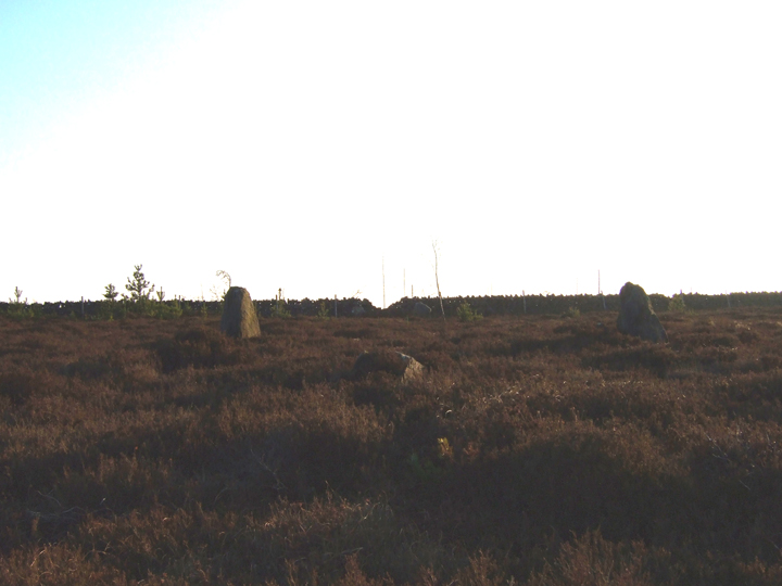
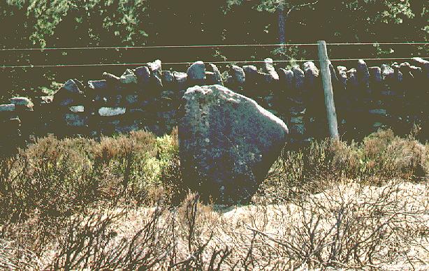
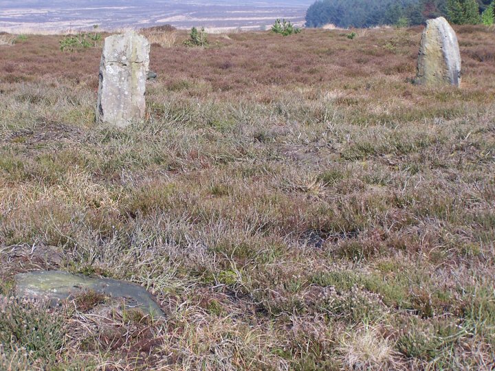
Polly and I trecked along here today. The signs saying it was private looked old and out of use, and there was a much newer sign indicating the right to roam. We scared of several grouse and it seems to be managed land with numerous grouse butts. The only restriction we could see was that there were to be no dogs at all. We made our way along the track and veered of to the left and along the edge of the stone wall that borders the plantation. Much of the plantation is now cut down and has exposed numerous large stones, some looking as if they had once stood upright and some in a distinct circle. The main and obvious ones were on the North side of the wall. Don't get lured into boggy ground full of ponds by stones that you think might be the ones you're looking for. Carry on past a few trees on the North side of the wall and it will become obvious. The first two set relatively close together, with the next pair being a bit further appart. The Northernmost pair have a fallen stone between them. This also lines up with the middle of the Southerly gap by the wall, and another fallen stone between the two. It didn't strike me as a stone circle and finding all stones required stretching my imagination. However, they were definately positioned, though it seemed to me to be as some kind of a gateway. The stones in the plantation were more difficult to work out, though as ive mentioned, there are some that appear to have fallen and seem to form part of a definate circle. Plantation harvesting looks to be the cause of some damage, but not all. On one hand its a shame, but on the other hand, the lack of plantation allows a better view of the stones. |
Posted by robokid 16th February 2008ce |
|
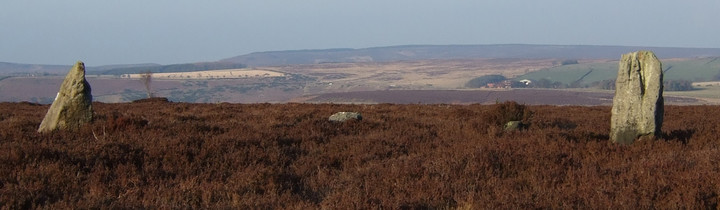
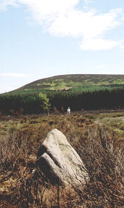
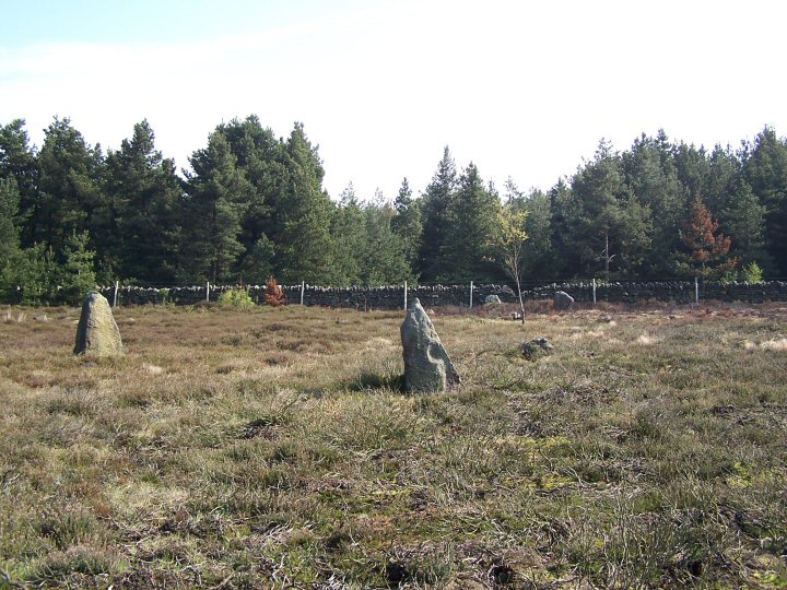
I was up at this site yesterday with Steve Grey. It's a nightmare to interpret. I have searched the books and have only been able to come up with one reference to these stones (see misc). Basically what you have is two pairs of standing stones aligned to the cardinal points. Steve has some very credible theories as to how a circle could have been constructed around these stones and why the other stones have been removed. On further investigation we found a number of large stones, on the other side of the stone wall in the plantation, some of which showed evidence that they had once been upright. The moor itself is a megalithic jumble, there are other stones that have obviously been stood up, one intersting group forms part of a linear earthwork running across the contour at approx SE473955 and is similar in nature to the cross ridge dykes found on other parts of the moors. One thing you can't ignore with this site is it's setting. It is in the shadow of Black Hambleton and close to the prehistoric ridgeway of Hambleton Street and the views across the northern part of the Vale of York to the Pennines beyond. Black Hambleton is a beautiful hill that can be seen from many sites across the moors as well as from the Pennines and the Vale of York. The vibe of this site is very similar to that of the High Bridestones - we know something was going on here but we're not sure what. A possible circle/row in the shadow of an impressive hill close to a major prehistoric trade route. |
 Posted by fitzcoraldo
19th May 2004ce Edited 19th May 2004ce |
|
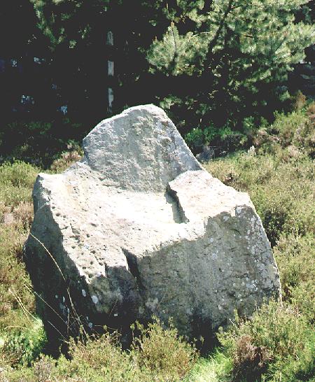
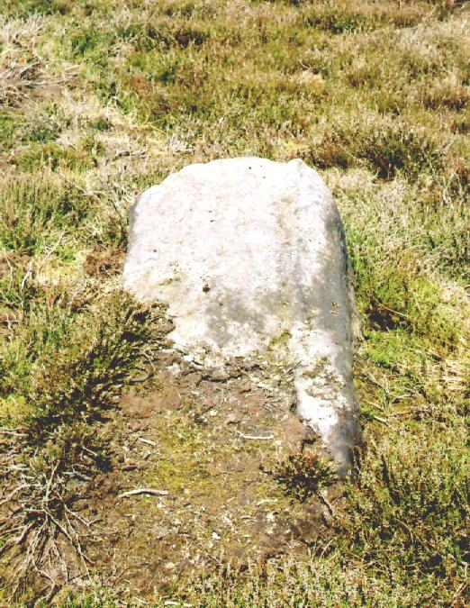
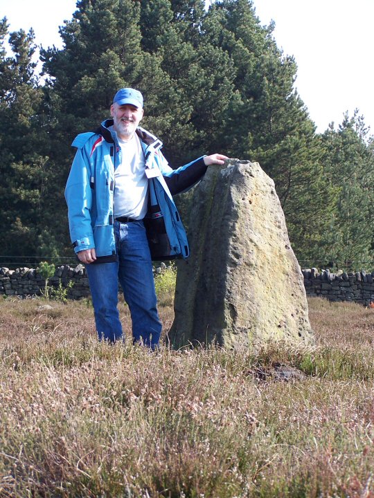
When I saw that there was an entry for Thimbleby Moor I was amazed. I used to manage the estate that owned the moor in the 1980s and I've walked it many times, but never noticed the stone circle. The land is still privately owned, but since there were no photographs on TMA I felt that I ought introduce the moor to my new digital camera regardless. It was a lovely sunny afternoon in May with a haze that slightly veiled the distant hills. From Multimap I could see that the circle was near to the boundary wall with the forestry that runs alongside the moor, so I thought the best way to find the stones was to follow the wall. I plodged through boggy areas thick with sphagnum and reeds and scraped through newly burned heather stalks. Stones of varying sizes are strewn over the moor and at each group I looked around to see if they could be the circle I was looking for. All the time I kept thinking "If I was going to build a stone circle, I wouldn't pick this boggy area, I'd build it up on top of that higher ground ahead". Eventually, I reached the slope and as I came up towards the brow, two very obvious standing stones rose into view. I hurried to the top and saw two more at the southern edge. The larger of the two northerly stones has a cupped top and weathering marks that are reminiscent of the Devil's Arrows at Boroughbridge. I paced out the circle, which was about 35m diameter and then paced out the distance between the two northerly adjacent standing stones at 8.5 paces. I paced out anticlockwise around the circle and at each 8.5 paces there was another half-buried stone, though a few were missing altogether. I estimate that there would originally have been 12 stones forming the circle. The circle has a southerly outlier that's still standing at a rough mid point between the circle stones, but very close to the circle. At the northern side there is another similar outlier, a little further from the circle. It has all but fallen and pokes out of the ground at a very shallow angle. I took lots of photos of which I have posted only a few. The one with me in it was taken on time delay with my camera balanced precariously ontop of the northern outlier with the lens cap propping it up at the correct angle. I posted that picture to give an indication of the size of the largest stone, which was probably around 1.2m. On my way back I chose a different route to avoid the bogs and came across another standing stone at least a couple of hundred metres NE from the main circle. There were lots of other stones around and it was hard to be sure, but I thought there might be the possibility of another smaller circle. There is a field near the edge of the adjacent moor that commands a wonderful view over the valley below and in the middle of the field is a circular wood, grid ref: 447578,496641, marked as "Moor House Plantation" on old-maps.co.uk. It looked as though there may be a mound and a ditch, rather like a small henge. The field is fairly well in view of the farm house and I was running out of time, but I intend to return and ask permission of the farmer to go and inspect the wood more closely. It's a great feeling to be the first to photograph and provide field notes for a site. |
11th May 2004ce Edited 12th May 2004ce |
Miscellaneous |
|
|
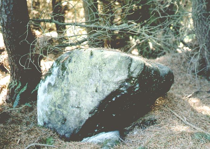
"On Thimbleby Moor, on the edge of the forestry plantation at 471953 are stones called "Nine Stones"; some are within the plantation, the rest outside and in addition there are other boulders which have been thrown up in forestry work; the core of old stones may well have been parts of a circle." From Stanhope White's Standing Stones of the North York Moors. |
Posted by fitzcoraldo 19th May 2004ce |
Links |
|
The Smell of Water - Nine Stones |
Posted by fitzcoraldo 19th April 2018ce |