Just got back from Moretonhampstead and four hours trudging almost friutlessly around a hill-side.
For a start the official map of Datrmoor had an official path marked that wasn't actually there!!! This led to much head-scratching and map-turning and re-treading of steps as we tried to work out exactly where we had parked and where we were in relation to the marked sites.
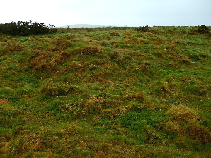
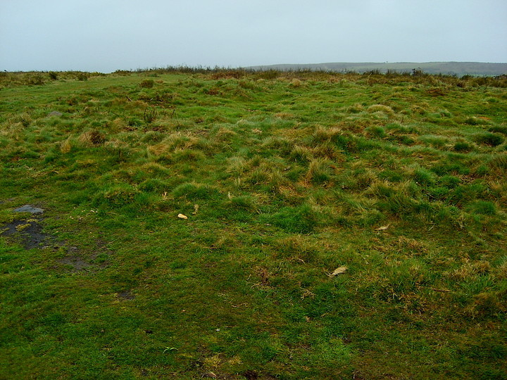
The map suggested the hill-side contained a Stone Circle, a number of Cairns and a Cairn Circle. What with the map and path fiasco and the general gorse and bracken covering it proved pretty difficult to find anything. What we did find suggested that the map was slightly wrong.
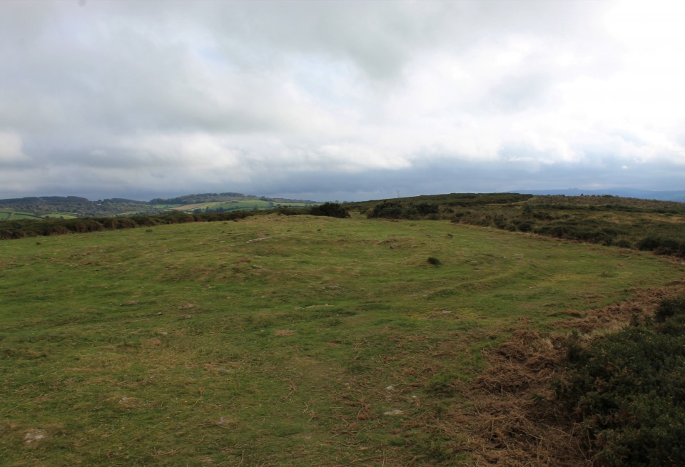
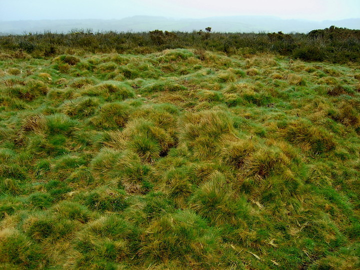
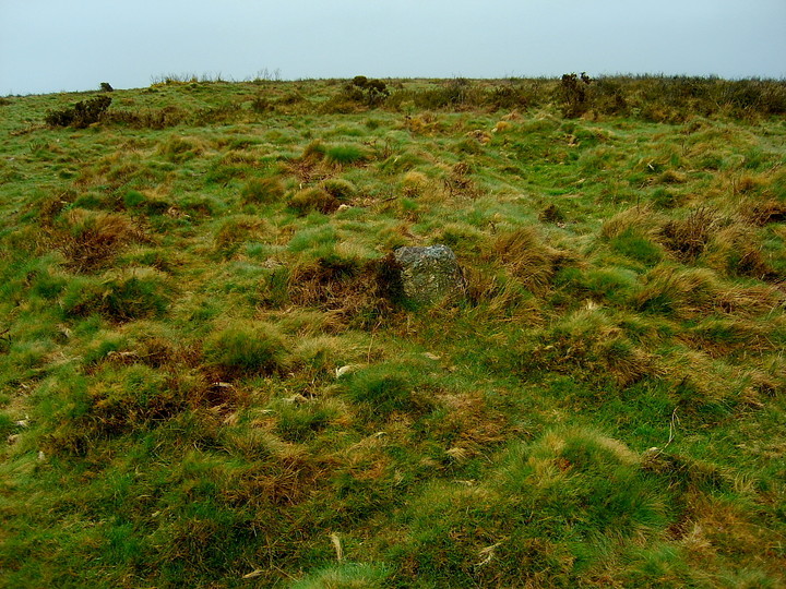
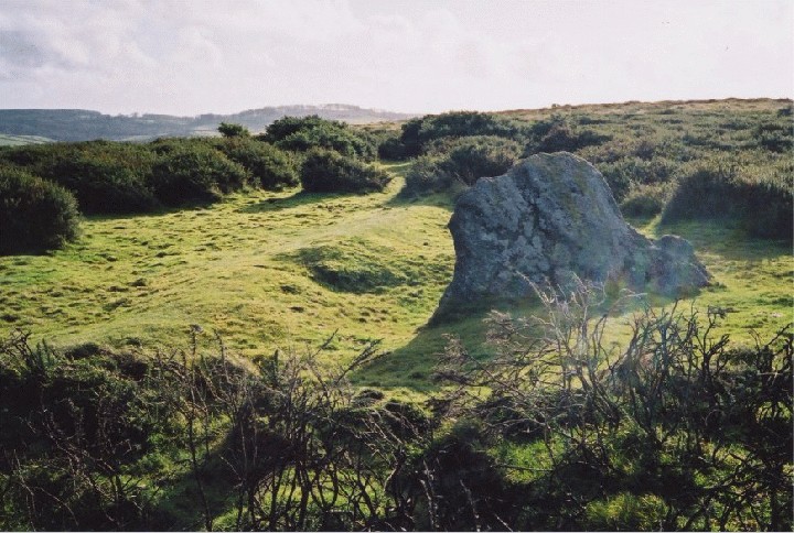
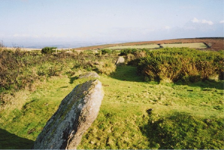
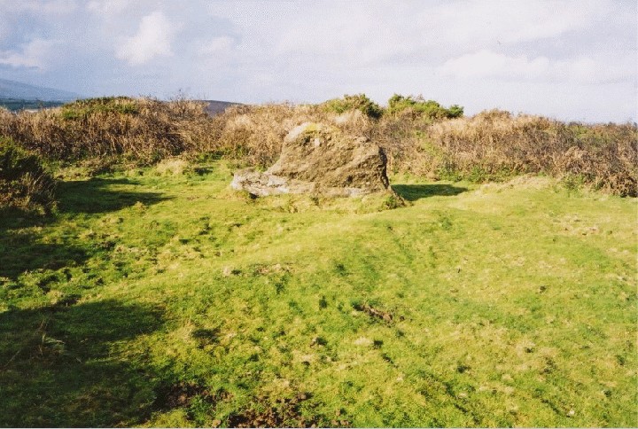
On top of the hill what at first appeared to be a stone circle with it's centre covered in gorse (note, not in the position that the map suggested), on further investigation (to me at least) seemed to be the remains of a long barrow (hence...Giant's Grave. Kerching!) If this was what the Giant's Grave referred to then I'm slightly confused as to why no-one seems to have picked up on this. There was a v.large stone that could have been the blocking stone, one very defined, one partially defined earth bank running back from this stone eventually tapering to a point (not very high but clearly visible) and a number of other stones that could have formed the forecourt. There were also two pronounced ditches in the structure that would suggest chambers. I have taken pictures.
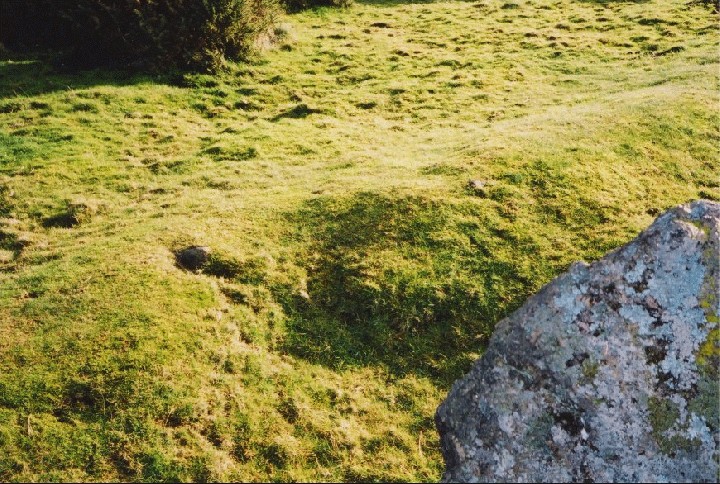
Around this general area were stones that looked like they could once have formed a circle, but this could not be clearly made out because of the gorse. There was also a circular impression in the ground about ten metres in front of the Giant's Grave that looked shaped but had no other features associated with it (looked far too big to be a cairn).
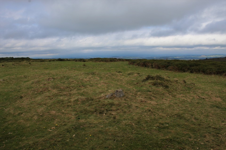
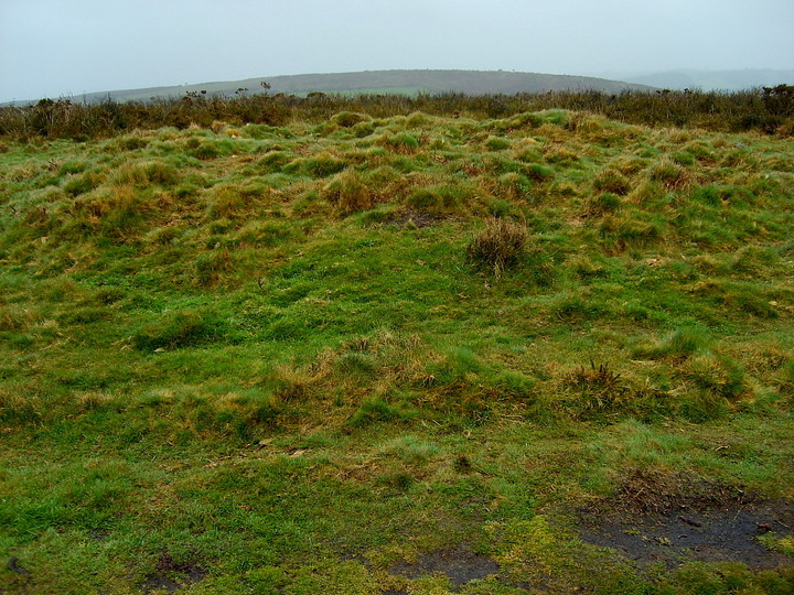
The Stone Circle proved elusive. In the area where the map suggests it sits there is a large scattering of loose stones and it became far too easy to make circles out everywhere. Nothing stood out, but maybe we just missed it, maybe it had gone. There was an interesting feature in the area where the stone circle was supposed to be. It looked like a cairn that had been broken into with stones all around the rim, but the hole in the middle was vast and deep - looked like someone had dynamited it!, or a bomb had hit it.
Ultimately, the day was fruitless. Although I would be interested in a second opinion on the Long-barrow hypothesis. I think next time I go a whole day will need to be spent as this seems to be a much neglected hill on the borders of a much more famous area (oh and the map reading skills need to be improved a great deal!)
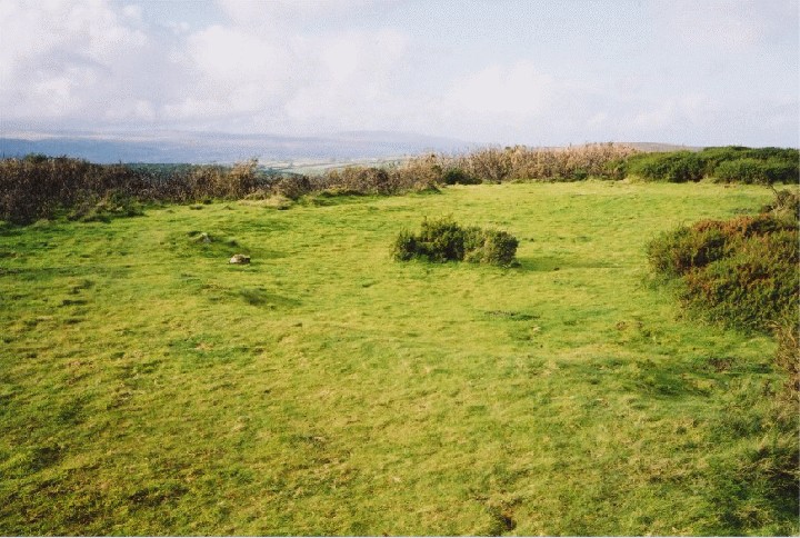
Although the visit was undertaken in the face of severely wet conditions - the extreme weather eventually completely penetrating my old waterproofs - serves me right for not taking the challenge of a small Dartmoor hill seriously and dressing appropriately (muppet) - the lack of surface bracken encountered by Johan meant I am pretty sure 'The Giant's Grave' is actually one of two Bronze Age round barrows to be found north of the large stone circle... according to Pastscape at SX76768744 (ref - Monument number 445366... 'Earthwork remains of Bronze Age cairns'). In short, the latest OS 1:25K map seems accurate enough... no doubt the OS dudes sigh with relief... NOT. I've posted images (on back up digital compact due to the aforementioned horizotal, driving rain!). Johan's images are of the large stone circle.... to be honest, a far bigger prize. Well done that man for blazing the trail back in 2000!


 Posted by GLADMAN