The Modern Antiquarian. Stone Circles, Ancient Sites, Neolithic Monuments, Ancient Monuments, Prehistoric Sites, Megalithic MysteriesThe Modern Antiquarian


Gellybank Stone Row

Stone Row / Alignment

<b>Gellybank Stone Row</b>Posted by nickbrandImage © nickbrand
Also known as:
  • Gellybanks
  • Gillybanks

Nearest Town:Perth (9km SE)
OS Ref (GB):   NO082313 / Sheets: 52, 53
Latitude:56° 27' 53.43" N
Longitude:   3° 29' 24.2" W

Added by scotty


Discussion Topics0 discussions
Start a topic


Show map   (inline Google Map)

Images (click to view fullsize)

Add an image Add an image
<b>Gellybank Stone Row</b>Posted by nickbrand <b>Gellybank Stone Row</b>Posted by nickbrand <b>Gellybank Stone Row</b>Posted by nickbrand <b>Gellybank Stone Row</b>Posted by nickbrand <b>Gellybank Stone Row</b>Posted by nickbrand <b>Gellybank Stone Row</b>Posted by nickbrand <b>Gellybank Stone Row</b>Posted by nickbrand <b>Gellybank Stone Row</b>Posted by scotty

Fieldnotes

Add fieldnotes Add fieldnotes
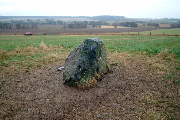
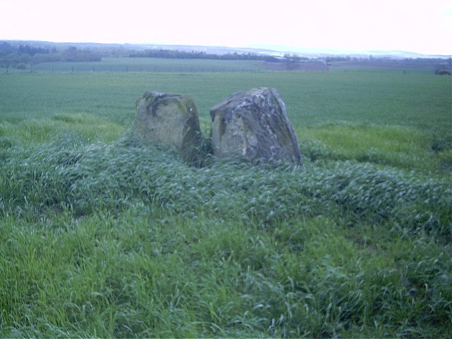
In June 2003 I managed to drive up the track in a Renault 19 without difficulty - but only the very tops of the stones were visible above the waving barley! Didn't feel I could wade through it to get to the stones...but there are plenty more stones in Perth and Kinross! Posted by weirwolf
20th June 2003ce

Visited this yesterday in the pouring rain. The track is definitely only suitable for 4x4, as there's a real risk to sumps on some of the track. Also it was awash in mud...

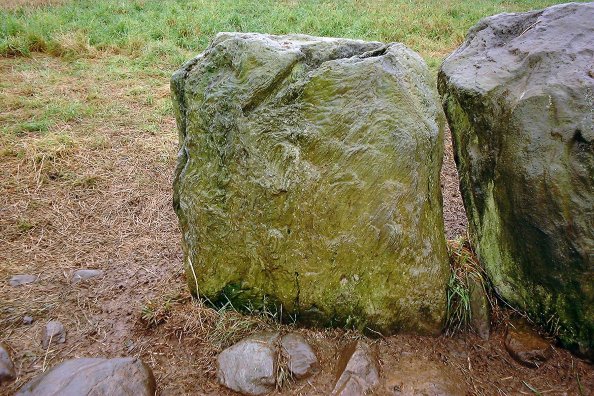
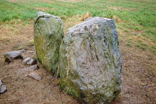
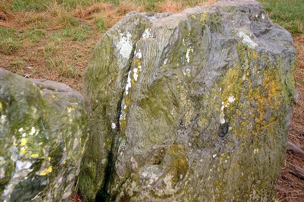
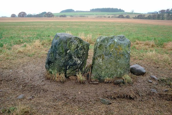
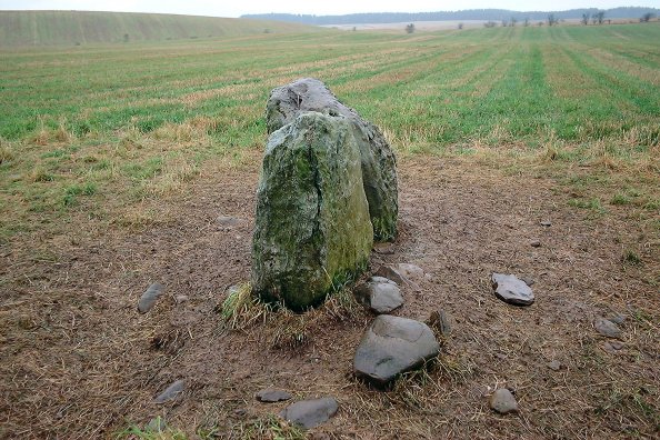
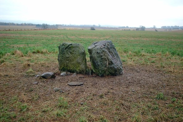
Two stones of quartzose schist, about 8-10 inches apart. In a rough line NE-SW, no markings visible, but nicely patterned rocks.
nickbrand Posted by nickbrand
14th November 2002ce
Edited 14th November 2002ce

Links

Add a link Add a link

Old Maps - Gellybank


View the site on the old OS map.
BigSweetie Posted by BigSweetie
29th December 2003ce
Edited 29th December 2003ce