|
|

|
|
Eyam Moor BarrowCairn(s)
|
||||||||||||||||||||||||
|
|
|
Images (click to view fullsize) |
|

|
Fieldnotes |
|
|
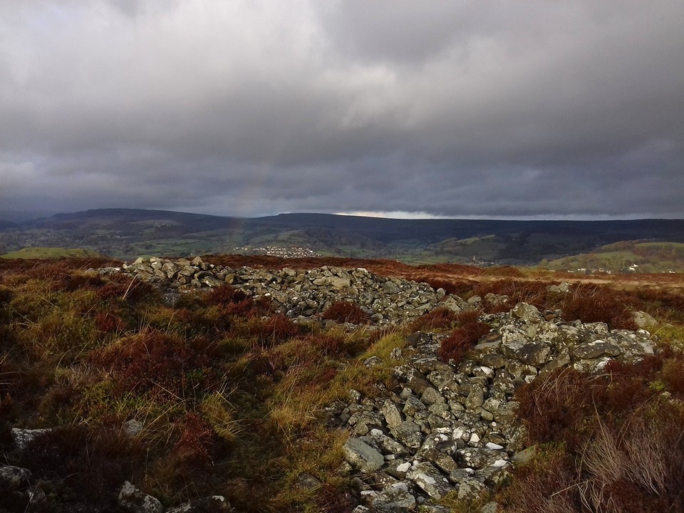
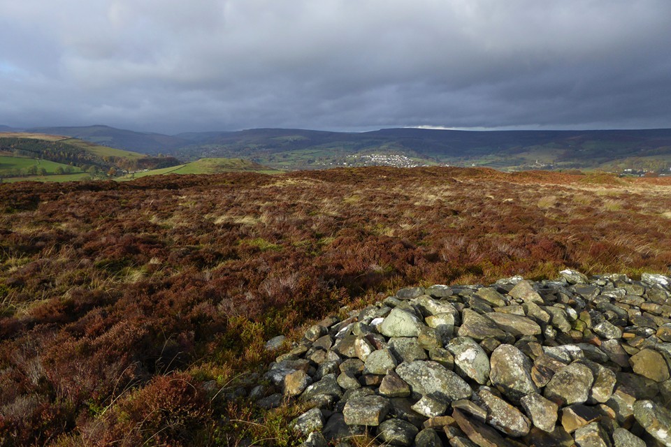
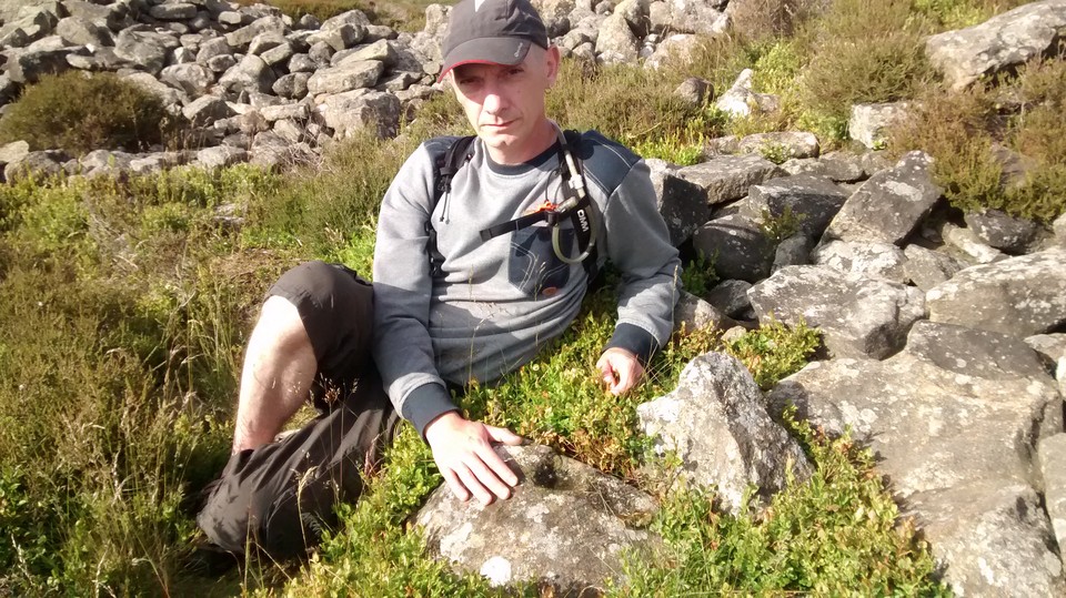
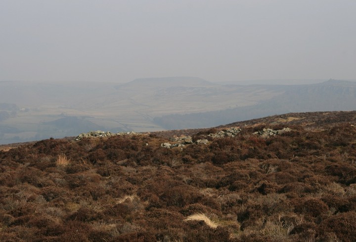
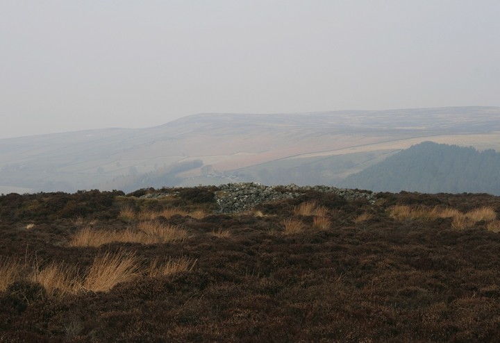
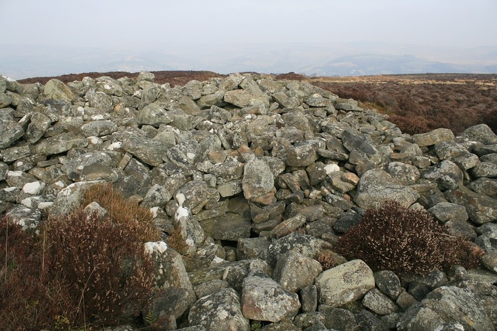
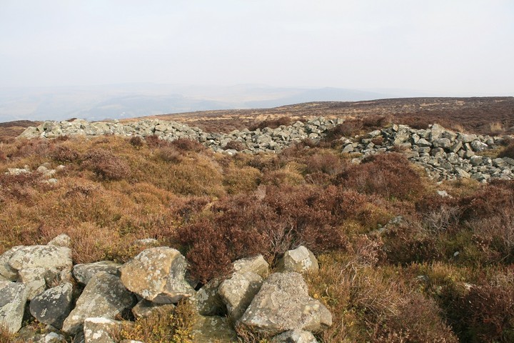
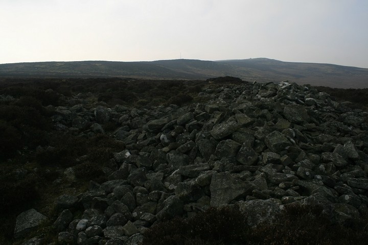
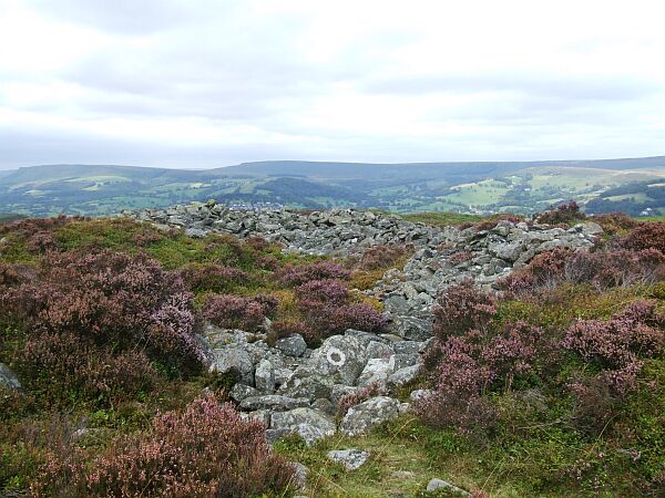
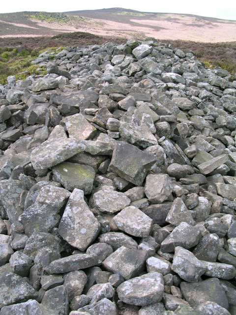
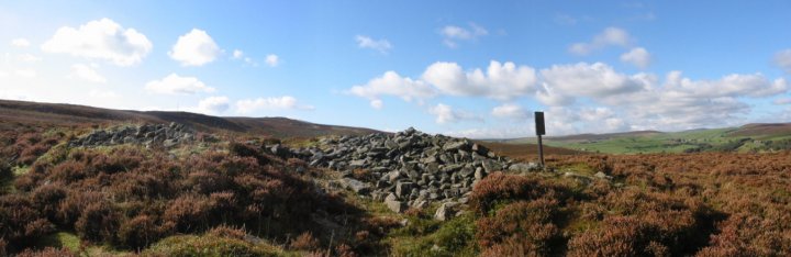
The barrow is a mess, the shape all but gone, straggling and ragged at the edges. But there’s still a lot of stone here, indicating that the upheaval wasn’t about robbing for walls. And the setting is perfect, better than the circle itself as it’s that bit closer to the northern lip of the moor. The countryside drops to a patchwork of green fields in the Derwent valley, with Hathersage the obvious settlement below. Beyond and above, the hills rise again towards the high uplands above Edale, the moors of South Yorkshire and the edges around Higger Tor. Our rainbow makes its last appearance of the day, a welcome splash of colour against the grey. I should have come here years ago, but it’s still a sweet pleasure to come now. This post appears as part of the weblog entry Raving on the Moors Part II – Eyam Moor 10 November 2016
|
 Posted by thesweetcheat
27th November 2016ce Edited 27th November 2016ce |
|
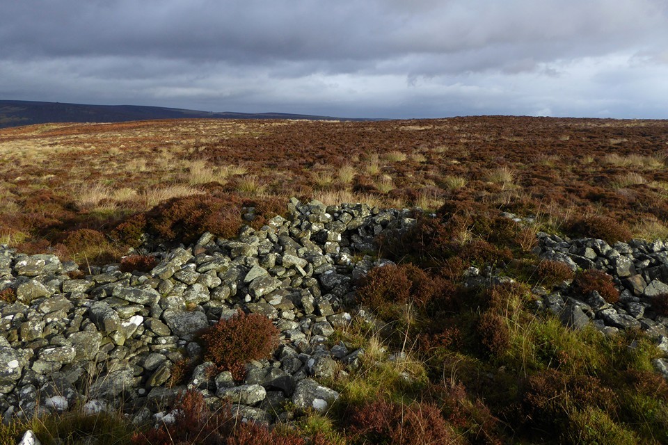
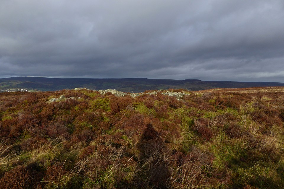
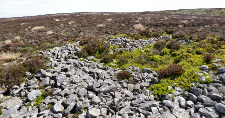
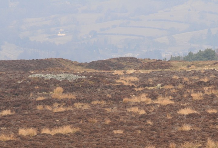
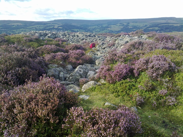
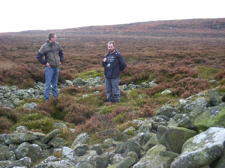
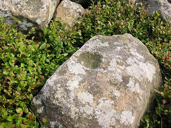
Arses. This is not easy to find !!! Coming from the south, where the two paths diverge, I take the right hand path. All the way to a mostly fallen wall with two large gate post stones. Turn left from these stones and head exactly west, this should take you straight to the cairn. Unless like me you keep getting side tracked by the many small cairn like things. Eventually I arrive at the cairn, it is situated on flat ground right next to where the heather covered earth falls quickly away to Hathersage just over a mile away. The heather is all consuming, stray from the path and your in a world of hurt. Barrow or cairn ? i'll go for cairn, for only a cairn can have cairn material, of which there is much. But its a seriously mangled cairn, difficult to determine it's exact shape because of the dreaded heather (there is no such thing as lucky heather) and all the pits and hollows in the middle of the cairn. Hiding among its interior is a cup marked stone, couldn't find it though. Superb vistas north to many hills with various names of which I am mostly ignorant. But it is difficult to remain at the cairn for too long as the Wet Withens stone circle is just a few yards away. And just over the hill away is Stanage ring cairn with its terrifically cup marked stone, but getting there can be a bit of an arse. Start and finish with an arse, yeaaah ! |
 Posted by postman
6th March 2013ce Edited 6th March 2013ce |
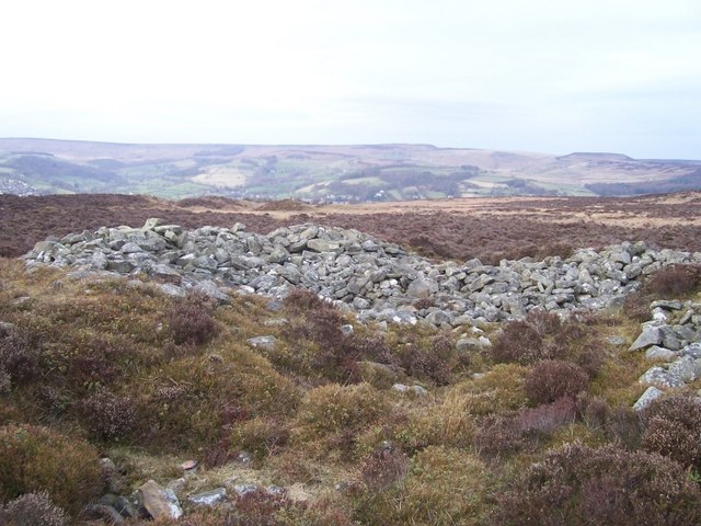
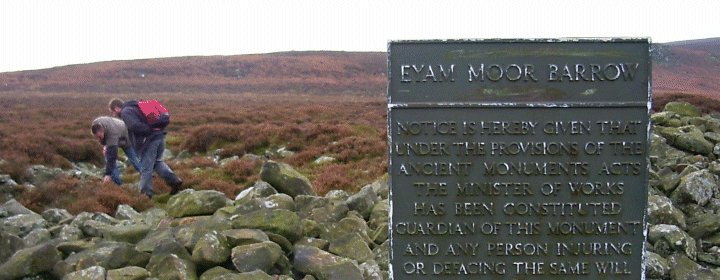
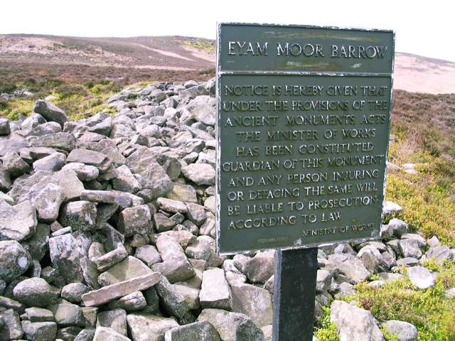
| Visited in September 2007 and Ministry of Works sign had been removed so can't be used as a waymarker to find the cairn and nearby Wet Withens. The cairn itself has been bashed about and it's difficult to figure out what it was meant to be. There is a suggestion that it may originally have been a pair of cairns that were either joined in antiquity or by more recent excavation/quarrying while another idea is that it could have been a long cairn. It measures about 28 metres by 18 metres. |
 Posted by Chris Collyer
22nd August 2008ce Edited 22nd August 2008ce |
|
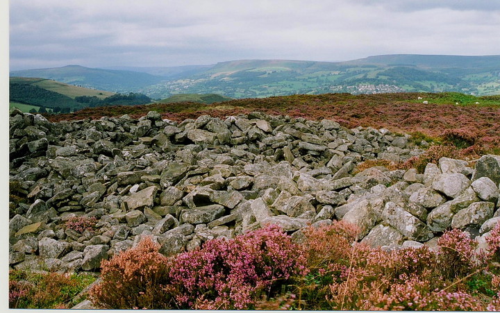
Now reduced to little more than a big pile of scraggy rocks with a dip in the middle, the only clue to what-it-once-was is the big fuck-off Ministry of Works (who are they exactly?) rusty sign, erected rudely at its periphery. Despite its appalling condition, the cairn is impressive right on the edge of a ridge and with Wet Withens just metres away. This post appears as part of the weblog entry Six of the best with a wounded knee
|
 Posted by Jane
19th November 2003ce Edited 19th November 2003ce |
| This looks kind of bizarre to me, without the sign and a mind to look for this kind of thing you would believe that it was a few hundred miles of future stone wall. I wonder what is beneath it as it is very large |
 Posted by daveyravey
8th August 2003ce |
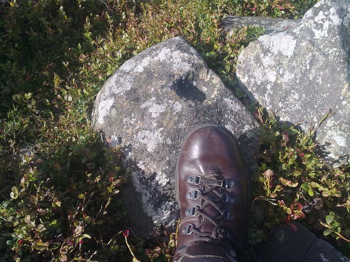
| Near the centre of the barrow is a well defined cup mark on a stone block. The stone is just out of the loose rocks of the cairn close to what could be the remains of a cist. |
7th August 2003ce |
| Judging by what's left the barrow it must have been quite large at sometime. The barrow has a metal sign stuck into it, nasty as it is, it's about the only thing on the moor to direct you to the Wet Withens circle which is close by it. |
28th October 2002ce Edited 14th May 2003ce |