|
|

|
|
Great Skirtful of StonesCairn(s)
|
|
|
|
Images (click to view fullsize) |
|
|
Fieldnotes |
|
|
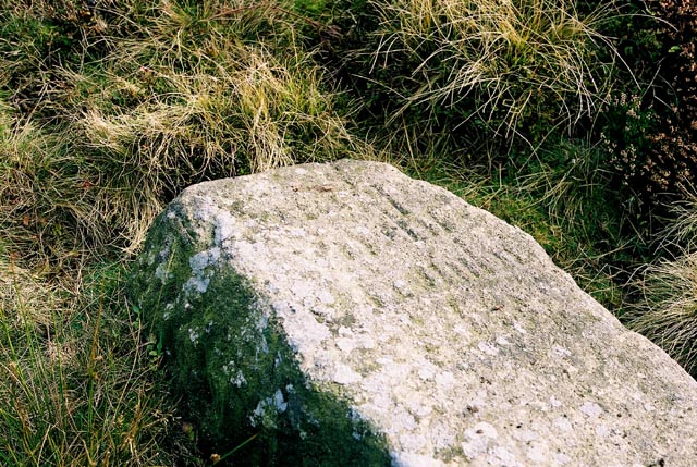
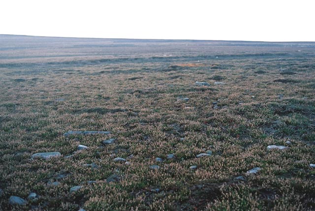
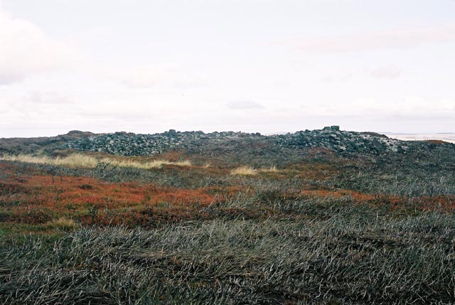
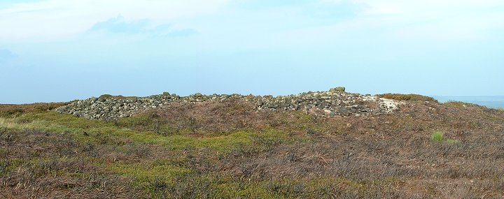
A huge cairn on Burley Moor that has been badly damaged by digging. The crater in the middle still houses the (now recumbent) standing stone erected by Walter Hawksworth for his masonic moots in the 14thC bearing the inscription 'This is Rumbles Lawe'. Nearby, there appears to be traces of a causeway and a large area of evenly scattered stones, There is also said to be the remains of a stone circle here too. |
6th November 2003ce Edited 7th November 2003ce |
| According to Paul Bennett the inscription reads, "This is Rumbles Law" and was erected by William Hawksworth in the 14/15th C. He originally erected it at the Grubstones which was used as a moot by local masons, but was ordered to remove it to his own land. The Great Skirtful was just inside his boundary. |
16th October 2003ce |
|
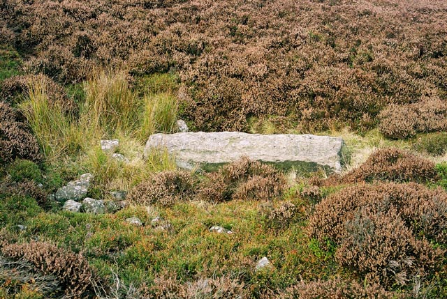
This is a badly damaged cairn that has been heavily dug into and now has various bits of rubbish dumped into it There is a large stone that could be a boundary marker or milestone (I couldn’t read the inscription) that has been pitched into the middle of it and it also has what could be grouse buts built on one side although these could just be rocks thrown out from the inside. Just to the southeast there is another smaller but just as badly robbed cairn. Directions are similar to those for the Grubstones – head in a southerly direction across the moor from the Cow and Calf carpark until you see a shed on a hillside ahead. When you get to this turn left along the track and walk for about 5 minutes or so until you pass the Lower Lanshaw damn on your left. The cairn should now be on your right hand side, not far from the track. GPS - SE1406244550 |
 Posted by Chris Collyer
10th October 2002ce |