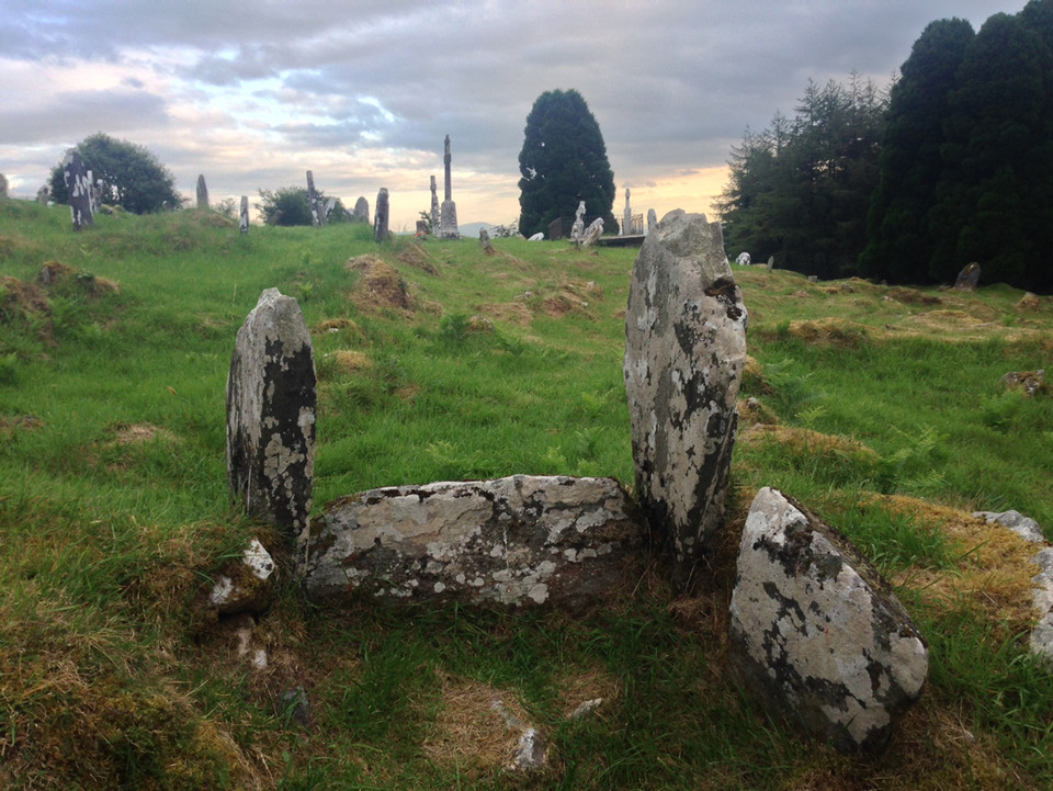
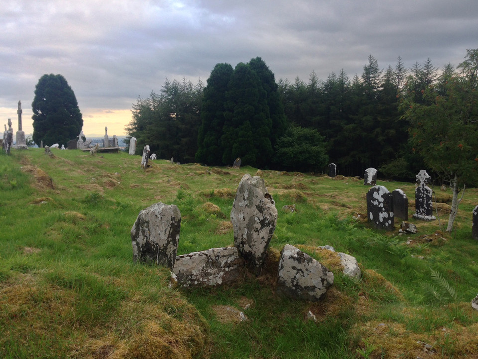
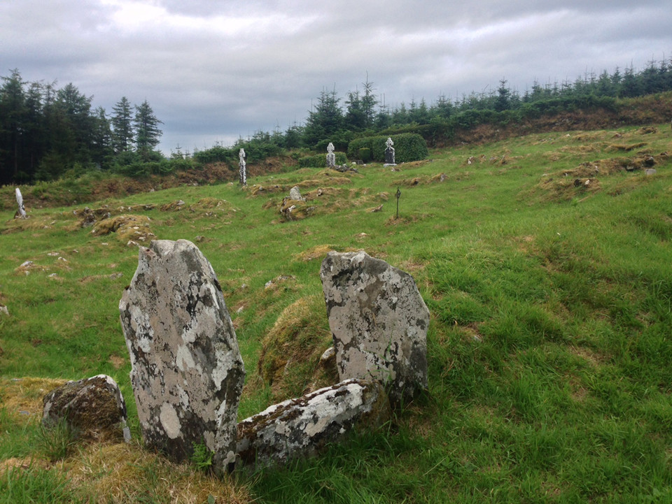
Kilranelagh Graveyard, in the wilds of Wicklow, has lots of ancient structures, not all prehistoric, but still ancient. They're continuing to bury people here, and after what must have been centuries of neglect, the place is very well looked after and obviously well loved by its carers.
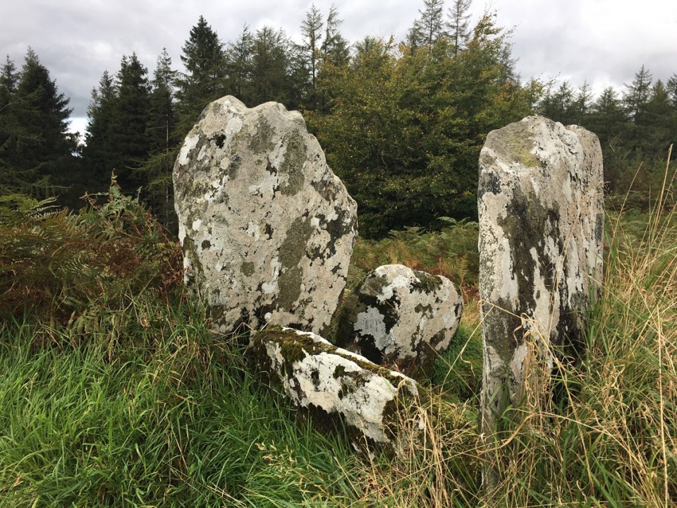
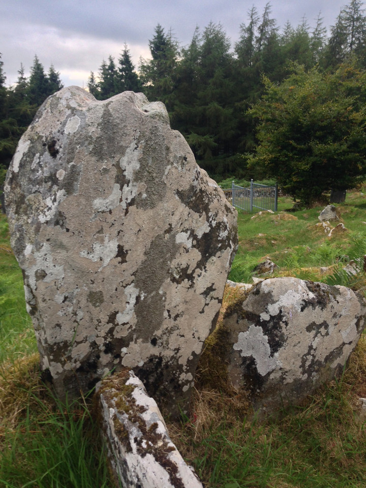
The stones that we are interested in are very neolithic looking, like the entrance portals and sillstone of a small passage grave, its last remnants, the rest now long gone. Yet these remain, and you're supposed to pass the coffin between them before burial.
Nearby, within the graveyard, is a holy well, St. Brigid's of course. Out the gate to the south, the setting sun bathes Mount Leinster and the Blackstairs in an orange glow. Leaving I came across two graves, one with a very rough-hewn stone with no inscription but with a small toy gun and 2 toy motorbikes, the other, the last resting place of Clive Mervyn Wynne, died 2nd April, 1976, age 6 weeks. This is a place of power and peace and of sadness.

 Posted by ryaner