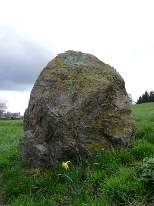
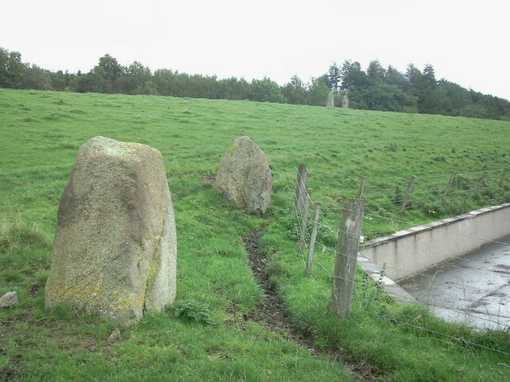
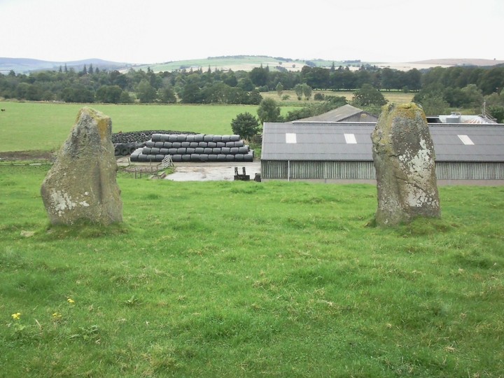
As you turn off the road up the track to Whitehaugh House and the farm, the stones are up a slope on your left. There's a big cattle shed at the bottom of the slope that's so new it's not on the OS map. We parked in the concrete yard at the front, beside the offices of the cattle shed. The farmer was very friendly and pointed out the two small stones just the other side of the fence from the yard. These were erected for the hell of it after being dug up during the construction of the shed. The farmer said they were half-expecting a preservation order to be put on the new stones! The digging of the foundations had also uncovered remains of large fires, about a foot below present ground level.
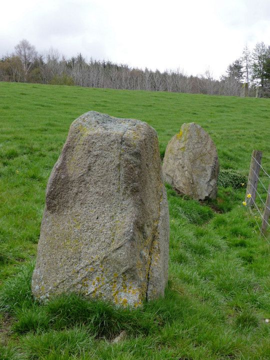
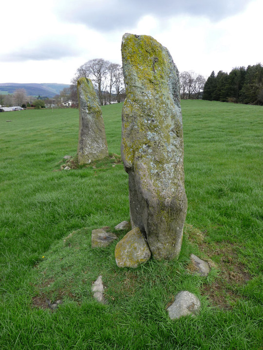
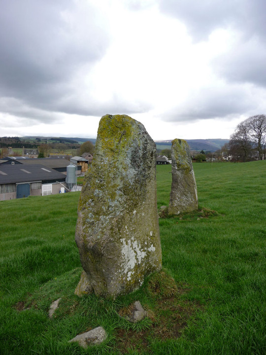
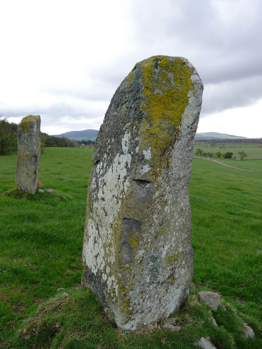
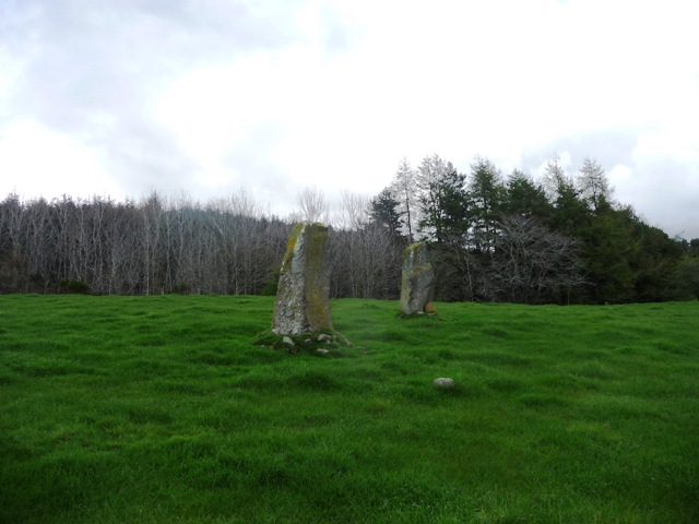
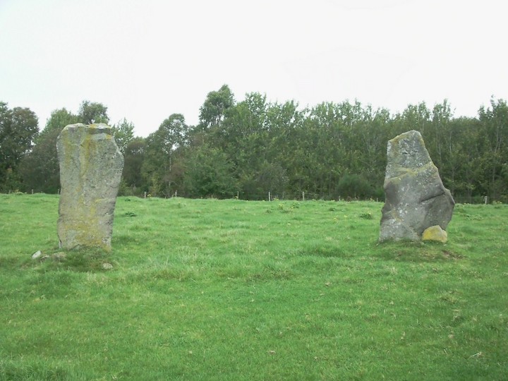
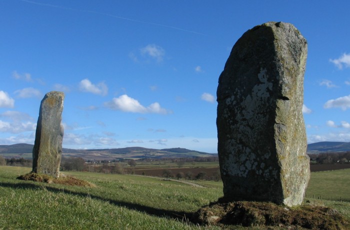
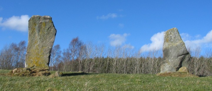
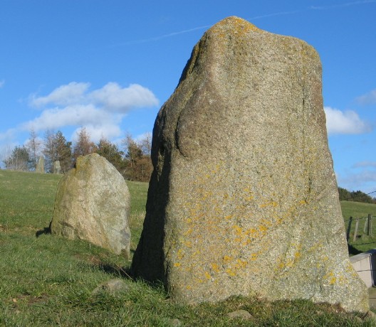
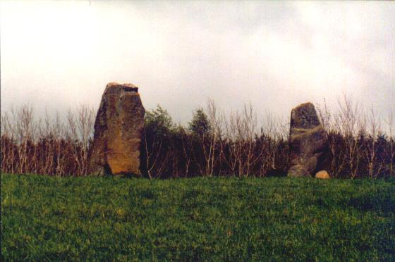
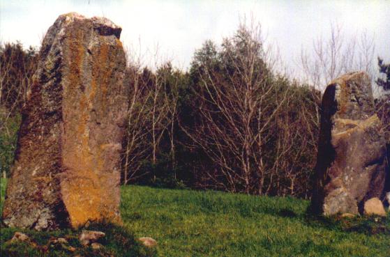
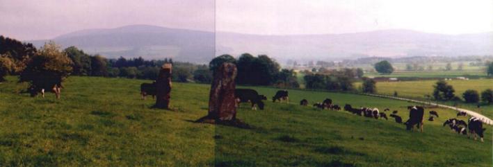
Up in the field, the two real standing stones are Batman-ear shaped like flankers. However, they face south and are not in line with each other, so it's generally thought that they don't stand in their original position. The view south-west is towards Laggadlie Hill, with, I think, Scar Hill poking up beyond topped with a distinctive transmitter acting as a modern day Dunnideer/Glastonbury Tor tower, and the peak of Craiglea as a sister to the right, with a flat south-western horizon running between. To the east is Mither Tap. Friendly heifers are now so close behind me that I can hear them breathing.
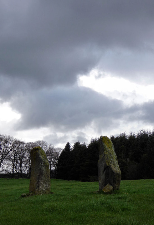
The farmer and friends had a Millennium Eve party by the standing stones and the circle of their fire is still scorched earth a full six months later. Let this remind people who light fires at sites - indeed, anywhere - of how much damage it does to the earth. Seemingly (if the present position of the stones is thought to be more or less the original) this is another crest-of-hill circle.
A hundred metres along the hill to the east is an area of semi-buried large granite boulders. Nothing large enough to be a megalith, and in a straight line like a wall then widely scattered, so no clear pattern but certainly not ancient. From down on the track this looked like an area of embedded toppled stones a la Balgorkar, but I'm now in it and it's obviously field clearance rubble.