|
|

|
|
Cronkston LowRound Barrow(s)
|
||||||||||||||||||||||||
|
|
|
Images (click to view fullsize) |
|
|
Fieldnotes |
|
|
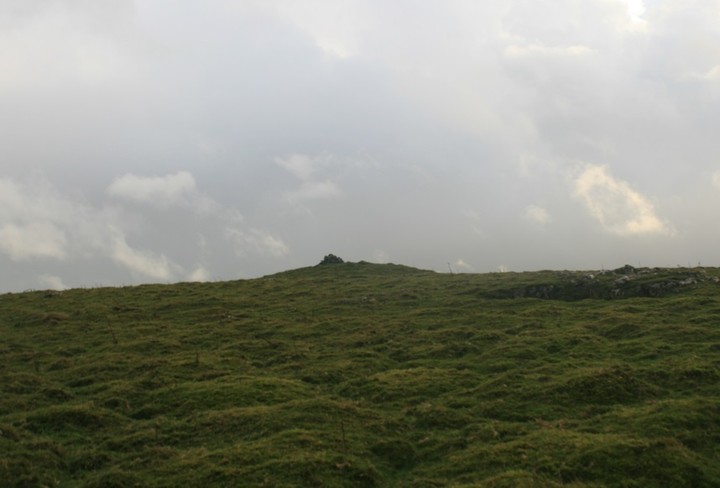
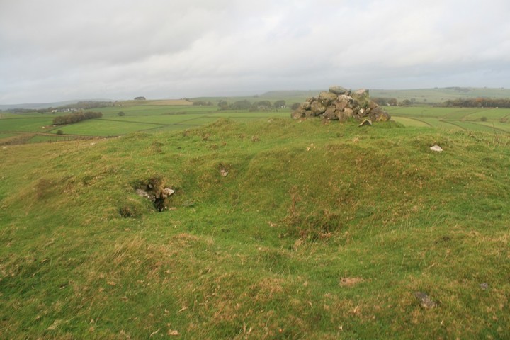
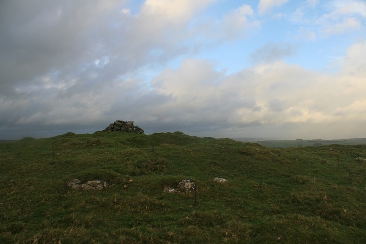
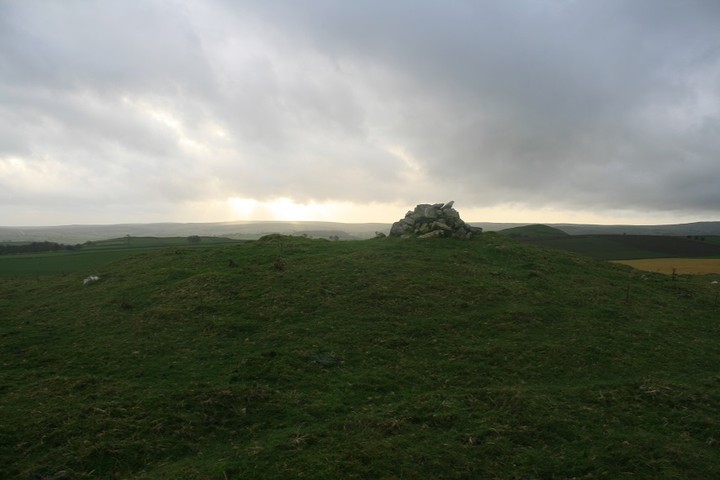
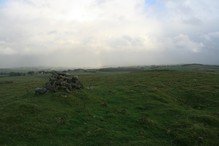
Best approached from the north, in between two farms a footpath leads most of the way to this fairly decent barrow. The hill has walls separating the barrow from the road, but there are stiles, at no point did we feel like trespassers, five minutes from car to bump. This is by far the best barrow we saw today, then again the one before this turned out to be Anglo Saxon and the one before that cows barred our way, and the one before that was very low. As if to signal our success a partial rainbow sprung out of the ground to our south, pretty. The barrow is maybe a meter high and has two depressions dug into it, a walkers cairn has been constructed on it's oh so lofty summit. It even has what looks like kerbing in places around the cairn, and almost inevitably, for the area, it has a good view of High Wheeldon. It was very windy and beginning to rain again so we scarpered back down the hill to go take in one more barrow before we must go home. |
 Posted by postman
30th October 2013ce Edited 30th October 2013ce |
|
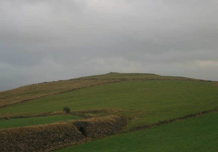
Near Longnor. A long angular earthwork and barrow, the barrow is around 12x10m and about 1.5m high, with good sections of limestone kerbing. The angular earthwork, shown on the O.S map, and thought by Bateman to be related to the barrow; as either protection or a running/chariot track for Bronze Age folk.....is in fact part of the medieval earthworks that surrounded the 'Grange' of Cronkston and Hurdlow Town. |
5th September 2002ce Edited 4th January 2004ce |
Miscellaneous |
|
|
Both the Batemans excavated here, William in 1825 and then his son Thomas in 1849. Two crouched burials were recorded, one in a cist the other a rock cut grave. Among the other finds a human cremation and flint artefacts. info: J.Barnatt's & J. Collis' "Barrow Corpus" B.Marsden 'The Burial Mounds of Derbys' |
13th February 2005ce Edited 23rd March 2005ce |