|
|

|
|
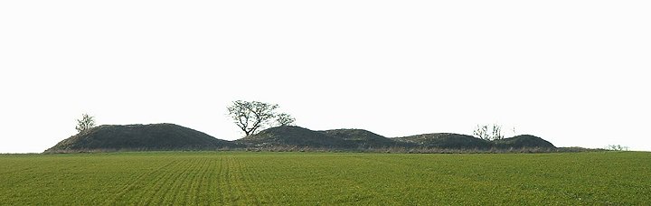
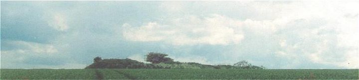
Spellow HillsLong Barrow
|
||||||||||||||||||||||||
|
|
|
Images (click to view fullsize) |
|

|
Fieldnotes |
|
| There is no access to this badly dug into barrow, but it can be seen across the fields on the left of the A16 from Partney to the circle at Ulceby cross. It is some distance away though and is difficult to spot if there is a crop in the field! |
 Posted by Chris Collyer
14th May 2002ce |
Folklore |
|
|
Grinsell says that Spellow Hills were originally 'Spellhou' - incorporating a word for hill, so now it's a bit of a double name. The barrow (looking as it does like several barrows) was known as the 'Hills of the Slain' and it was said 'bones and armour were found' inside 'many years ago'. The barrow was also regarded as a place where plague victims had been buried, or the dead soldiers from a mythical 'Battle of Partney' (Partney being a nearby village). ('Ancient Burial Mounds of England', 1936) |
 Posted by Rhiannon
21st July 2005ce |
Miscellaneous |
|
| After a little research I found out that due to the damage to the mound, Stukeley believed this site was a row of round barrows! |
Posted by Chris Collyer 14th May 2002ce |