In a field on Sawcliff Farm, in the parish of Roxby-cum-Kisby, North Lincolnshire, there is a deposit of uncommon character and singular beauty. It is particularly interesting to the lover of natural objects. Locally it is known as the "Sunken Church." An ancient tradition informs us that it was a church attached to one of the monasteries, and was buried by a landslip; or according to Abraham de la Pryme, the Yorkshire antiquary, who visited it in 1696 (Surtees Society, vol. liv.), the tradition is that the church sunk in the ground, with all the people in it, in the times of Popery.
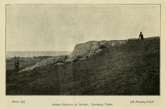
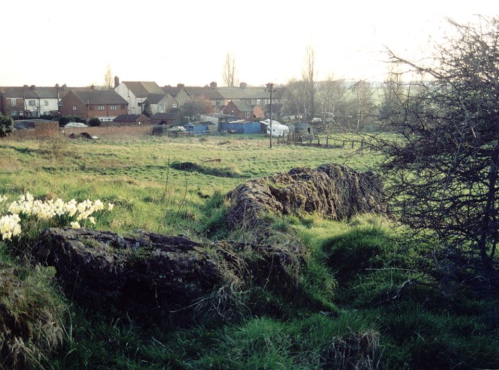
[...] The stone curtain [..] consists of a mass of calcareous tufa deposited by a petrifying spring trickling out of the limestone rocks, as seen in the second illustration. It is a wall-like mass, some ninety feet or more in length, having a varying thickness from fifteen inches to two feet at the top, and a height above ground of nine feet at its highest point. From the higher end where it first leaves the ordinary slope of the hill, there is a gentle fall along the ridge until, about half-way down, a big step of about four feet occurs. Then the ridge continues to descend, until at the lower end it almost comes to the level of the ground again.
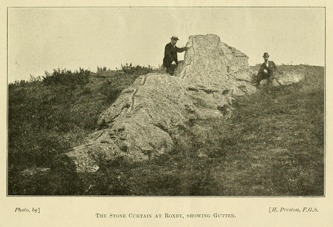
Undoubtedly the most striking feature about it is a groove two inches wide and one and a quarter inches deep, which runs along the ridge from end to end, and also continues down the step above mentioned. This groove is well shown in the first illustration.
The groove looks quite strange. I'm glad this curious bit of the landscape has survived in an area that's so full of quarries and mines. It's slightly remiss that dragons aren't mentioned at all in the article. But the idea of the 'sunken church' is one found elsewhere in stoney folklore (e.g. Sunkenkirk). The photos and exerpt are from an article in Science Gossip, v7 (1901) by Henry Preston.
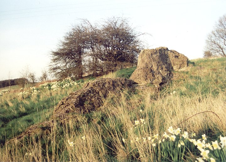
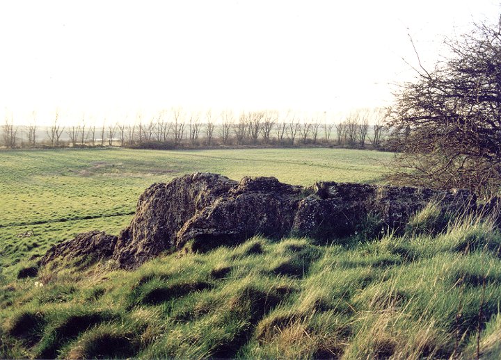
Dragonby is a small village to the North of Scunthorpe just off the A1077 to Winterton. About half way down the only road through the village there is a gap in the houses on the right hand side - a track leads out onto some open ground and you will see the dragon on your right winding its way up the hill.
It is a natural rock formation caused by a limestone spring but local legend says it is the body of a dragon that was turned to stone by a wizard. Another story claims that it is the top of a church that sank into the earth with the congregation still inside and that once a year the ghostly bells can still be heard ringing.
The village name Dragonby is only fairly recent, it was changed by local land owners, the Elwes family, from Conesby Cliff in honour of the dragon!

 Posted by Rhiannon
 Posted by Chris Collyer