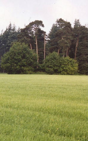
Out for a walk on Mother's Day we were a potentially short dash across a seedlinged field away from this round barrow. The footpath we were on isn't marked as a public one, but the plantation it skirts is the Longleat Estate, and people seem to walk about pretty freely there. The barrow is crowned by a selection of well-grown trees and shrubs: it looked a shady haven in the bright sunshine, a kind of island in the middle of the flat field. Curiously next to the footpath was a sofa and two armchairs pointing in the barrow's direction. I wondered if there would be a fitted kitchen or a bathroom suite round the next corner. Mr Rh (a local lad) said he had heard 'from several people' that it was called Hangman's Copse but only had a very vague story about it being haunted by a swinging corpse. Maybe the name's even 'Hanged Man's Copse'. I'd be interested if anyone knows any more.
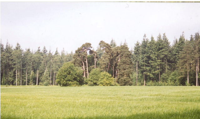
The site probably doesn't look like much but I liked it; it looked like a friendly oasis, not a spooky place. If you could cut down the plantation you could probably see Cley Hill easily, and the hillforts of Battlesbury and Scratchbury are probably in view in any case.
(The next week we passed it in the car, and Mr Rh's brother said, quite unprompted, that he wanted to live "on that island". For a round barrow in a field with trees sprouting out its top it's really quite nice).
The marvellous 'MAGIC' (http://www.magic.gov.uk) map site has this further information:
The monument includes a bowl barrow set on the crest of a gentle east-facing slope above the valley of the River Wylye. The barrow mound is 30m in diameter and stands 4.2m high. A central depression 1.7m deep may represent early exploration of the barrow mound, probably in the 19th century. Although no longer visible at ground level a ditch, from which material was quarried during construction of the monument, surrounds the mound. This has become infilled over the years but survives as a buried feature c.3m wide.

 Posted by Rhiannon