The Modern Antiquarian
Log in
|
Register
Home
Latest Posts
Forums
Maps
Help
Browse Sites
News
Blog
Contributors
The Books
Select
-
Belgium
Denmark
Eire
France
Germany
Greece
Italy
The Netherlands
Norway
Portugal
Republic of Malta
Spain
Sweden
Switzerland
United Kingdom
England
Southern England
Hampshire
Yew Tree Heath
Barrow / Cairn Cemetery
Yew Tree Heath (Barrow / Cairn Cemetery) on The Modern Antiquarian, the UK & Ireland's most popular megalithic community website. 1 image, plus information on many more ancient sites nearby and across the UK & Ireland.
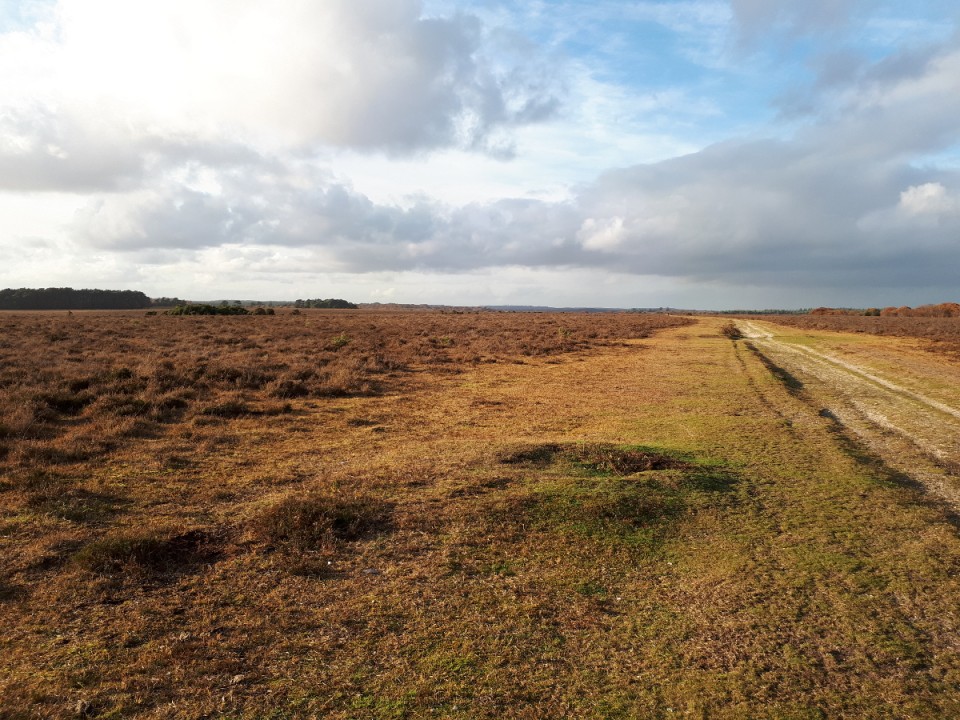
Image © UncleRob CC0-1.0
Nearest Town:
Southampton (7km NE)
OS Ref (GB):
SU361065 /
Sheet: 196
Latitude:
50° 51' 22.71" N
Longitude:
1° 29' 13.43" W
Added by
UncleRob
Images (1)
0 discussions
Start a topic
Show |
Hide
Web searches for Yew Tree Heath
Flickr
Google
Google Images
MAGIC
The Megalithic Portal
Bing
Stone Pages
Streetmap.co.uk
Wikipedia
Show map
(inline Google Map)
- Sites within 20 km -
-
North Yew Tree Heath Barrows (1.58km NNE) (5 posts)
Dibden Bottom (2.41km E) (5 posts)
Marchwood Inclosure (2.74km ENE) (4 posts)
Ashurst Lodge (3.33km WNW) (8 posts)
Dibden Inclosure (4.09km E) (2 posts)
Beaulieu Road (4.51km E) (5 posts)
Hatchet Pond (4.82km S) (1 post)
Cold Pixie's Cave (5km S) (6 posts)
Pudding Barrow (5.32km SSW) (5 posts)
Beaulieu Heath (5.53km SSW) (4 posts)
Ipers Bridge Road (6.14km E) (5 posts)
Holbury Purlieu (6.34km E) (1 post)
Testwood Lakes (8.09km NNW) (1 post)
Tatchbury Mount (8.48km NW) (2 posts)
Whitefield Moor (8.83km WSW) (2 posts)
Setley Plain (9.18km SW) (6 posts)
Setley Pond (9.29km SW) (5 posts)
Money Hills (9.6km NW) (2 posts)
Lower Exbury (9.71km ESE) (4 posts)
South Baddesley Stone (9.95km S) (5 posts)
Malwood Castle (10.07km WNW) (1 post)
Shirley Holms (10.28km SW) (3 posts)
Longsdale View Barrow (10.64km SW) (3 posts)
Buckland Rings (10.77km SSW) (12 posts)
Chilworth Ring (11.7km NNE) (2 posts)
Hamble Common camp (12.07km E) (1 post)
Stagsbury Hill (12.14km WNW) (8 posts)
Toothill Fort (12.25km N) (4 posts)
Netley Hill (12.62km ENE) (1 post)
Holman's Bottom Barrows (12.93km WSW) (1 post)
Creek Bottom Barrows (13.12km WSW) (1 post)
Elkham Grave Barrow (13.49km SW) (1 post)
The Butt (Fritham) (13.75km W) (5 posts)
Monarch Way (14.07km NE) (1 post)
Moorgreen House (14.07km NE) (1 post)
Bratley Plain (14.37km W) (6 posts)
Black Bush Plain (14.54km WNW) (1 post)
Collins Grave Bowl Barrow (14.77km WSW) (1 post)
Slap Bottom (16.21km WSW) (2 posts)
Castle Piece (16.32km W) (2 posts)
Castle Hill (Burley Street) (16.45km WSW) (8 posts)
Burnt Axon (16.66km WSW) (5 posts)
Dunwood Camp (17.17km NW) (2 posts)
The Butts (New Forest) (17.24km W) (1 post)
Vales Moor (17.37km WSW) (8 posts)
Jacob's Barrow (18.64km WNW) (4 posts)
lbsley Common (19.06km W) (1 post)
- Add -
-
Add news
Add an image
Add fieldnotes
Add folklore
Add miscellaneous
Add a link
-
Add a site
Add a nearby facility
Add an alternative name/spelling
Images
(click to view fullsize)
Add an image
 Image © UncleRob CC0-1.0