|
|

|
|
Penrhyncoch CampHillfort
|
||||||||||||||||||||||||
|
|
|
Images (click to view fullsize) |
|

|
Fieldnotes |
|
|
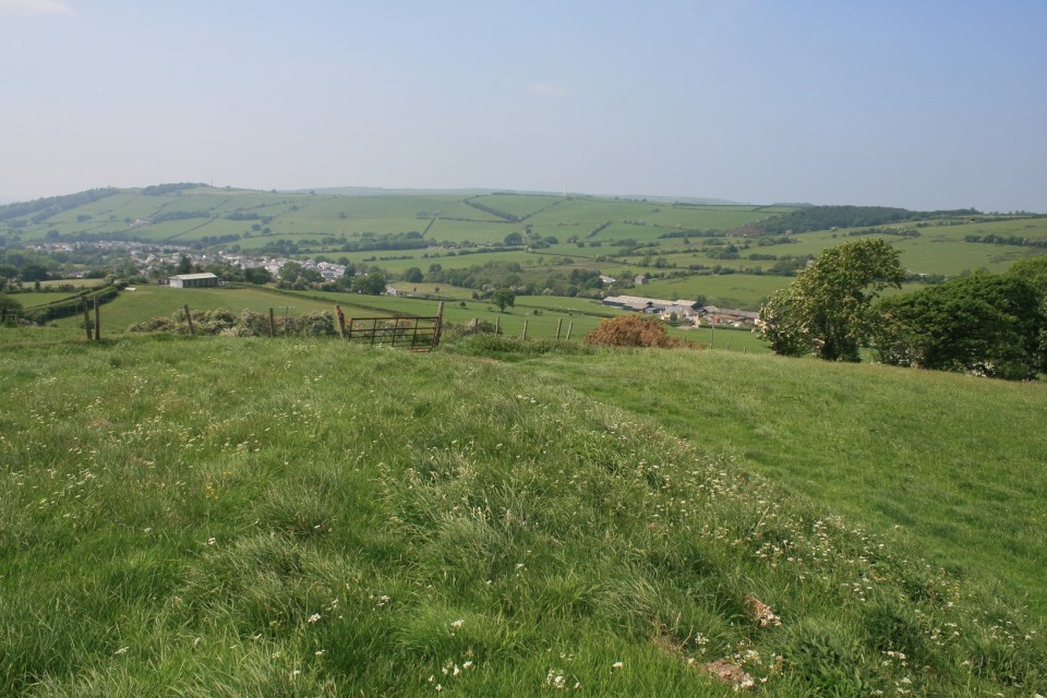
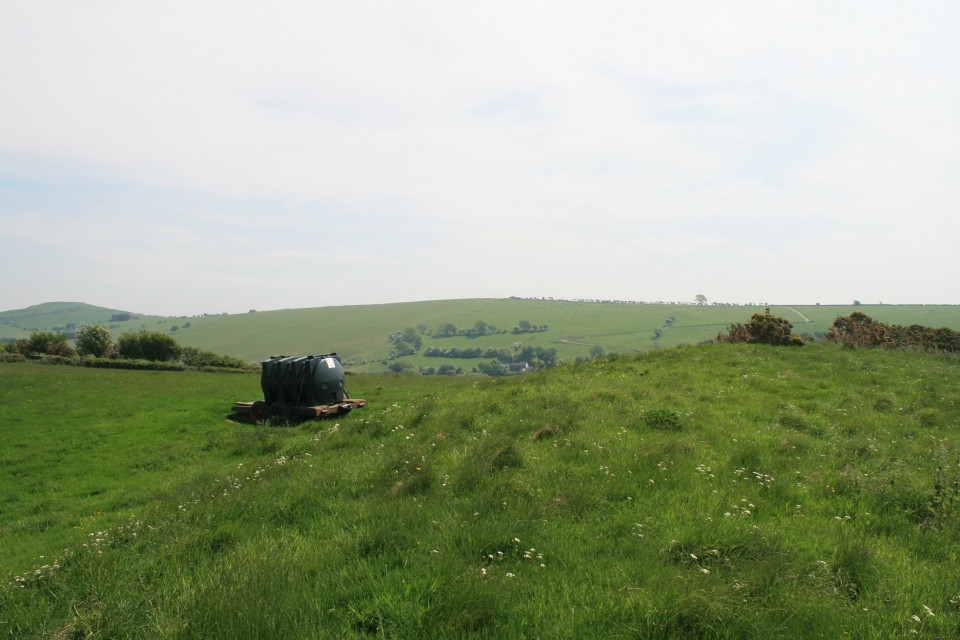
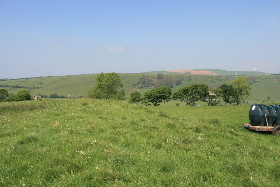
Negotiating the often steep maze of lanes from one stone to the next we passed by this iron age settlement, I had wanted to see Pen y Castell hill fort but was unsuccessful in my management of time, so this little one would do for a surrogate iron age fix. It isn't the best fort in the vicinity, half of it, to the west, including the entrance is too ploughed out to photograph. But a quick look at the aerial photos on Coflein will show it's hillfortyness. http://map.coflein.gov.uk/index.php?action=do_details&cache_name=ZXh0ZW50dHlwZSxCT1hfbWlueCwyNjU2MzZfbWlueSwyODM5MjhfbWF4eSwyODQxNDdfbWF4eCwyNjU5NzBfc2VhcmNodHlwZSxhZHZhbmNlZF9vcmE=&numlink=303591#tabs-4 |
 Posted by postman
30th May 2018ce Edited 23rd June 2018ce |