|
|

|
|
Slivia 1Hillfort
|
||||||||||||||||||
|
|
|
Images (click to view fullsize) |
|

|
Fieldnotes |
|
|
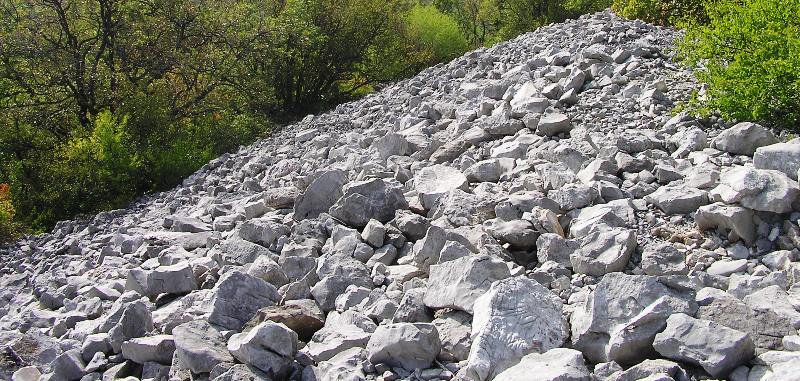
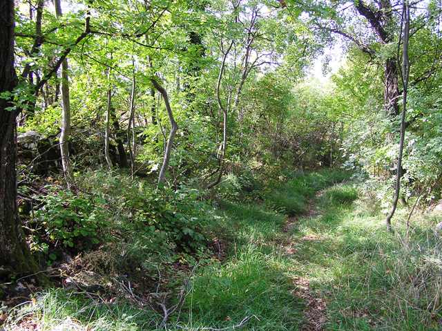
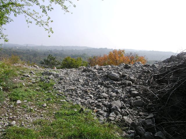
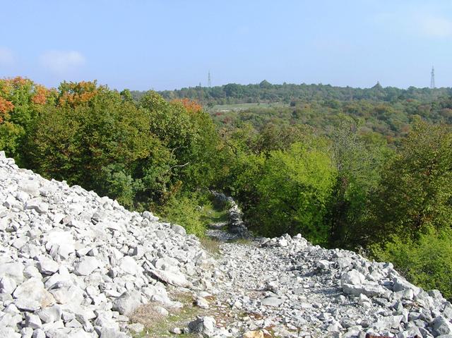
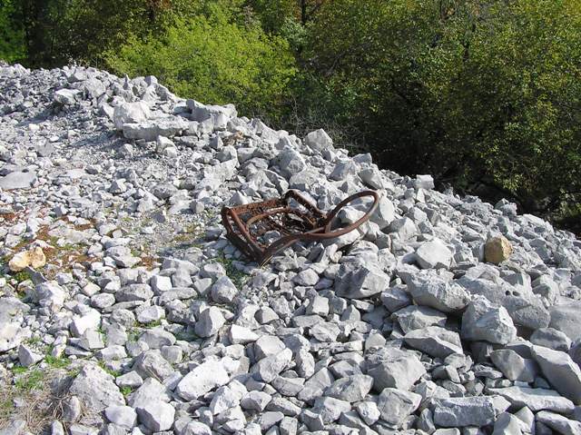
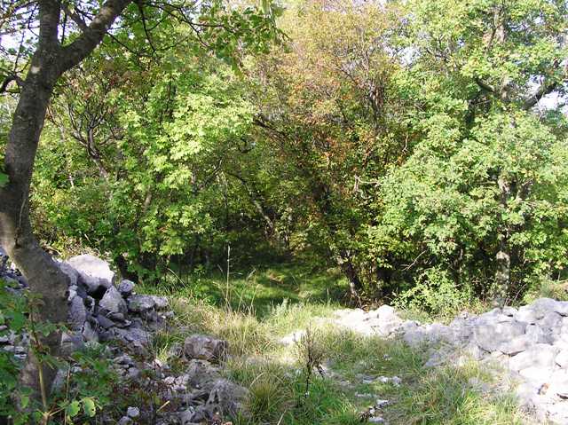
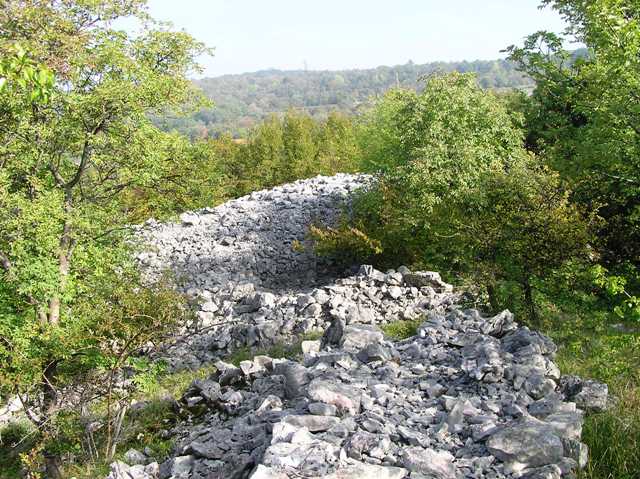
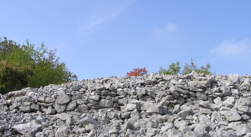
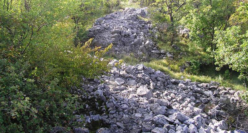
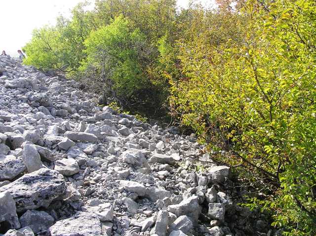
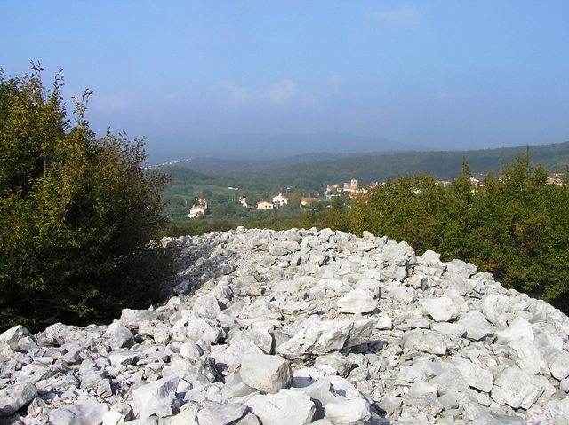
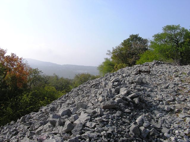
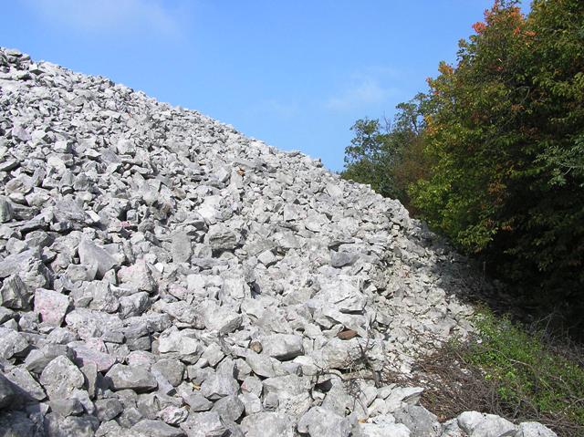
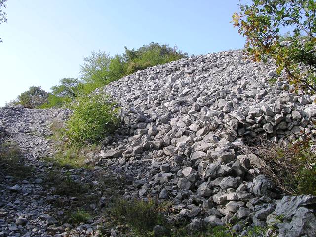
Follow the signs from the centre of another beautiful village, this time Slivia, once again parking the near the information board. The hillfort is around 600m away to the south east. Once again when the trees clear it is another astonishing array of white lime stone walls. Some of the original late Bronze Age dykes remain which surround the top of this fantastic viewpoint. The inner walls stand at an astounding 5m high and must be at least the same wide. I managed to walk the 300 meters all the way round with the only real gap being the entrance which is on the eastern side approaching from the north. Even the outer wall and ramparts are enormous. These cover the south, south east and south west. They stand at least 2m tall with the ditch being 2m wide. Just for good measure there is further defence with a dry stane dyke lying to south of the ditch. Just for size it is a mind blowing place, I've certainly never seen nothing like it. Like a lot of these forts it was used in later wars. The nearby Mount Ermada was protected by this and several other forts in the Isonzo Wars (see Misc) of 1916 between the Italians and Hapsburgs. Trenches and shacks can be found within the walls to the north east. In the beautiful places horrendous things happen and this area has had its fair share. However Carlo Marchesetti, an archaeologist who I'd read a lot about, restored a lot of the fort and is considered the areas greatest historian. It is very fitting that the fort now bears his name, so another glass was raised to him. Visited 18/10/2017. |
3rd November 2017ce |
Miscellaneous |
|
|
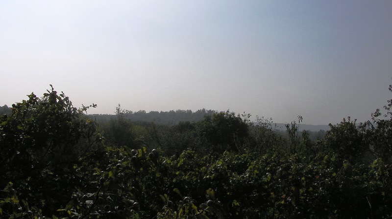
The open-air Museum of Mt. Ermada offers a chance to discover the Austro-Hungarian defensive line fortified in September 1916 following the Sixth Battle of the Isonzo. The Italian victory had forced the Habsburg Imperial Army to abandon the high ground around Monfalcone and move to this area around the Karst surrounding Trieste. The choice of settling at Mt. Ermada and the surrounding hilltops was not random, but rather driven by strategic and practical reasons. From here, in fact, you could control both the Valley of Brestovizza (Brestovica Dol, now part of Slovenia) and the passage to Trieste, the Habsburg town claimed by the Italians. The sinkholes, the passages between the rocks and the natural caves of the Karst Plateau perfectly adapted to the needs of the Great War. Trenches, observation posts and housing for soldiers were built in no time, practically creating an insurmountable barrier for the Italians. All assaults of the Third Army between the Eighth and Tenth Battle of the Isonzo were indeed rejected despite the lower number of Austro-Hungarian soldiers. Open-air Museum of Mt. Ermada (From here you can see almost all of the Karst Forts which the Austro Hungarians used.) |
3rd November 2017ce Edited 3rd November 2017ce |
|
Castle of Slivia I From the centre of the village you can see the first of the two castles of Slivia, and reach it by following path no. 47 which runs through meadows dedicated to hay production. The summit, located at 199 m above sea level, is surrounded by an imposing wall, up to 5 meters high, characterized by the presence of a passage. The inner circle, circular, was further defended by another semi-circular outer structure. The chateau was widely used, from 1500 to 400 BC. The stones nowadays scattered in confusing times are most likely due to both the perimeter wall and the protostorical buildings that found space inside the inner shelves. Scary remains demonstrate how the castle was frequented sporadically even in Roman times. The strategic importance of the altitude for the control of the surrounding area has also been noted in a much recent era: on the northeast side are still visible the shacks and trenches excavated to protect Mount Ermada during World War I. The castles for the grandeur of the remains and for the goodness of the research conducted here has been titled to the greatest local scholar of the castles: Carlo Marchesetti Castelliere di Slivia I - Percorsi in Provincia di Trieste |
3rd November 2017ce |