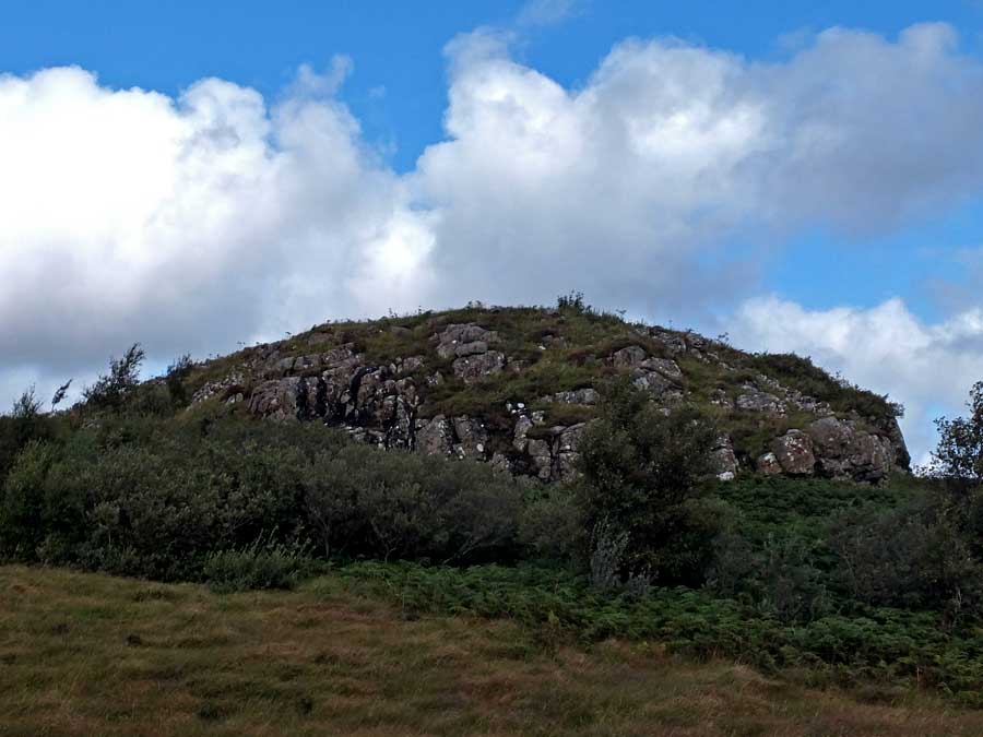
Situated on the 120 metre summit of Ben Chrachaig, immediately north of Portree Bay, little structure remains of the tumbledown fort of Dun Torvaig.
The slopes of the hillside are a jungle of alternate woodland and thick bracken but easy access can be achieved by first following the coastal path from the Coolin Hills Hotel for several hundred metres, as far as the Viewpoint. Take the path up to the grassy Viewpoint, and you will find that it continues into the trees beyond, wending its way, in part via steps, through the trees and bracken, on to the summit plateau. The plateau is undulating, but the site of Dun Torvaig is a compact rocky knoll near its centre, guarded on the east by low cliffs.
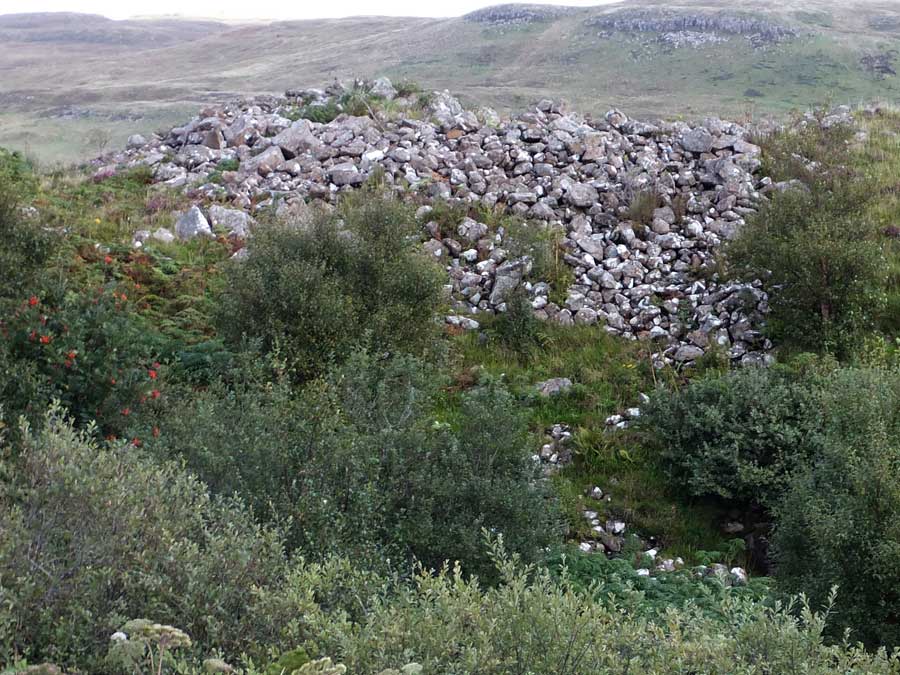
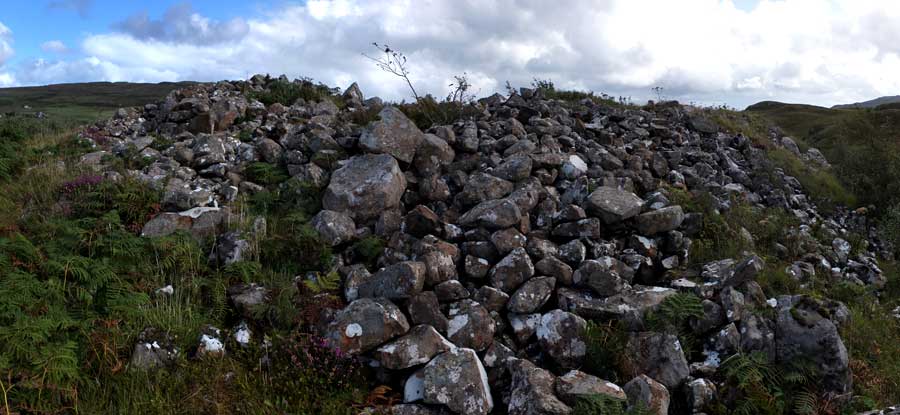
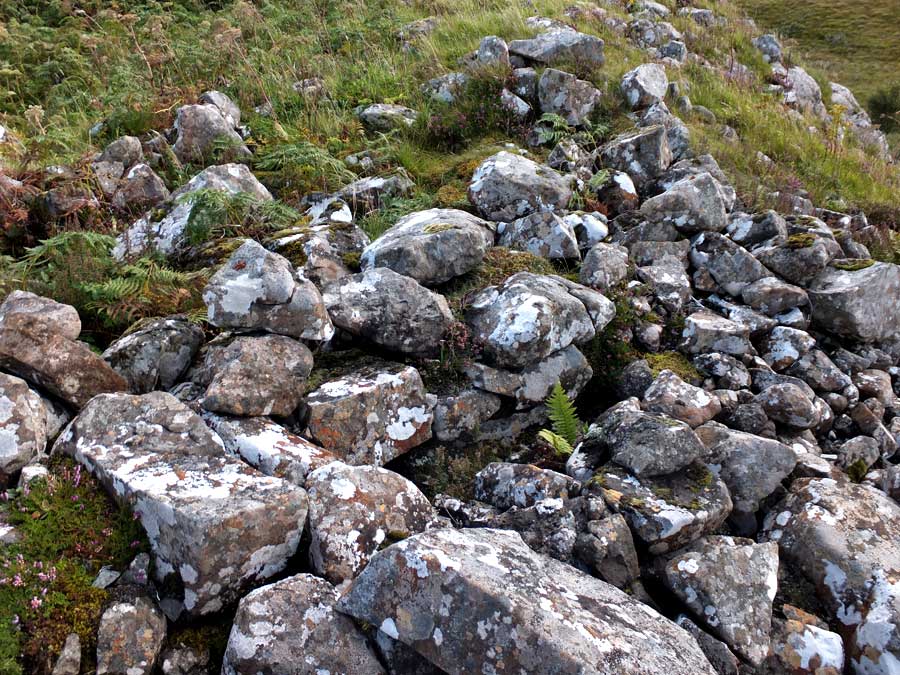
There is a short stretch of walling still extant, two courses high, on the dun's western side, and a rather dilapidated entrance corridor to its south. Otherwise Dun Torvaig is little more than a mass of tumbled stone. Nonetheless, the views from this eyrie are superb, particularly towards the Storr, just nine kilometres to its north.


 Posted by LesHamilton