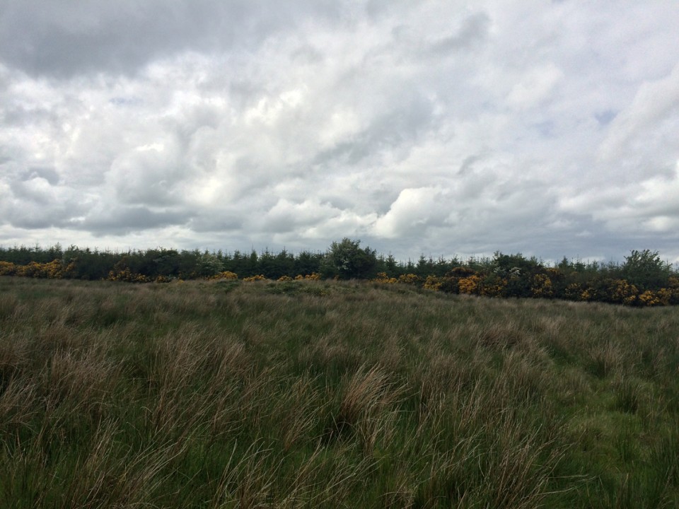
We traipsed up a waterlogged lane at the side of some forestry on the north side of the Slieve Bloom range. You never know quite what to expect on these little ventures, and when accompanied by two half-interested companions, trepidation that the discomfort might be a complete waste of time increases with proximity to the goal. This is one of those ones however that lives up to my middling expectations, with some awesome scenery and fairly magical atmosphere.
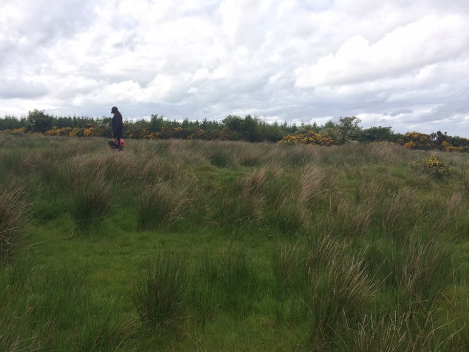
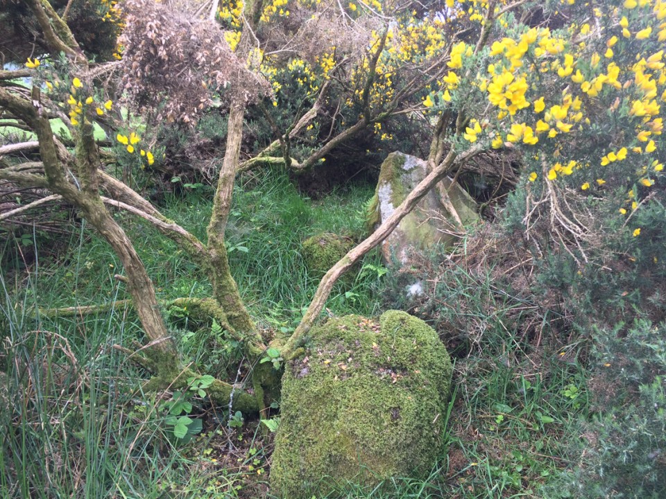
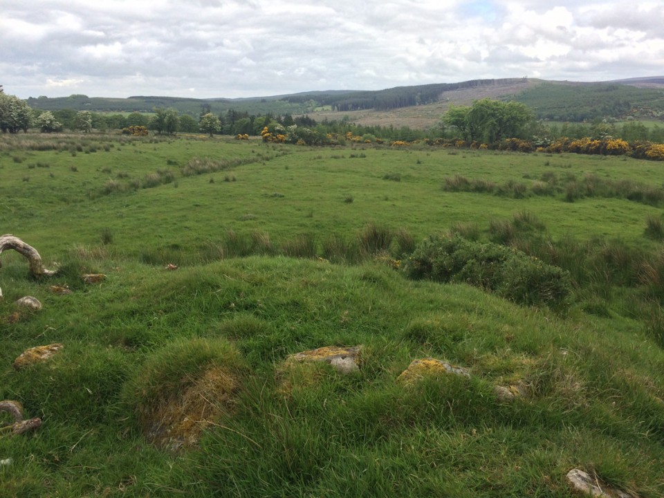
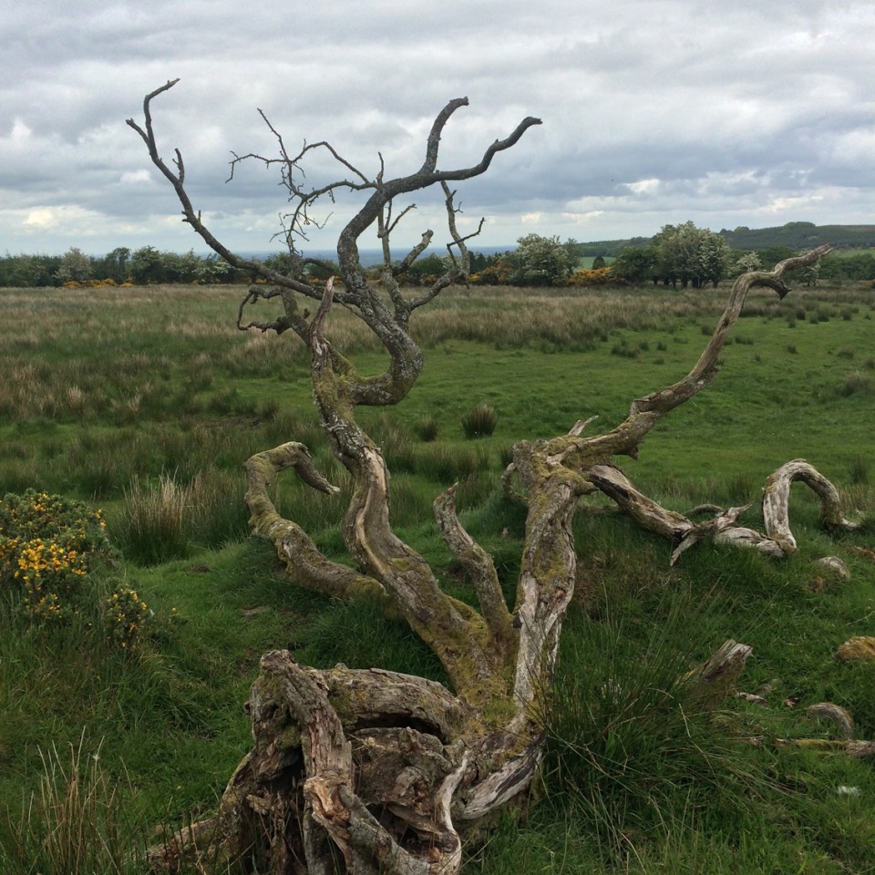
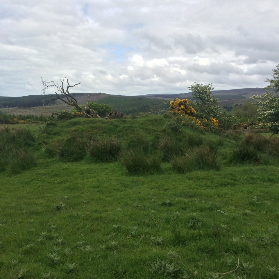
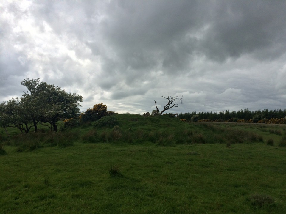
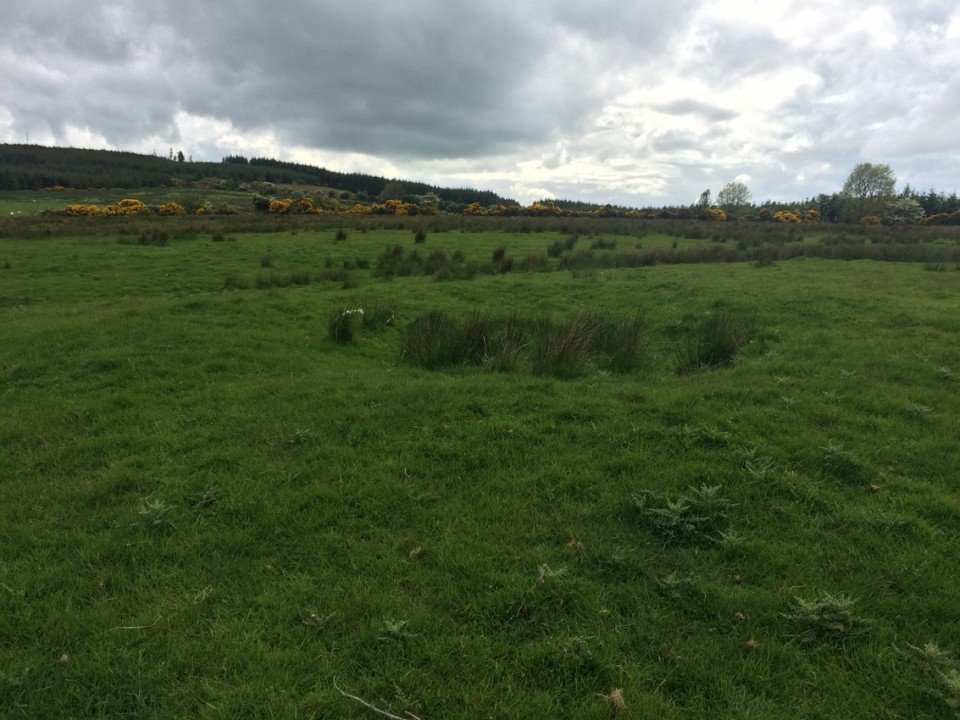
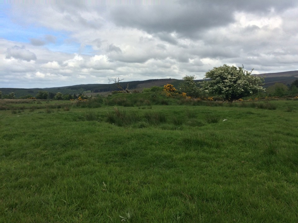
The first of the five barrows that we encountered as we approached from the west is named a pond barrow on the slightly dodgy entries at the National Monument database. It's very small, quite eroded and relatively dry at the centre, though with the tell-tale rushes signalling that it could be quite wet in winter. You'd almost pass it by as your eye is drawn to the next in the west-to-east line that we followed. This is the most impressive of the five and the most obvious, described on archaeology.ie as a 'mound barrow' and "On top of high ground in mountainous area. Circular flat topped mound (H 3m approx. top diam. 7m; base diam. 15m) with circular depression (Wth 2.5m; D 0.6m) on top with evidence of stone kerbing around depression (possible collapsed burial)." The collapsed, dead thorn tree on the flattened top added to the atmosphere.
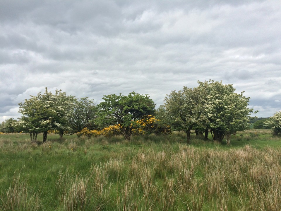
We moved over to the middle of the 5 barrows, a so-called 'ring barrow' and indeed it is surrounded by a ring of hawthorn trees. There is a clatter of bushes growing on the mound itself and it's hard to make out, but, like at the mound barrow, there are some stones that may have formed a cist or chamber at one time.
In the next field over are the very large bowl barrow, described on archaeology.ie thus: "Located on top of high ground in mountainous area. Circular raised area (diam 16.5m; H 0.8m) enclosed by a slight bank (Wth 2m; ext. H 1m) and poorly preserved external fosse. Marshy raised interior is unusual." Not far from this a little further east are the very poor remains of the fifth, unclassified barrow.
The records for these at archaeology.ie are incorrect, with the bowl barrow and the mound barrow inverted and the ring barrow description given for the most easterly, least impressive of the five.
We spent quite a while here, only taking our leave when the bullocks in the fields decided that we did have food after all and approached us expectantly.
...a group of five barrows (OF037-008001/002/003/005-). According to local tradition these barrows are located on a hilltop which was the inauguration site of the O’Flanagans of Cinél Arga (Feehan 1979, 143). It is possible that these burial mounds form part of a ritual landscape associated with this inauguration site.


 Posted by ryaner