From the farm at Canterland I walked back down to the minor road and headed east over the impressive bridge crossing the Morphie Burn. The Morphie Farm is well signposted shortly after climbing up from the bridge. Impressive standing stones have recently been erected leading the way to an equally impressive farmhouse. Nobody at the farm had heard of the cairn but they all had heard of the nearby famous standing stone.
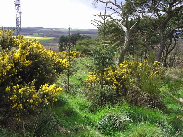
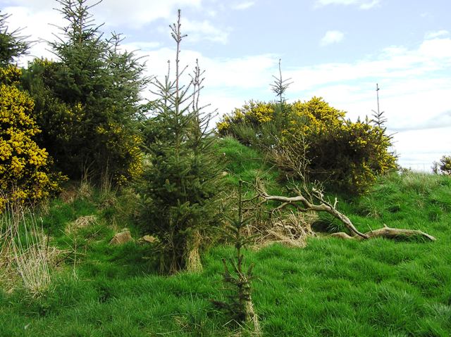
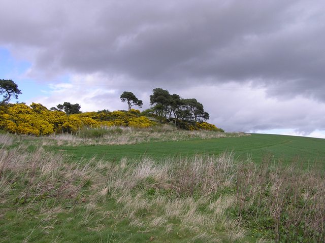
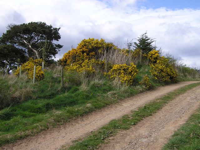
The cairn does remain. A track heads up a wee hill just to the north of the farm which is fenced containing masts and a small plantation. Canmore have the cairn to the west of this area, it is actually on the east side.
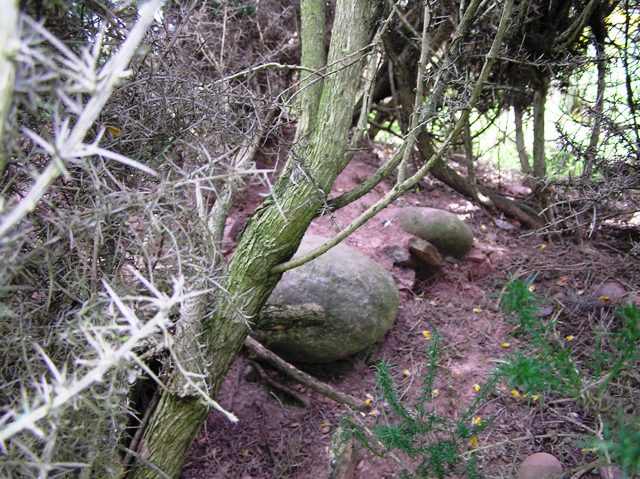
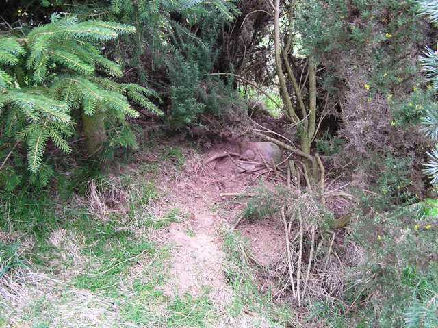
Part of the cairn has been damaged by fencing and also by the making of a road which leads to nearby quarry. Underneath the gorse plenty cairn material can be seen with possible kerbs hiding beneath the grass. Somehow the cairn survives at almost 14m wide being nearly 2m tall.
Perhaps its a lucky thing that not many people realise this cairn still exists. Good all round views including south into Angus.