The Modern Antiquarian. Stone Circles, Ancient Sites, Neolithic Monuments, Ancient Monuments, Prehistoric Sites, Megalithic MysteriesThe Modern Antiquarian


Mynydd Llangorse

Cairn(s)

<b>Mynydd Llangorse</b>Posted by GLADMANImage © Robert Gladstone
Also known as:
  • Mynydd Llangorse (East)

Nearest Town:Crickhowell (9km SE)
OS Ref (GB):   SO16562612 / Sheet: 161
Latitude:51° 55' 36.74" N
Longitude:   3° 12' 48.94" W

Added by GLADMAN


Discussion Topics0 discussions
Start a topic


Show map   (inline Google Map)

Images (click to view fullsize)

Add an image Add an image
<b>Mynydd Llangorse</b>Posted by GLADMAN <b>Mynydd Llangorse</b>Posted by GLADMAN <b>Mynydd Llangorse</b>Posted by GLADMAN <b>Mynydd Llangorse</b>Posted by GLADMAN <b>Mynydd Llangorse</b>Posted by GLADMAN <b>Mynydd Llangorse</b>Posted by GLADMAN <b>Mynydd Llangorse</b>Posted by GLADMAN <b>Mynydd Llangorse</b>Posted by GLADMAN

Miscellaneous

Add miscellaneous Add miscellaneous
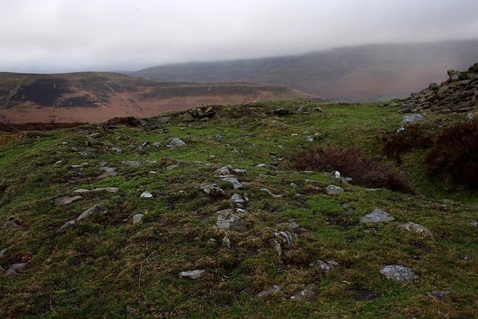
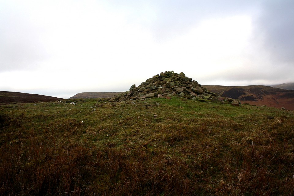
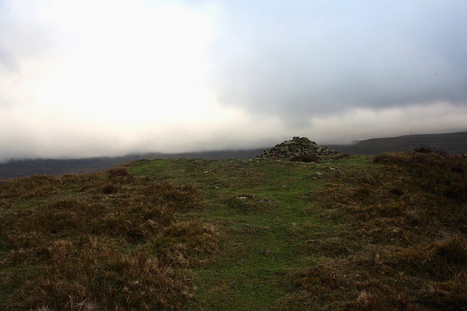
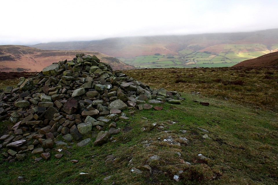
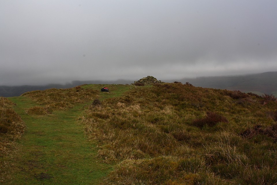
This is a deceptively substantial upland cairn which, to my mind, should be taken as a pair with the splendidly sited 'Blaneau-draw' monument a little way to the ENE. Indeed, an approach from Cwm Sorgwm, via the latter, makes for a grand hill walk with some excellent views. I was able to park upon the verge just south-east of the farm access road's junction with the 'main road' through the cwm (which, incidentally, is a good starting point for an ascent of Mynydd Troed's cairn).

Anyway, according to Coflein what we have here is:

"A mutilated cairn, 23m in diameter and 1.8m high, surmounted by a modern cairn. Set on the crest of a mountain ridge, on the boundary between two communities". [J.Wiles 15.08.02]
GLADMAN Posted by GLADMAN
20th January 2018ce
Edited 20th January 2018ce