The Modern Antiquarian. Stone Circles, Ancient Sites, Neolithic Monuments, Ancient Monuments, Prehistoric Sites, Megalithic MysteriesThe Modern Antiquarian


Cranham Corner

Enclosure

<b>Cranham Corner</b>Posted by thesweetcheatImage © A. Brookes (15.3.2009)
Nearest Town:Gloucester (7km NW)
OS Ref (GB):   SO8847413114 / Sheet: 162
Latitude:51° 48' 57.82" N
Longitude:   2° 10' 2.01" W

Added by thesweetcheat


Discussion Topics0 discussions
Start a topic


Show map   (inline Google Map)

Images (click to view fullsize)

Add an image Add an image
<b>Cranham Corner</b>Posted by thesweetcheat <b>Cranham Corner</b>Posted by thesweetcheat

Fieldnotes

Add fieldnotes Add fieldnotes
Visited 15.3.2009 as a precursor to a walk to the hugely impressive Painswick Beacon hillfort.

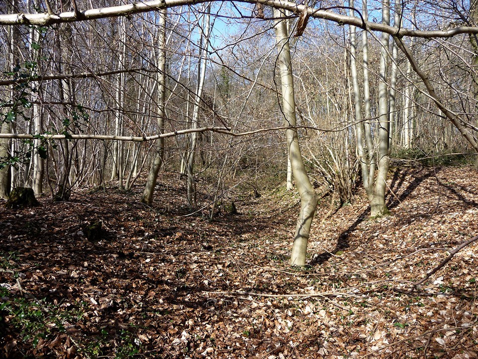
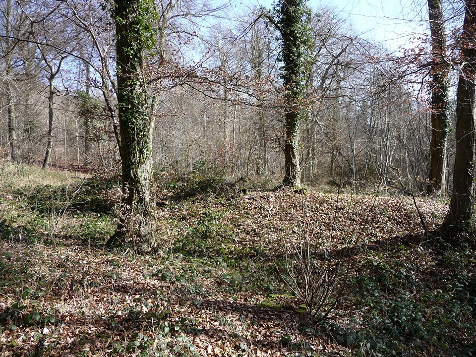
A triangular enclosure in a triangular piece of woodland, close to the busy A46 but far enough away for the noise to be left behind. Very overgrown even in spring. The enclosing banks are quite well defined though, under their covering of brambles and ivy.

No-one seems sure of the date, but its proximity to the Iron Age camp at High Brotheridge may be significant.
thesweetcheat Posted by thesweetcheat
30th October 2016ce