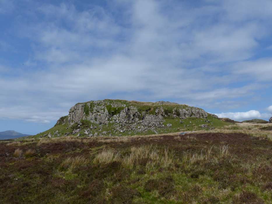
Very much neglected because of the magnificence of the Dun Beag broch close to the roadside near Struanmore, the Fort of Dun Mor, 800 metres to its north is well worth a visit, and not just for the amazing aerial view it provides over the broch lower down the hillside.
From Dun Beag, Dun Mor lies across a heathery moor, but easy walking can be found by following grassy tongues. The fort is well defended on all sides
except the east by vertical 20 metre crags, but is most easily ascended by gentle slopes from the northeast.
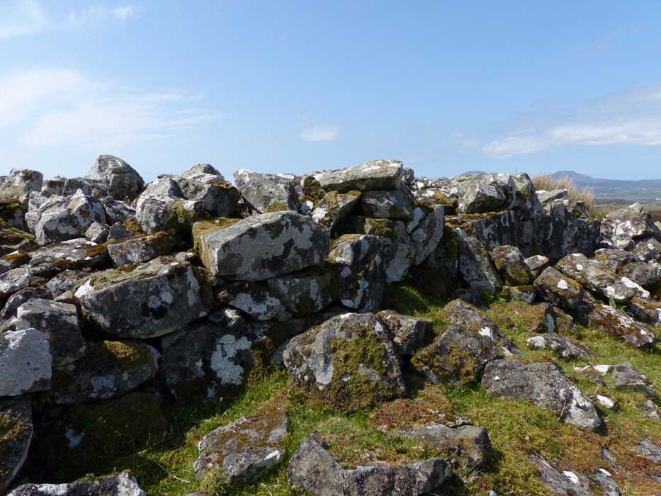
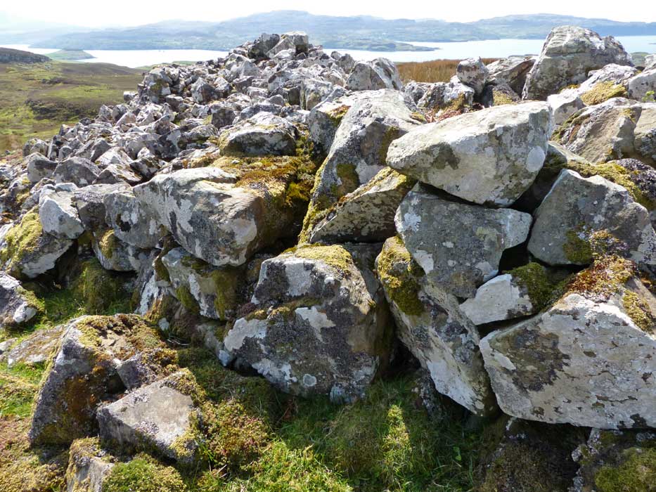
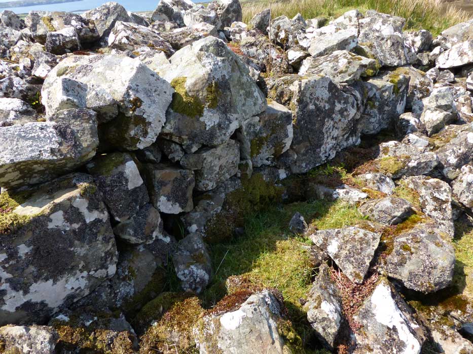
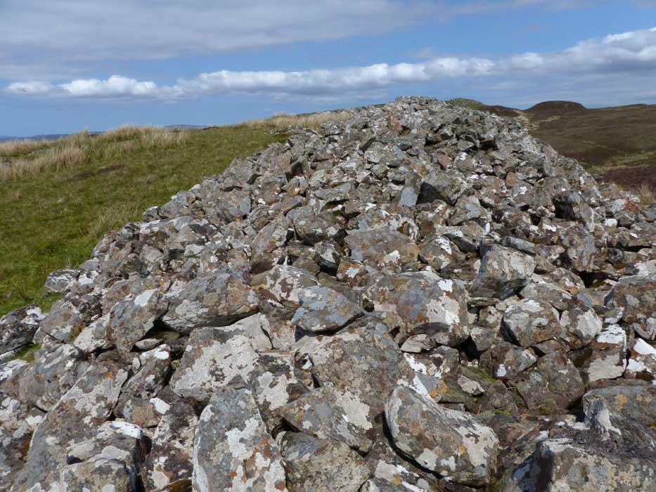
Clearly the one weak point in its situation, the entire eastern edge of the fort is marked by a huge tumble of largely fallen masonry, about 2 metres high by 5 metres broad, that must once have been a wall of considerable proportions. In several places, the original stonework is still in place to a height of two courses.
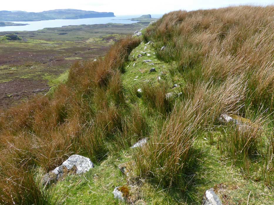
At its southern end, the tumble gives way to a grassy bank which continues above the cliffs surrounding much of the perimeter of the fort, with footing stones of a former wall peeking out of it.

 Posted by LesHamilton