The Modern Antiquarian. Stone Circles, Ancient Sites, Neolithic Monuments, Ancient Monuments, Prehistoric Sites, Megalithic MysteriesThe Modern Antiquarian


Westerton

Ancient Village / Settlement / Misc. Earthwork

<b>Westerton</b>Posted by drewbhoyImage © drew/amj
Nearest Town:Banchory (6km NW)
OS Ref (GB):   NO73369161 / Sheets: 38, 45
Latitude:57° 0' 53.53" N
Longitude:   2° 26' 19.51" W

Added by drewbhoy


Discussion Topics0 discussions
Start a topic


Show map   (inline Google Map)

Images (click to view fullsize)

Add an image Add an image
<b>Westerton</b>Posted by drewbhoy <b>Westerton</b>Posted by drewbhoy <b>Westerton</b>Posted by drewbhoy <b>Westerton</b>Posted by drewbhoy

Fieldnotes

Add fieldnotes Add fieldnotes
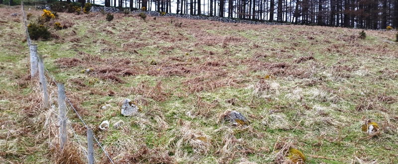
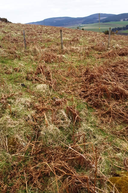
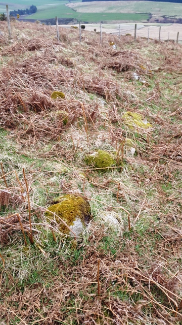
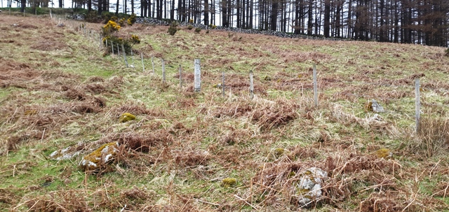
I headed south from the remnants of the cairn, crossed the track, jumped the fence and headed west. A fence runs through the middle of the 9 meter wide hut circle. The circular wall of the hut can be clearly seen, when at the site, and I somehow managed to walk through the front door which is in the east. Some of the wall is over 2 meters wide but is no more than 70-80 centimetres high.

Good views south to Cairn Mon Earn and Blarourie (a hill I will have a good look at very soon).

From the hut circle I made my way down to the minor road and headed west. The Nine Stanes RSC can be seen from the road. Just round the corner is the car park where the walk started.

Visited 14/4/2016.
drewbhoy Posted by drewbhoy
25th April 2016ce