The Modern Antiquarian. Stone Circles, Ancient Sites, Neolithic Monuments, Ancient Monuments, Prehistoric Sites, Megalithic MysteriesThe Modern Antiquarian


Criccieth

Hillfort

<b>Criccieth</b>Posted by thesweetcheatImage © A. Brookes (18.9.2015)
This site is of disputed antiquity. If you have any information that could help clarify this site's authenticity, please post below or leave a post in the forum.
Nearest Town:Criccieth (0km N)
OS Ref (GB):   SH49993773 / Sheet: 123
Latitude:52° 54' 56.23" N
Longitude:   4° 13' 52.66" W

Added by thesweetcheat


Discussion Topics0 discussions
Start a topic


Show map   (inline Google Map)

Images (click to view fullsize)

Add an image Add an image
<b>Criccieth</b>Posted by juamei <b>Criccieth</b>Posted by thesweetcheat <b>Criccieth</b>Posted by thesweetcheat <b>Criccieth</b>Posted by thesweetcheat <b>Criccieth</b>Posted by thesweetcheat <b>Criccieth</b>Posted by thesweetcheat <b>Criccieth</b>Posted by thesweetcheat

Miscellaneous

Add miscellaneous Add miscellaneous
Information from the Gwynedd Archaeological Trust RHER:
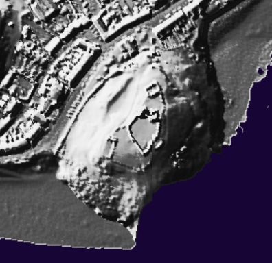
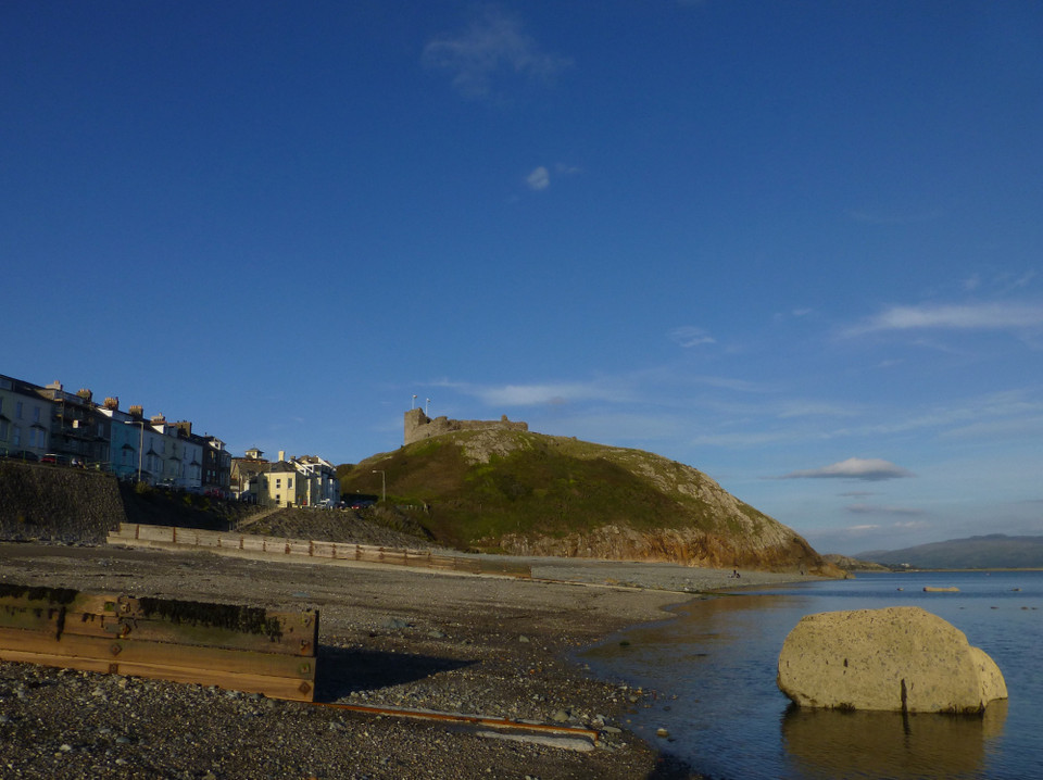
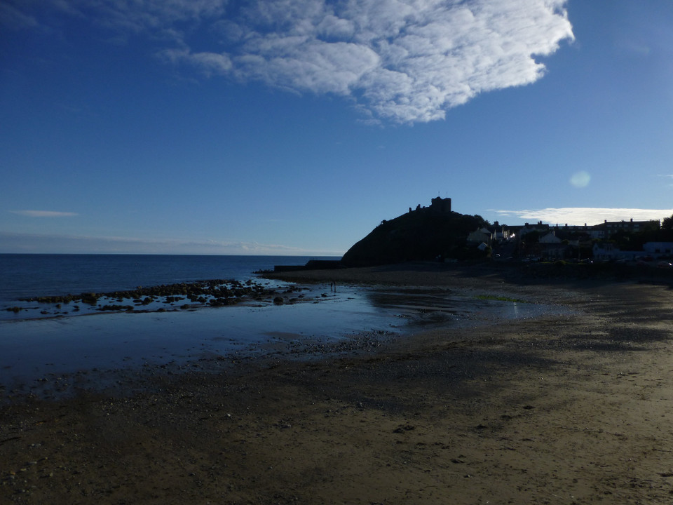
It [Criccieth Castle] stands within an enclosure formed by the cliffs to the south and an earthen bank to the north which has the appearance of an Iron Age hillfort.

An urn discovered behind the cottage of the Castle custodian might suggest an Iron Age site. The find occurred at a depth of 2.6m behind the cottage of the Criccieth Castle custodian, and it is suggested that the bank under which it lay is a remnant of an Iron Age earthwork.
The rocky outcrop to the northwest of the castle is called Dinas, although there's no record of any site or finds there.
thesweetcheat Posted by thesweetcheat
11th October 2015ce
Edited 11th October 2015ce