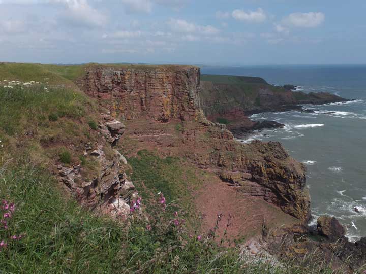
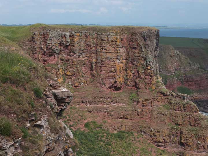
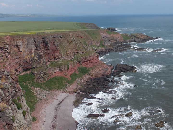
Red Head, only discovered as recently as 1961, is the northernmost of the six promontory forts ranged along the Angus coastline, and lies about a kilometre north of Prail Castle. Perched above 81 metre tall cliffs, Red Head fort lies at the highest location on the Angus coast.
Evidence was found of a rampart, ditch and causeway, but the site was badly mutilated by trenching associated with its use as a World War I observation post.
There is an excellent aerial Photograph of Red Head on Aberdeenshire Council's website.
You can read more about this site on the Canmore website.

 Posted by LesHamilton
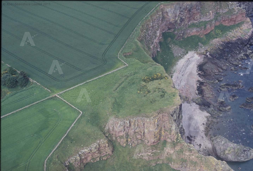