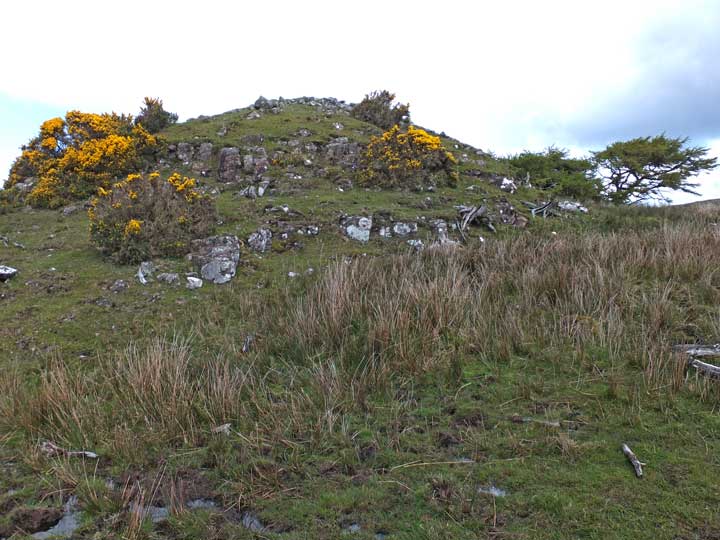
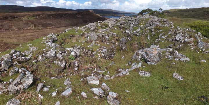
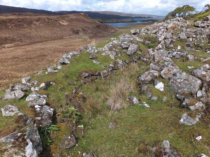
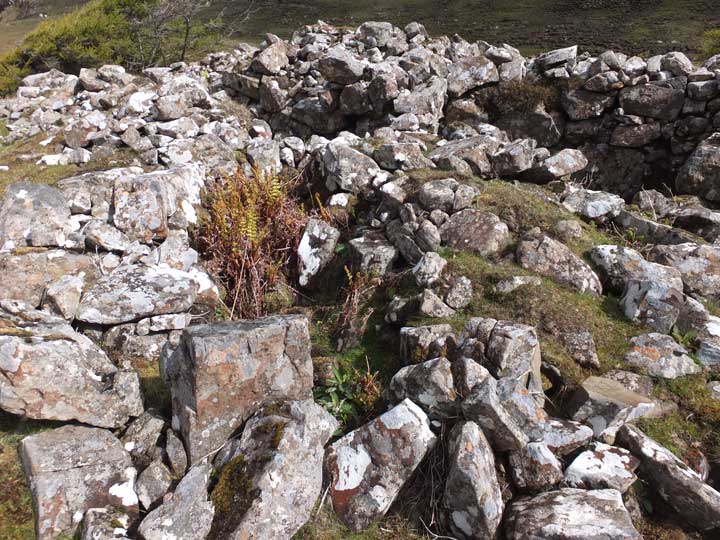
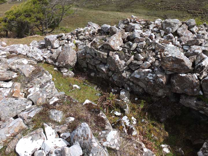
Excavated by Countess Latour, who was the first to excavate brochs on the Isle of Skye—Dùn Fhiadhart in 1892 and Dùn Beag in 1914—Dùn Totaig is now largely a mass of tumbled stones, particularly in the interior. Nonetheless, some structure does remain: a good section of foundation course in the south and a neatly built section of entrance passage in the north.
The Dùn lies less than a kilometre from Uiginish House, from where a good farm track leads southwest from beside a large barn.
One problem I faced came where the initially straight path bore left as it started to circle round the foot of Beinn a'Ghuail, a low (57 metre) gorse-clad hill. The path became increasingly muddy, and after 100 metres or so the mud was over the top of my boots.
So I climbed the fence into the field on the left, which provided good walking to the Dùn. There is in fact a gate into this field at the point where the path forks (the left branch heading southeast towards Dùn Chaich). Provided there is no livestock grazing, this would have been the best mode of approach.

 Posted by LesHamilton