Emerging from a rain-lashed overnight stop upon Mam Ratagan.... I decide to rectify an omission dating from my previous visit to the environs of Loch Duich before finally - and not before time - crossing once again to the wondrously misty Isle of Skye. Yeah, reckon the time is nigh to determine what - if anything - remains of the henge said to stand near Shiel Bridge. Well, as it happens there is quite a lot....
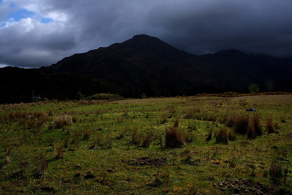
Now to say, with any conviction, that the prevailing weather conditions have improved depends, I suppose, upon your definition of 'improved'. Suffice to say that the introduction of periodic intervals between hitherto incessant downpours, such respites enlivened by bursts of golden light slanting through cracks in the clouds, constitutes a welcome progression to this traveller. Nevertheless conditions are still pretty shite, it has to be said.
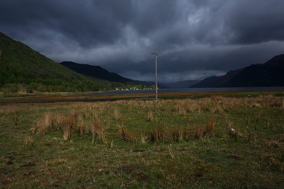
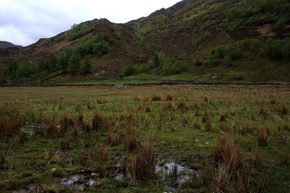
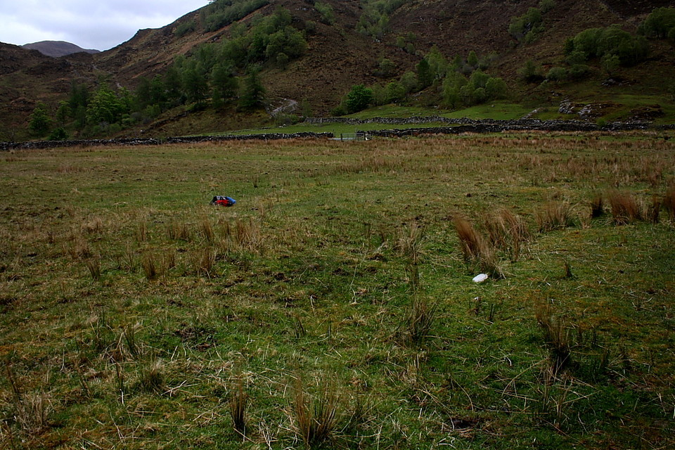
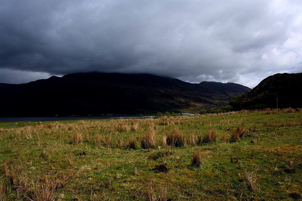
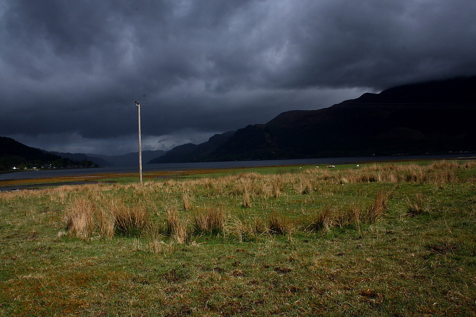
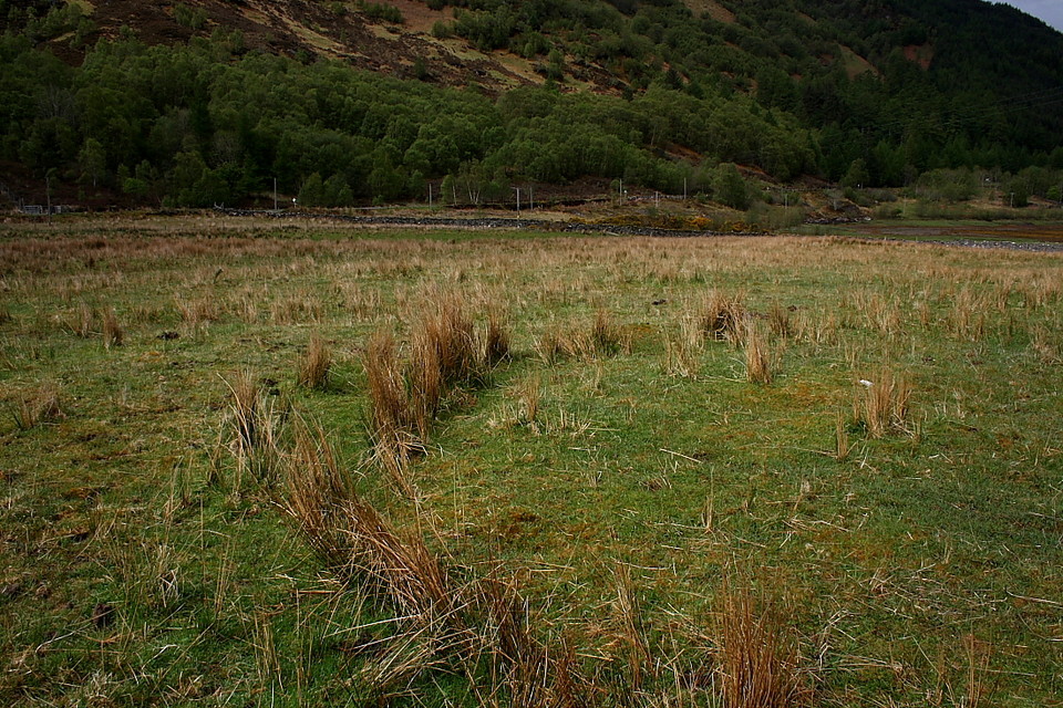
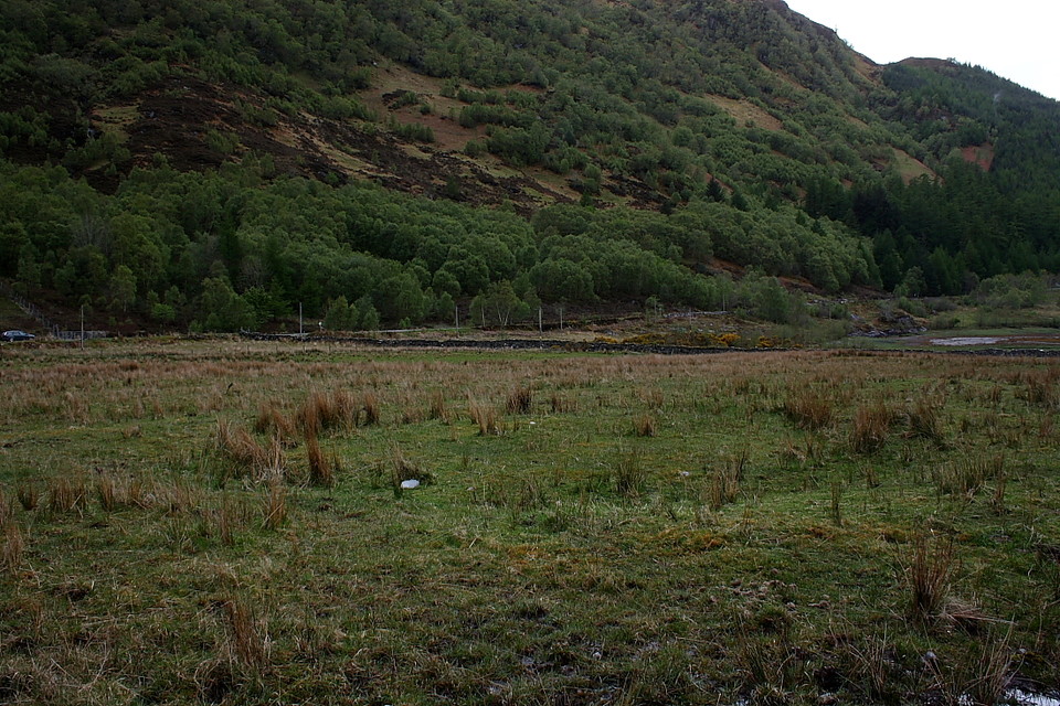
The 'hengiform enclosure' stands within very soggy pasture due west of Glenshiel Lodge. In fact the enclosed field is so wet as to almost require a sub-aqua visit... so what the local herbivores make of it is anybody's guess. Anyway, I park up by the cattle grid sunk within the minor Ratagan road and kit myself out in waterproofs, having neglected to pack any diving stuff. Gingerly entering the pasture it soon becomes apparent that here, standing in almost complete obscurity at the south-eastern end of a glowering Loch Duich, we do indeed have a pretty well defined, albeit diminutive henge. Marvellous. And what a location, too!
According to the Ordnance Survey [JM 1974] - who, rather paradoxically, do not feature the monument upon either the current 1:50 or 1:25k maps - the monument consists of a "level central area, 7.8m in diameter" with a "surrounding bank, c. 3.4m wide x 0.2m high", this best preserved upon the eastern arc. There would appear some doubt as to whether the henge possesses two causeways, one to east and west; in the OS report it is alleged that only the western is original, the eastern merely a "mutilation". I couldn't form a clear opinion owing to ongoing erosion being caused, judging by the footprints, by grazing livestock. This really is not on. I understand - from a passer by - that the landowner is a Scottish patriot? If so I would suggest an active appreciation of the cultures of the peoples that lived here before the Scots arrived would be a good base line?
The weather fronts arrive, unleash their contents and subsequently move away in timely procession. I receive a bit of a pasting.... but it is worth the effort before the pull of Skye becomes too much.

 Posted by GLADMAN