For this visit, en route to Dunkeld, I parked just to west of the River Isla, at Ruthven Farm. From here I walked back east over the bridge. Despite the slow down signs and give ways I don't think local drivers pay much attention to slowing down.
Just to the east, beyond the cottages, take the track into the field and follow it as heads back west towards to the River Isla. At this point the track heads north leading straight to the site.
A good drenching and a beautiful river walk made for an atmospheric site.
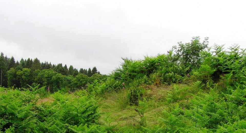
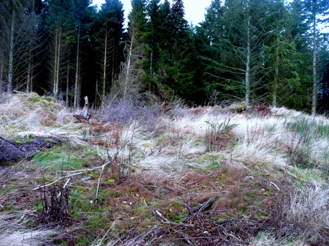
From Philpie head west on the A926 and head north on the next minor road. I parked at Dryloch Farm. Take the track south next to farm which leads to another track then turn west. According to the OS map following the tree line south and then west leads to the cairn. This maybe isn't the case as a new plantation seems to have appeared and I had great fun climbing deer fences, jumping burns and wandering thru bogs before reaching a track of sorts. Still I followed this west until fir trees appeared then OS map was almost correct.
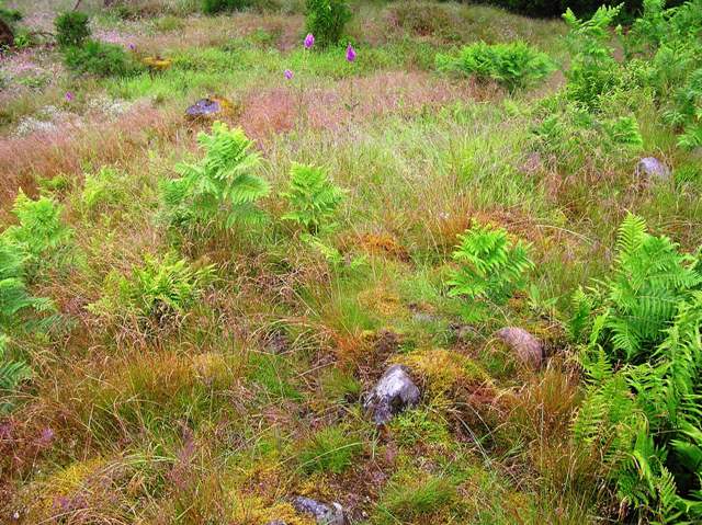
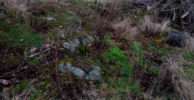
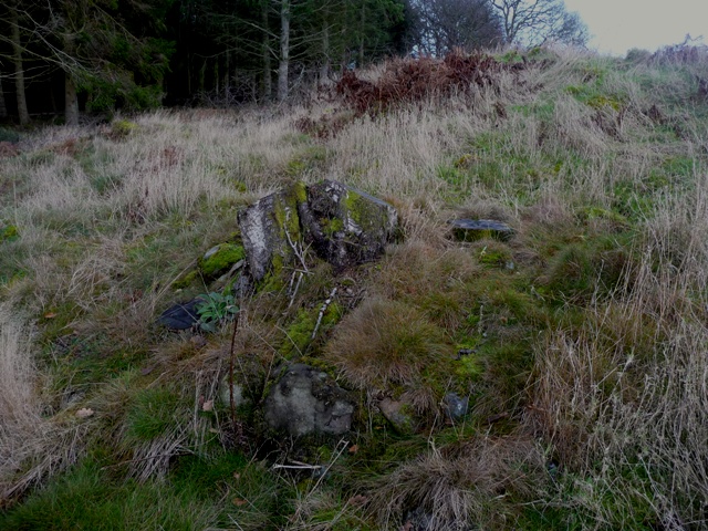
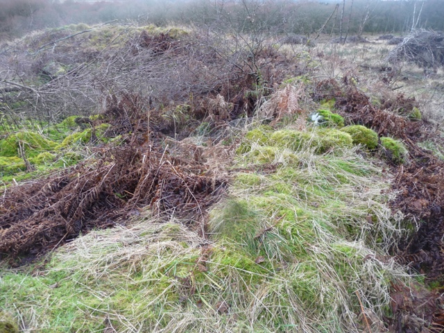
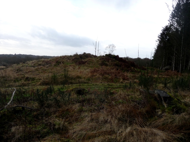
The cairn itself still stands at 28 meters wide and is 2 meters tall. Kerbs still exist on the west and east flanks. Sadly the centre has been badly hollowed and has been used as a rubbish dump by the forestry people. Still its a great place and a wee clean up would do wonders.
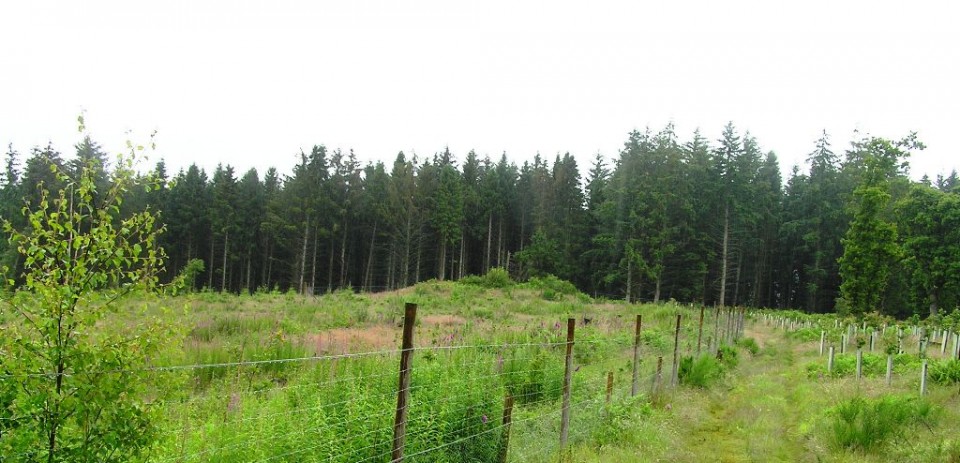
Just to the north of the cairn there is a track which in its own twisty way leads eventually back to farm. So no adventures on the way back. Still a fine hike of four miles all round one way difficult and one way easy.