The Modern Antiquarian
Log in
|
Register
Home
Latest Posts
Forums
Maps
Help
Browse Sites
News
Blog
Contributors
The Books
Select
-
Belgium
Denmark
Eire
France
Germany
Greece
Italy
The Netherlands
Norway
Portugal
Republic of Malta
Spain
Sweden
Switzerland
United Kingdom
Northern Germany
Lower Saxony
Giersfeld
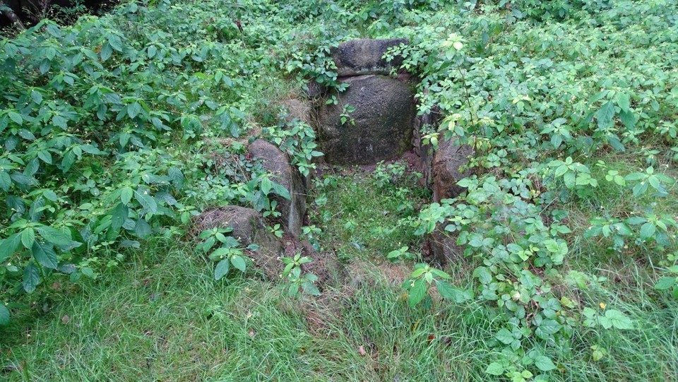
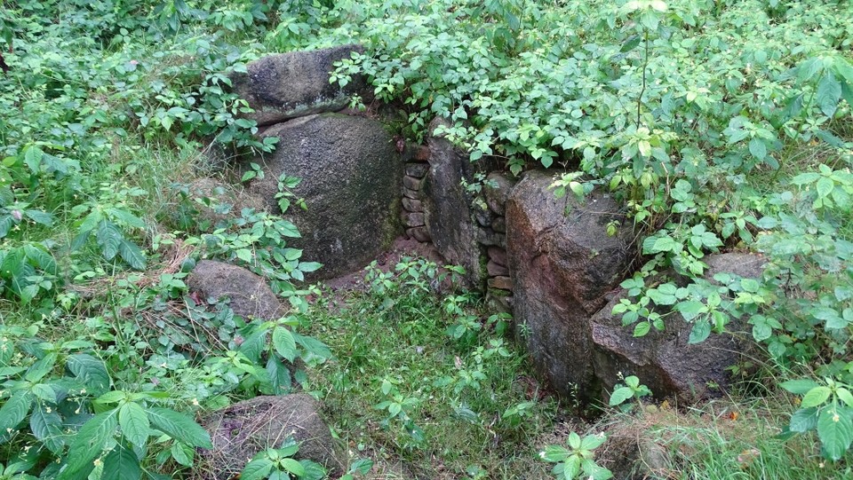
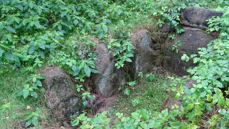
Giersfeld Steinkiste
Cist
Giersfeld Steinkiste (Cist) on The Modern Antiquarian, the UK & Ireland's most popular megalithic community website. 4 images, plus information on many more ancient sites nearby and across the UK & Ireland.
Image © Uwe Häberle 08/2014
Latitude:
52° 28' 55.67" N
Longitude:
7° 53' 6.68" E
Added by
Nucleus
Images (4)
0 discussions
Start a topic
Show |
Hide
Web searches for Giersfeld Steinkiste
Flickr
Google
Google Images
Bing
Stone Pages
Wikipedia
Show map
(inline Google Map)
- Sites within 20 km -
-
Grumfeld-Ost (0.14km NW) (5 posts)
Grabhügel Grumfeld (0.15km WSW) (1 post)
Grabhügel Giersfeld (0.32km NW) (1 post)
Grumfeld-West (0.34km W) (7 posts)
Giersfeld (0.58km NW) (1 post)
Rickelmann 1 (0.69km WNW) (4 posts)
Reinecke (0.94km NW) (4 posts)
Rickelmann 2 (0.98km WNW) (5 posts)
Meyer (1.09km NNW) (3 posts)
Rickelmann 3 (1.15km NNW) (0 posts)
Lange (1.35km NNW) (0 posts)
Matthiesings Opferstein (3.39km S) (4 posts)
Ueffeln (3.88km SSW) (6 posts)
Lintern (4.66km SSW) (4 posts)
Klein Bokern (10.51km WNW) (0 posts)
Dalum (12.43km WNW) (6 posts)
Restrup (12.69km WNW) (5 posts)
Restruper Näpfchenstein (12.7km WNW) (5 posts)
Bockraden (12.96km NW) (2 posts)
Hekese A (13.93km NW) (5 posts)
Hekeser Steine (13.96km NW) (1 post)
Hekese B (14km NW) (5 posts)
Westerkappeln-Seeste (14.25km S) (0 posts)
Wersen I (16.17km SSE) (4 posts)
Wersen II (17.98km SSE) (10 posts)
Damme 1 (18.74km ENE) (8 posts)
Damme 2 (19.22km ENE) (4 posts)
- Add -
-
Add news
Add an image
Add fieldnotes
Add folklore
Add miscellaneous
Add a link
-
Add a site
Add an alternative name/spelling
Images
(click to view fullsize)
Add an image
Photographs:
Maps / Plans / Diagrams:

 Maps / Plans / Diagrams: