The Modern Antiquarian. Stone Circles, Ancient Sites, Neolithic Monuments, Ancient Monuments, Prehistoric Sites, Megalithic MysteriesThe Modern Antiquarian


Craig Cerrig-gleisiad

Ancient Village / Settlement / Misc. Earthwork

<b>Craig Cerrig-gleisiad</b>Posted by thesweetcheatImage © A. Brookes (15.5.2010)
Also known as:
  • Cwm Cerrig-gleisiad

Nearest Town:Brecon (9km NE)
OS Ref (GB):   SN96532233 / Sheet: 160
Latitude:51° 53' 21.89" N
Longitude:   3° 30' 13.26" W

Added by thesweetcheat


Discussion Topics0 discussions
Start a topic


Show  |  Hide
Web searches for Craig Cerrig-gleisiad
Show map   (inline Google Map)

Images (click to view fullsize)

Add an image Add an image
<b>Craig Cerrig-gleisiad</b>Posted by thesweetcheat <b>Craig Cerrig-gleisiad</b>Posted by GLADMAN <b>Craig Cerrig-gleisiad</b>Posted by GLADMAN <b>Craig Cerrig-gleisiad</b>Posted by thesweetcheat <b>Craig Cerrig-gleisiad</b>Posted by thesweetcheat <b>Craig Cerrig-gleisiad</b>Posted by thesweetcheat <b>Craig Cerrig-gleisiad</b>Posted by thesweetcheat <b>Craig Cerrig-gleisiad</b>Posted by thesweetcheat <b>Craig Cerrig-gleisiad</b>Posted by thesweetcheat

Miscellaneous

Add miscellaneous Add miscellaneous
Information from the Clwyd Powys Archaelogical Trust HER:
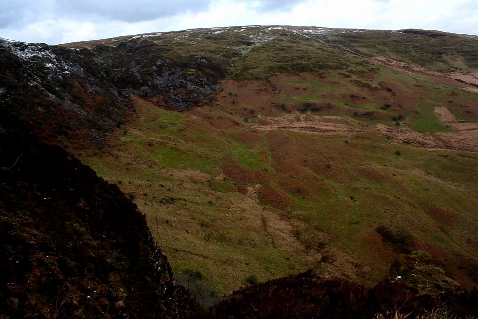
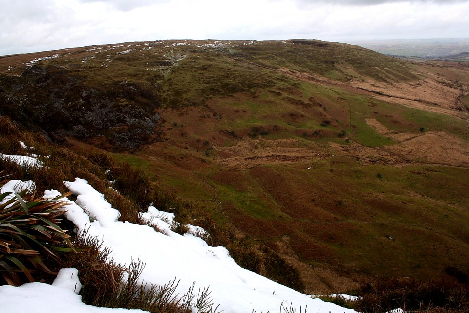
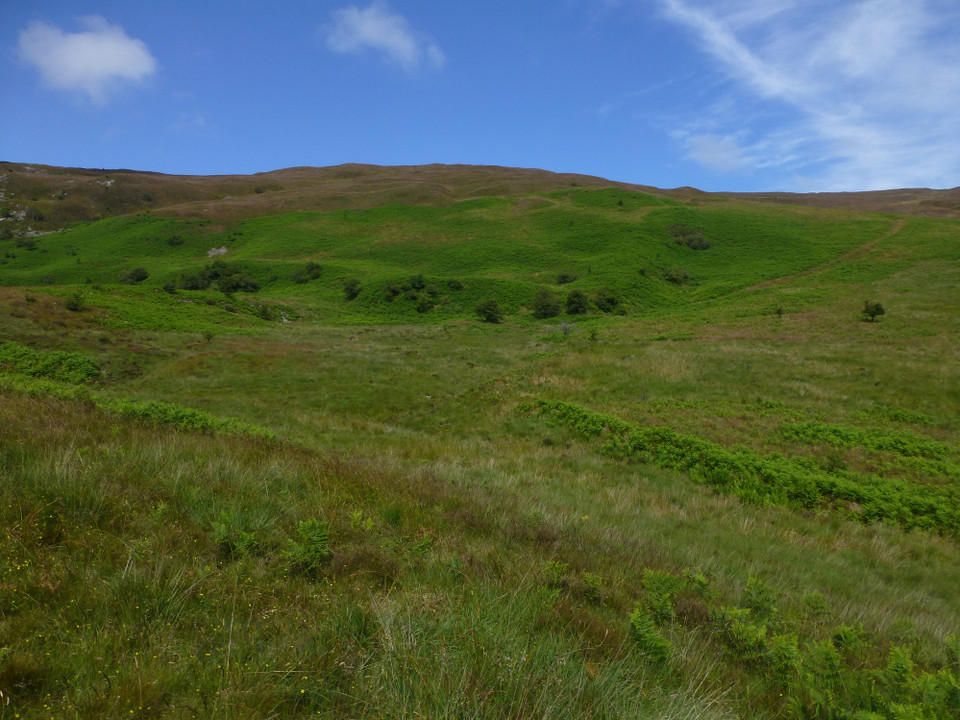
The earlier settlement complex occupies the E.-facing outer slope of the cwm between 402 and 442 m above O.D., and measures 160 m (E.-W.) by 140 m (N.-S.) It comprises a group of hillslope-set scooped enclosures including hut circles and associated embankments.

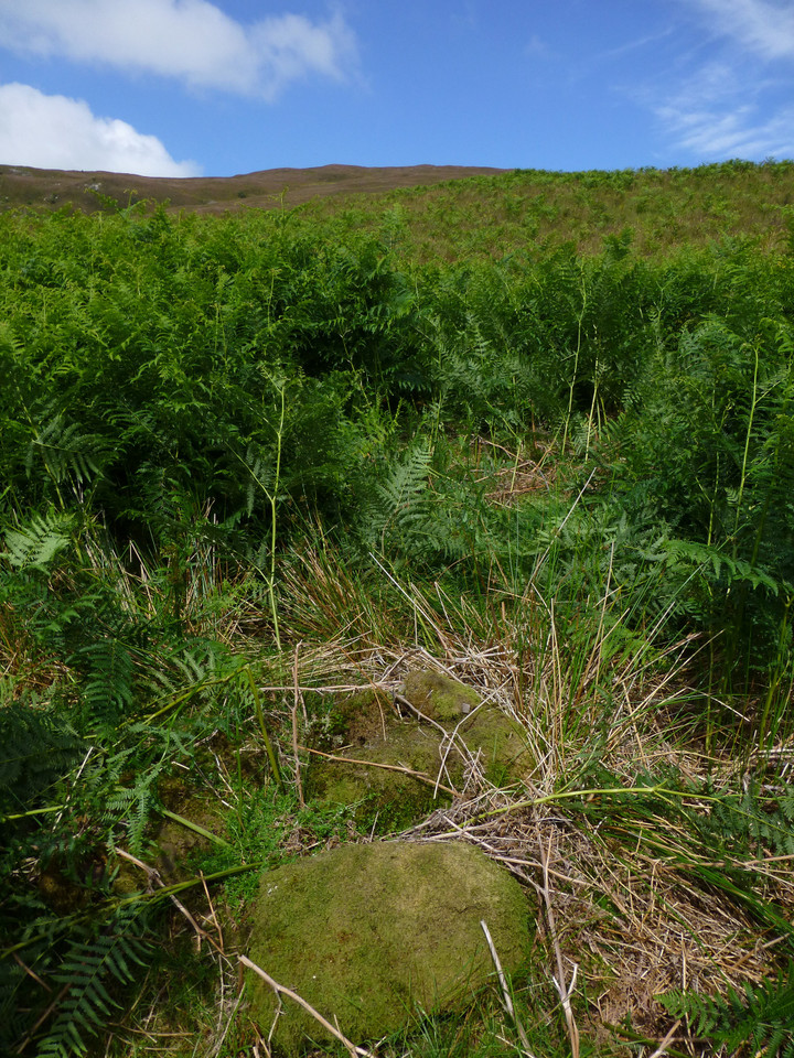
The most norwesterly is a pair of roughly circular hut platforms set upon a natural, boulder-strewn semi-circular rush-grown terrace to the N. of the stream which now drains the cwm. The hut embankments recognised here by the O.S. in 1976 were difficult to distinguish with confidence in 1981 and 1991. This hut group lies immediately outside, which is a subrectangular enclosure embanked by rubble walls up to 3 m wide and 0.4 m high, the longer axis aligned N.N.W.- S.S.E. (of c. 35 m by 23 m). This is bisected unequally by the stream, leaving a smaller, more incomplete enclosed area on the N. bank, whilst an internal E.-W. dividing bank makes a full enclosure of the steeply-sloping southern part, which is entered through a gap about 2 m wide about halfway down the E. side. Protruding from the S. terminal is a linear outwork curving away a few metres to the N.
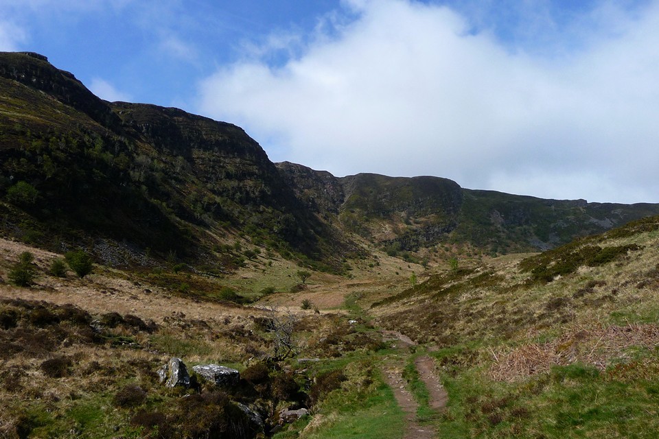
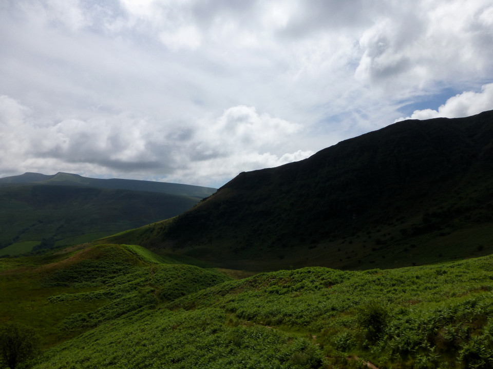
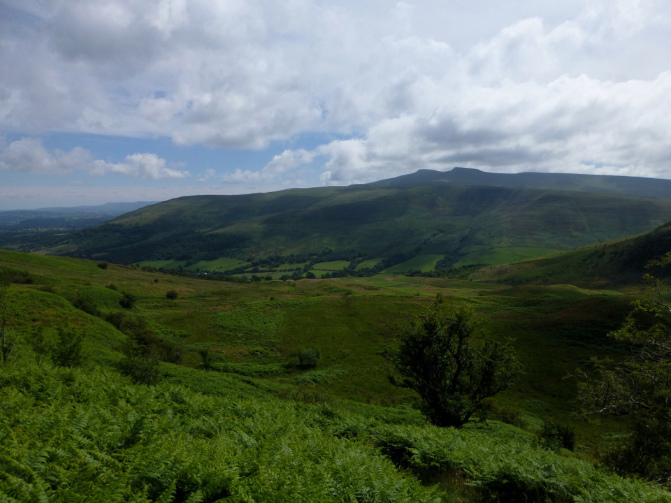
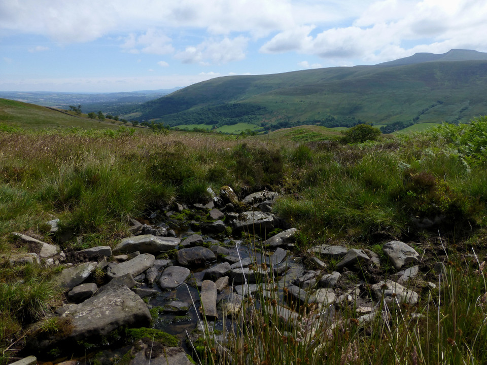
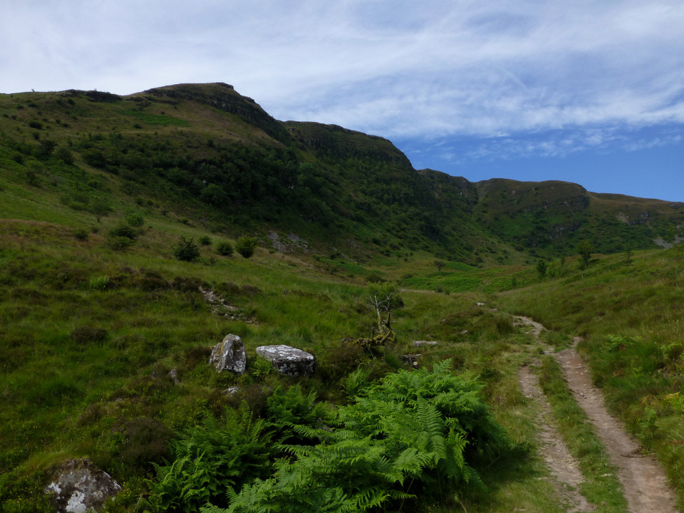
The setting is part of a beautiful nature reserve, below some of the most striking cliffs in the Brecon Beacons.

http://www.ccgc.gov.uk/landscape--wildlife/protecting-our-landscape/special-landscapes--sites/protected-landscapes/national-nature-reserves/craig-cerrig-gleisiad-a-fan-fr.aspx
thesweetcheat Posted by thesweetcheat
12th September 2014ce