Laughanstown is yet another tantalizing Dublin place that doesn't give up its secrets too easily. Only a dedicated stone-head would bother with it really, but a little search on t'interweb produced a couple of articles about the excavations here and the immediate vicinity, prior to the Cherrywood extension being built. There were protests campaigns at Carrickmines Castle around this time and this area was mentioned. All that remains of many multi-period sites including burnt mounds, kilns, raths, enclosures and cairns is this intriguing wedge-tomb and an adjacent, small cairn.
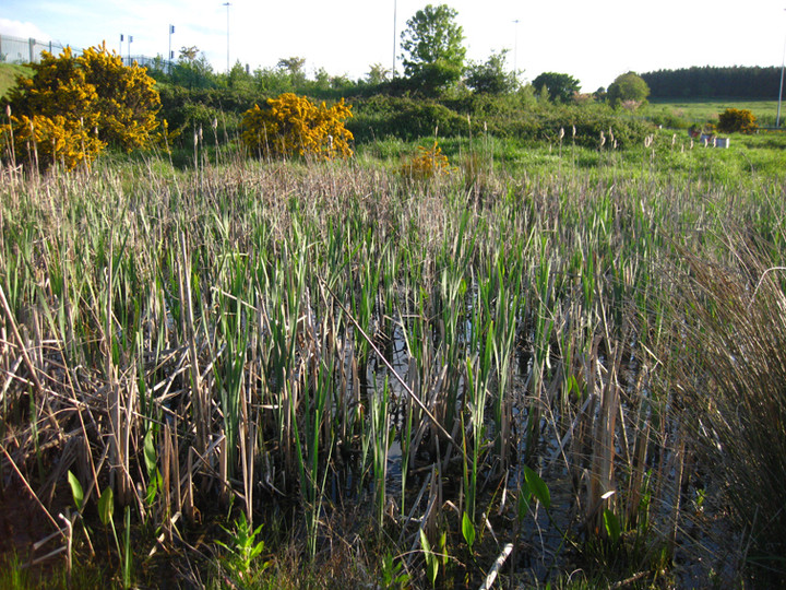
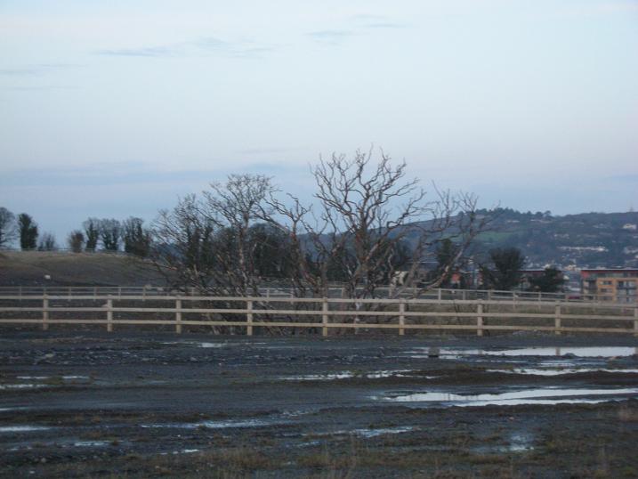
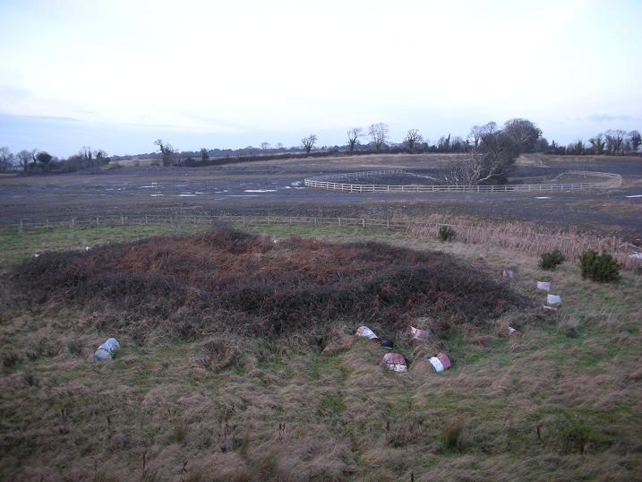
The site is doubly enclosed, first by a semi-permanent wooden fence, and then an inner ring of concrete filled oil drums. Between the outer perimeter fence and the actual wedge tomb there is a pond in the north-east sector and a cairn in the south-west directly opposite it. The whole of the site is very drastically overgrown with brambles and is extremely difficult to peruse. The inner core of the tomb has a depression where it looks robbed-out and there is a new ash tree growing on the northwest side, directly on the cairn of the tomb. Some cairn material is visible and there is one granite orthostat still exposed on the mound.
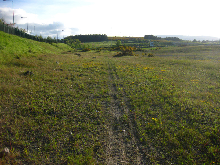
This would be a phenomenal place were it looked after, if you could ignore the embankment that holds the motorway slip-road, with views east to the Irish sea at Killiney Bay and west onto pastoral Ticknick Hill. It epitomises the frustration that many of us feel – modernity and economic concerns butted right up against our ignored prehistoric past and much of the area "preserved by record" only.
This tomb is completely overgrown almost exclusively by thick dirty brambles, i could only locate 4 stones through the thicket.
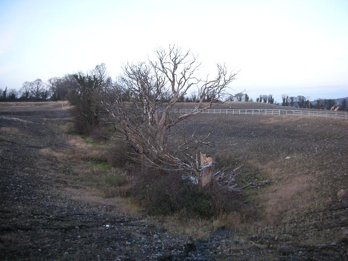
Can anyone shed some light on the date/purpose of the large oval pit in the background, its as if the pit was dug and trees planted at the bottom giving the observer an unusual eye-line with the tree tops, from the tomb ground level. Also the trees form a straight line pointing directly at the center of the tomb. Coincidence maybe?? This effect is best seen on MSN Maps "Birds Eye View". A second line, this time an embankment recently had a circular ditch and a fenced off tree (NOW DESTROYED!!!) in the south-west of the building site, which now holds 3 large piles of massive stones. I'd appreciate any feedback on these (probably wacky:) theories....


 Posted by ryaner
 Posted by CoBurN