The Modern Antiquarian. Stone Circles, Ancient Sites, Neolithic Monuments, Ancient Monuments, Prehistoric Sites, Megalithic MysteriesThe Modern Antiquarian


Castleruddery Lower

Enclosure

<b>Castleruddery Lower</b>Posted by ryanerImage © ryaner
Nearest Town:Baltinglass (7km SSW)
OS Ref (IE):   S912944 / Sheet: 55
Latitude:52° 59' 33.41" N
Longitude:   6° 38' 29.95" W

Added by ryaner


Discussion Topics0 discussions
Start a topic


Show  |  Hide
Web searches for Castleruddery Lower
Show map   (inline Google Map)

Images (click to view fullsize)

Add an image Add an image
<b>Castleruddery Lower</b>Posted by ryaner <b>Castleruddery Lower</b>Posted by ryaner <b>Castleruddery Lower</b>Posted by ryaner

Miscellaneous

Add miscellaneous Add miscellaneous
From archaeology.ie:

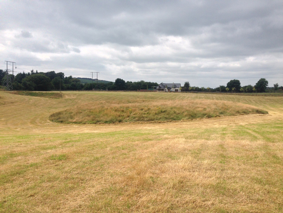
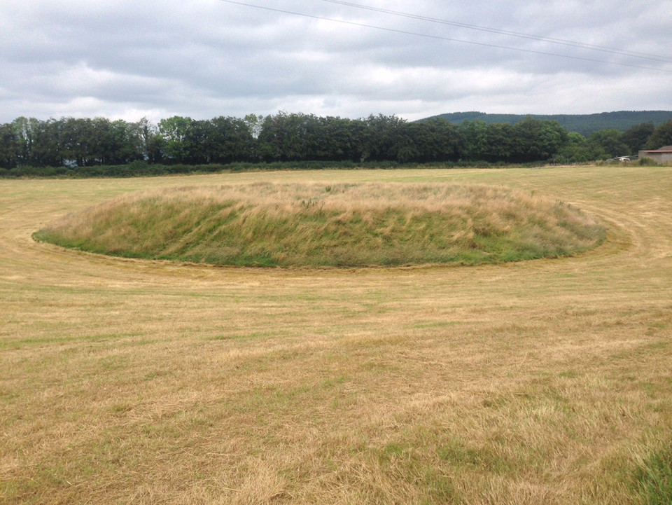
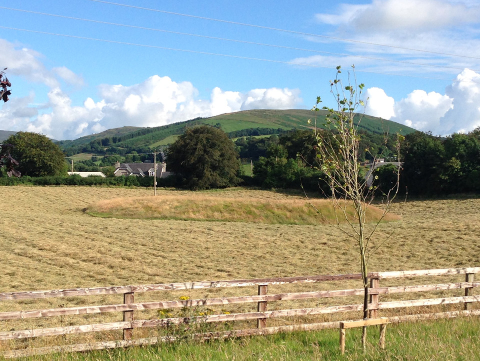
Description: Situated at the base of an elongated natural hollow. Circular platform (diam. 44m; H 2-2.5m) with a slightly dished summit (diam. 36m) defined by a partly natural, wide flat-bottomed 'fosse'. No indication of a bank, entrance or internal features.

The above description is derived from the published 'Archaeological Inventory of County Wicklow' (Dublin: Stationery Office, 1997). In certain instances the entries have been revised and updated in the light of recent research.

Date of upload/revision: 17 December 2008

Date of last visit: 25 May 1989
ryaner Posted by ryaner
23rd July 2014ce