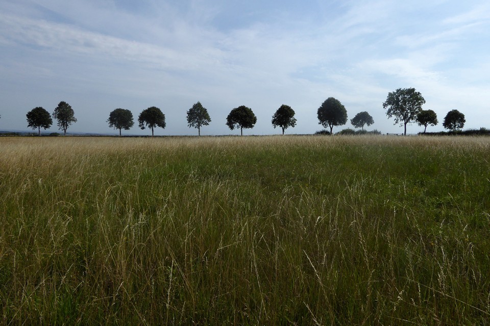
As well as the long barrow, there is a round barrow across the road in the field to the north, apparently known as Royal Oak Field.
Summary of Pastscape details:
A round barrow situated at SP 06701239 upon the gentle north-facing slope of a ridge. The barrow measures in diameter 29.0m north-south by 26.0m transversely, with a maximum height of 1.0m. There are no visible remains of a ditch; under plough.
Two upright slabs seen in 1936 after ploughing are no longer visible.
The Bronze Age barrow is not clearly visible on the available aerial photographs, although a lighter coloured area, which is probably caused by a spread of the stone material that formed the mound, is visible in 1946.
SP 06711227 Wood Barrow (NAT) Long Barrow (NR) Long barrow known as "Wood Barrow", 210ft long by 2 1/2ft high, aligned N/S. A large standing stone on it was moved before 1779 to expose many human bones lying near the top of the barrow. (2-4)
"The almost completely destroyed Wood Barrow has an oval mound at its northern extremity, still of sufficient size to repay investigation". (5)
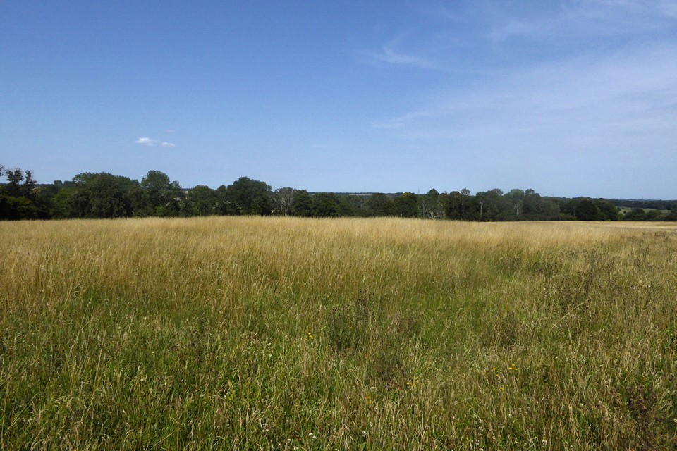
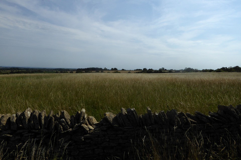
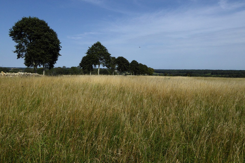
'Wood Barrow' (name unconfirmed) has been almost completely ploughed out. It is situated upon the top of a ridge with a gentle slope to the east and is orientated NNE-SSW. It measures 65.0m in length and in width from 20.0m at the southern end to 30.0m at the northern end. Its height does not exceed 0.7m. There are no visible remains of side ditches and the mound is littered with pieces of broken limestone.Resurveyed at 1:2500 on AM. The Neolithic long barrow referred to by sources 1-6 is not clearly visible on the available aerial photographs, although a very faint lighter coloured area, which is probably caused by the plough spreading the stone mound material, is visible in 1946.


 Posted by thesweetcheat
 Posted by Chance