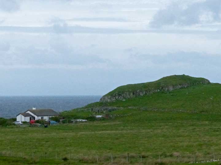
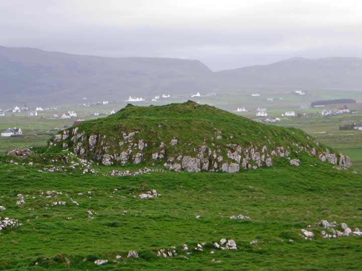
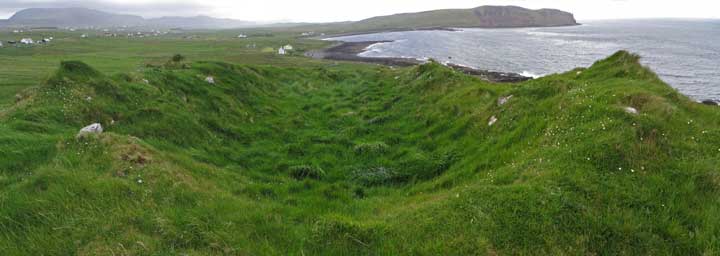
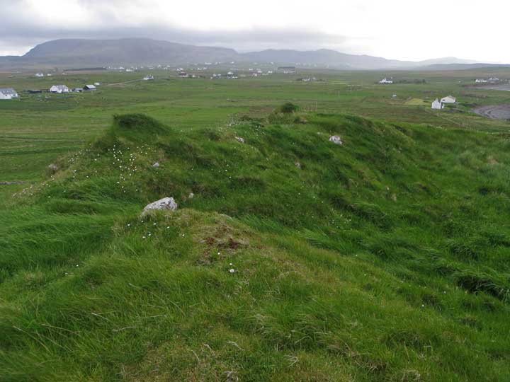
Dun Bornasketaig stands on a 30 metre high flat-topped rocky knoll set back about 100 metres from the pebbly shoreline to the northwest of Kilmuir. Much robbed of stones to build nearby settlements, the remains of the broch now consist mainly of a grass-covered saucer on the summit of the crag. Judging by the depth of the central hollow, it seems likely that several courses of walling still lie hidden beneath the turf, although just the odd stone protrudes to the surface.
There is a space for cars at the end of the easternmost of the two roads that head north through Kilmuir towards the community of Bornesketaig (sic). Head westwards along the coast till you encounter a stout fence with a gate in it. After passing through the gate, the top of the broch is just visible on the horizon between the rising terrain to left and right.
Note: The road farther west does not provide access to the coast and broch. Progress is blocked by fences, and a polite 'No walkers please' notice.

 Posted by LesHamilton