The Modern Antiquarian
Log in
|
Register
Home
Latest Posts
Forums
Maps
Help
Browse Sites
News
Blog
Contributors
The Books
Select
-
Belgium
Denmark
Eire
France
Germany
Greece
Italy
The Netherlands
Norway
Portugal
Republic of Malta
Spain
Sweden
Switzerland
United Kingdom
Wales
Pembrokeshire
Castles Bay
Cliff Fort
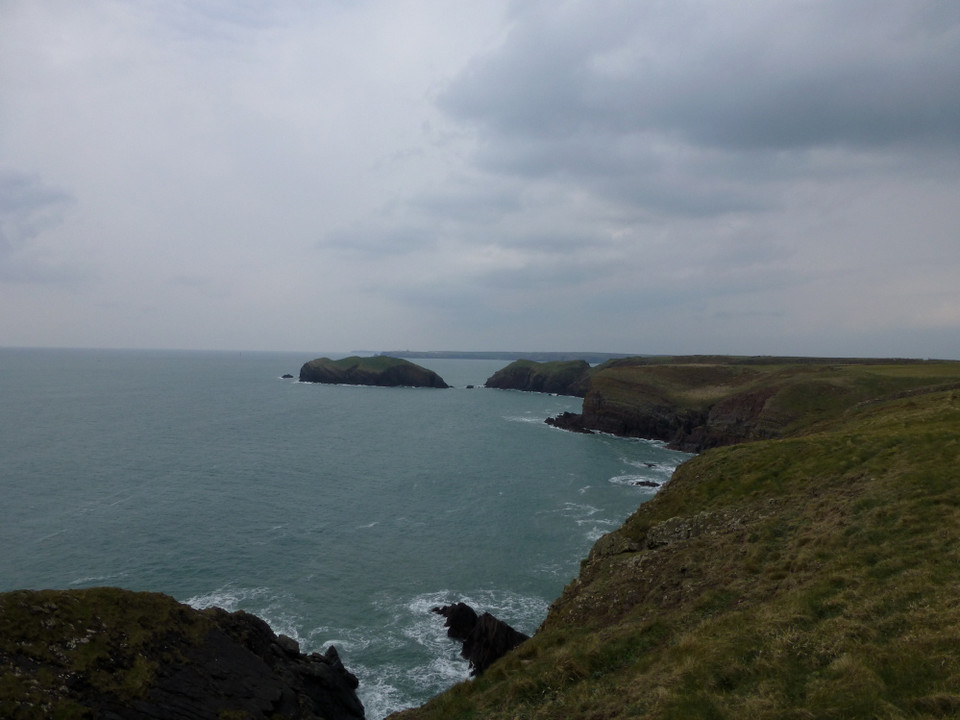
Castles Bay (Sheep Island) (Cliff Fort) on The Modern Antiquarian, the UK & Ireland's most popular megalithic community website. 10 images, plus information on many more ancient sites nearby and across the UK & Ireland.
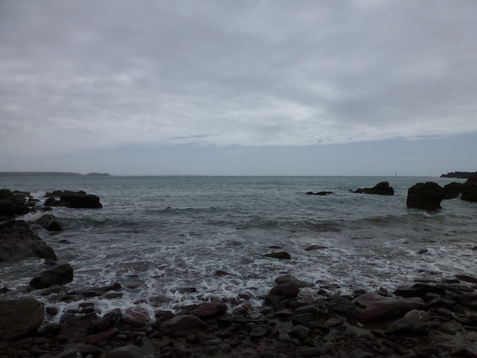
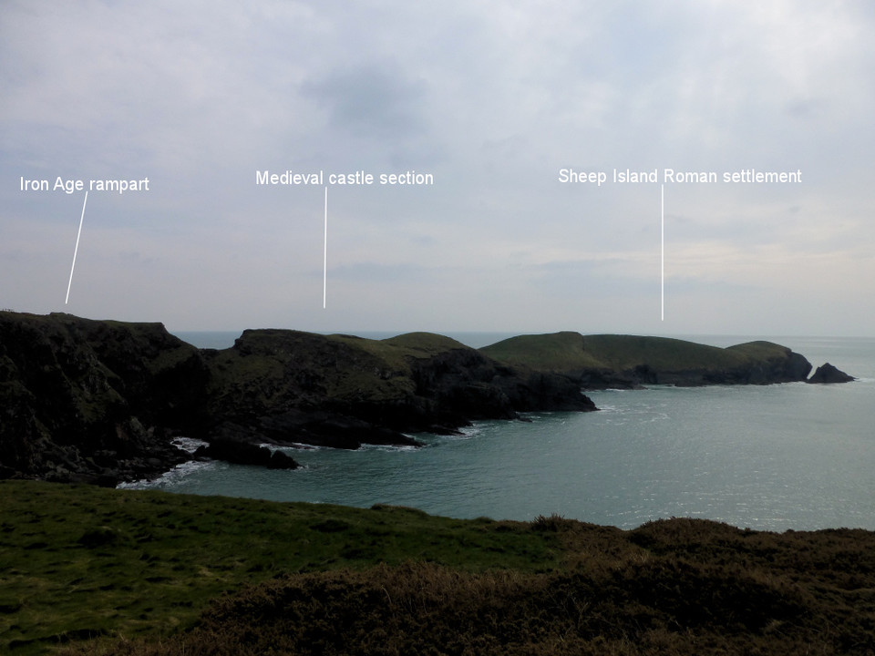
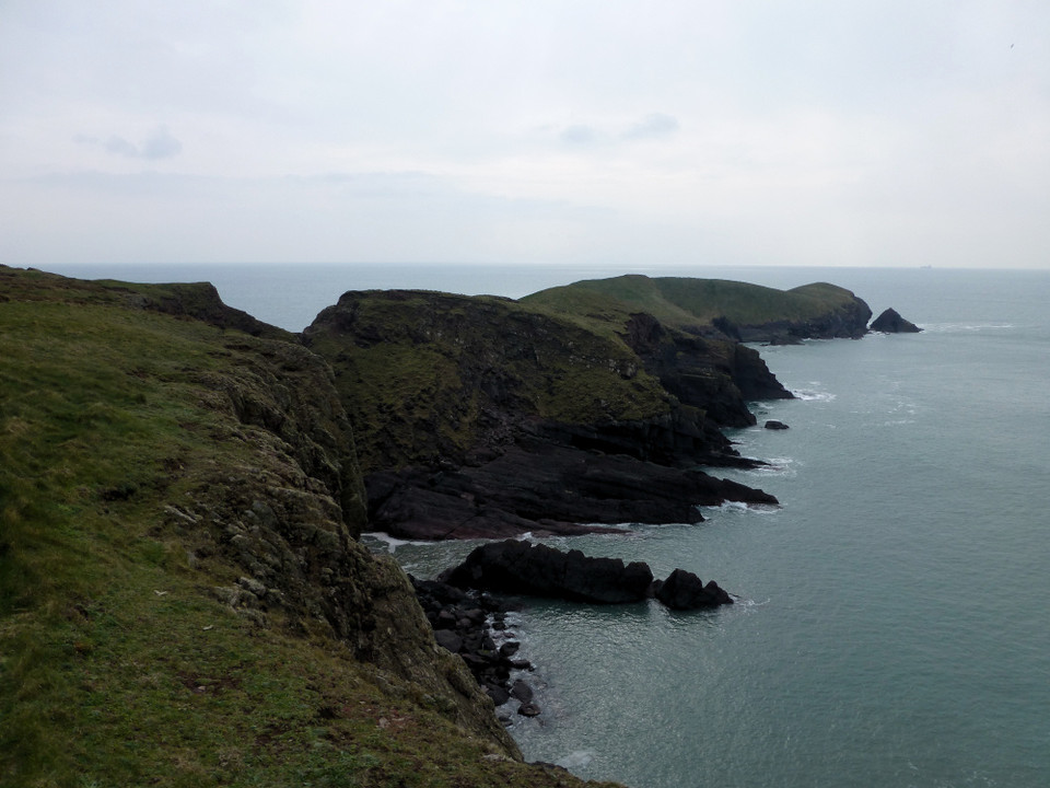
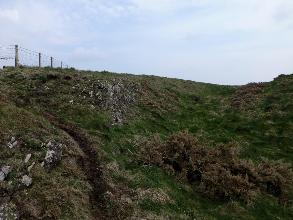
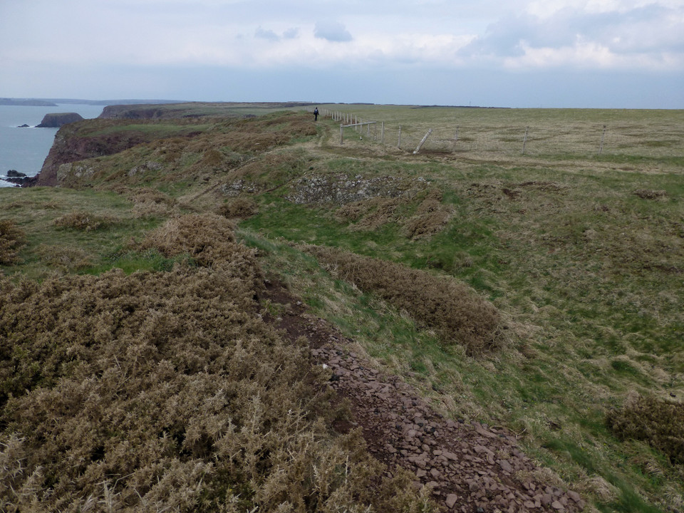
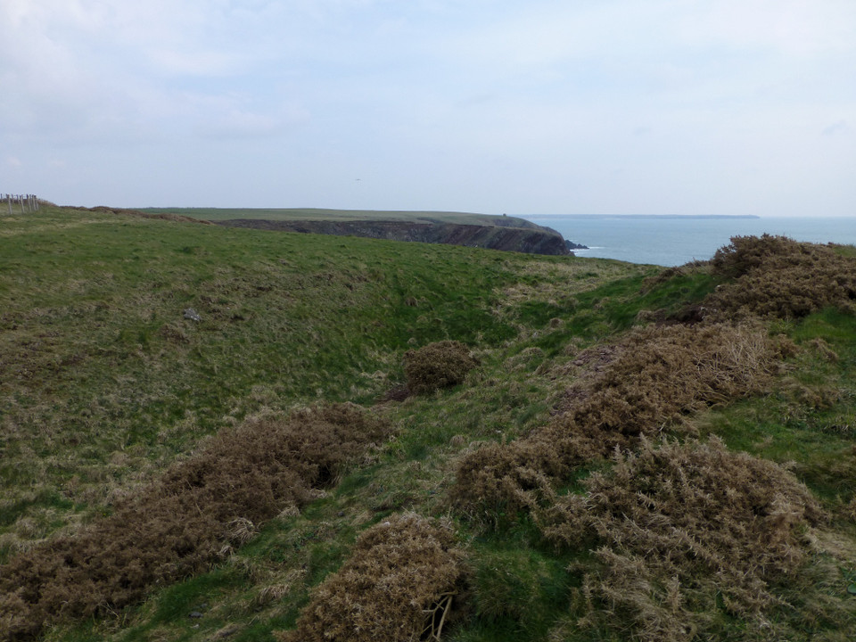
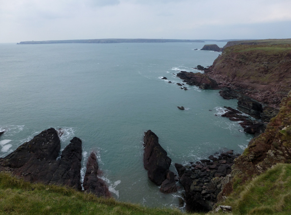
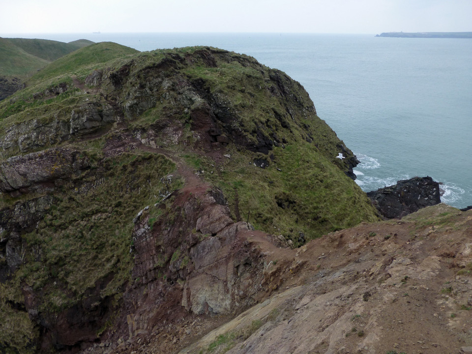
Image © A. Brookes (27.3.2014)
Also known as:
Sheep Island
Nearest Town:
Milford Haven (8km NE)
OS Ref (GB):
SM84580181 /
Sheets: 157, 158
Latitude:
51° 40' 23.4" N
Longitude:
5° 6' 57.39" W
Added by
thesweetcheat
Images (10)
0 discussions
Start a topic
Show |
Hide
Web searches for Castles Bay
Flickr
Google
Google Images
The Megalithic Portal
Bing
Stone Pages
Streetmap.co.uk
Wikipedia
Show map
(inline Google Map)
- Sites within 20 km -
-
West Pickard Camp (1.83km E) (8 posts)
Dale Point (4.11km WNW) (8 posts)
Devil's Quoit (4.13km E) (17 posts)
Great Castle Head (St Ishmaels) (4.21km N) (10 posts)
Little Castle Head (St Ishmaels) (4.77km N) (10 posts)
South Hook Rath (4.9km NNE) (7 posts)
Little Castle Point (5.19km W) (7 posts)
Great Castle Head (Dale) (6.03km WNW) (11 posts)
The Long Stone (6.05km NW) (5 posts)
West Popton Camp (6.45km ENE) (5 posts)
Longstone Field (6.61km N) (3 posts)
The Long Stone (7.01km NE) (6 posts)
Lewiston Hill (7.62km ENE) (2 posts)
Wallaston (8.14km E) (1 post)
Corston Beacon (8.9km E) (1 post)
Gateholm (9.26km W) (5 posts)
Marloes Sound Rath (9.81km WNW) (10 posts)
Merrion Camp (10.37km E) (10 posts)
Dry Burrows (10.4km E) (12 posts)
Castle Head (10.47km NW) (7 posts)
Tower Point (10.61km WNW) (15 posts)
The Nab Head (10.8km WNW) (2 posts)
Mill Haven Rath (11.01km NW) (6 posts)
Flimston Bay Camp (11.02km ESE) (10 posts)
Howney Stone Rath (11.24km NW) (7 posts)
Deer Park (11.39km WNW) (12 posts)
Crocksydam Camp (11.66km ESE) (6 posts)
Bowett Wood Camp (12.56km E) (1 post)
Upper Lodge Stones (12.56km N) (10 posts)
Devil's Quoit (Sampson) (12.77km E) (11 posts)
Harold Stone (The Havens) (12.96km N) (12 posts)
The Wogan (13.47km ENE) (10 posts)
Harold Stone (13.48km E) (10 posts)
Black Point Rath (13.51km N) (5 posts)
Harold Stone (Skomer) (13.64km W) (5 posts)
Skomer (13.64km W) (9 posts)
Buckspool Camp (13.69km ESE) (8 posts)
Hangstone Davey (13.76km NNE) (2 posts)
The Hanging Stone (14.1km ENE) (32 posts)
Bosherston (14.3km E) (21 posts)
Freyneslake (14.68km E) (2 posts)
St Govan's Well and Chapel (15km ESE) (24 posts)
Stackpole Warren (15.02km E) (5 posts)
Devil's Quoit (Stackpole) (15.09km E) (23 posts)
Greenala Point (16.86km E) (11 posts)
- Facilities within 20 km -
-
Haverfordwest Tourist ... (Tourist Information: 17.8 km NNE)
Rhosson Field Camping (Camping Site: 17.8 km NW)
- Add -
-
Add news
Add an image
Add fieldnotes
Add folklore
Add miscellaneous
Add a link
Add a nearby facility
Add an alternative name/spelling
Images
(click to view fullsize)
Add an image
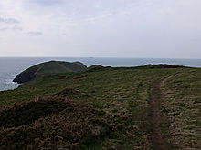 Image © A. Brookes (27.3.2014)