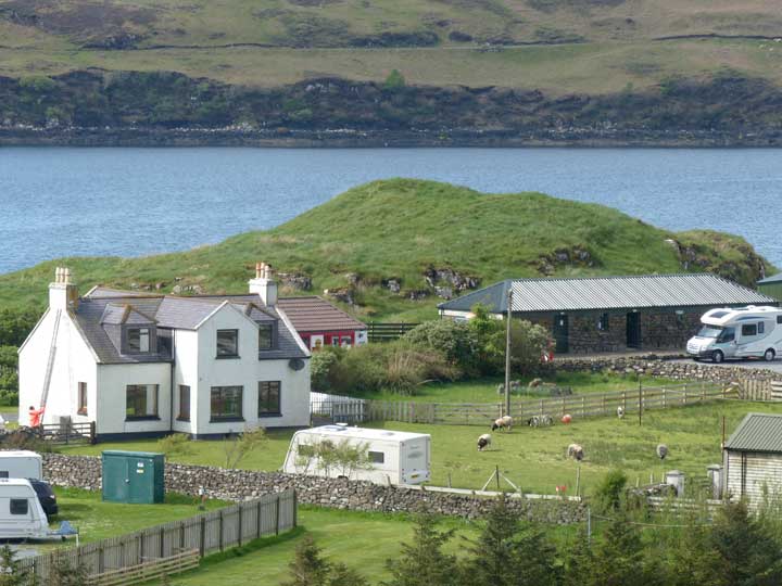
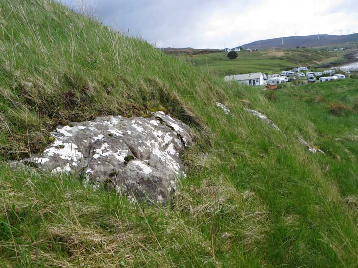
Dun Borve, Greshornish, the remains of a broch, stands prominently behind the buildings of the Skye Camping and Caravanning Club site at Borve on Loch Greshornish, as a grassy mound visible from the main road.
I was standing within 50 metres of this site, on the access road to the campsite, when an employee informed me that this was 'private property'. I informed same that there was no question of the road being private property and that I was perfectly entitled to use it under 'Freedom to Roam Legislation'. She didn't seem impressed and I retreated to the main road and circumnavigated their property southwards to gain the coastline.
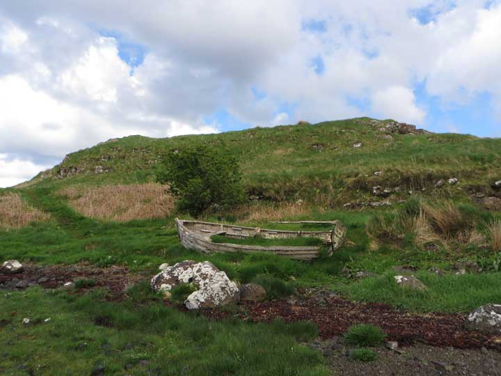
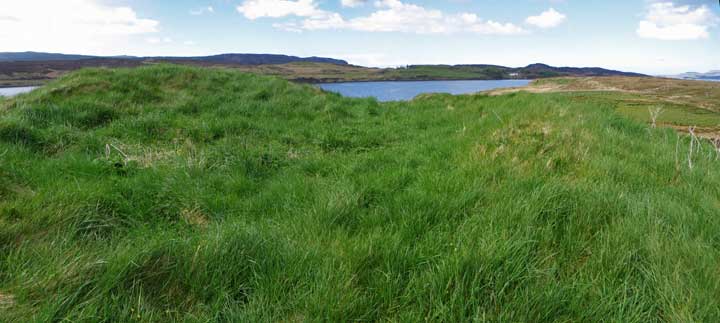
The broch is defended by rocky slopes through which it is easy to weave a way to the grassy summit. All that remains to be seen is a fairly small but well-defined grass-covered saucer on the summit, outlined by the completely grass-overgrown stumps of the broch's walling courses.

 Posted by LesHamilton