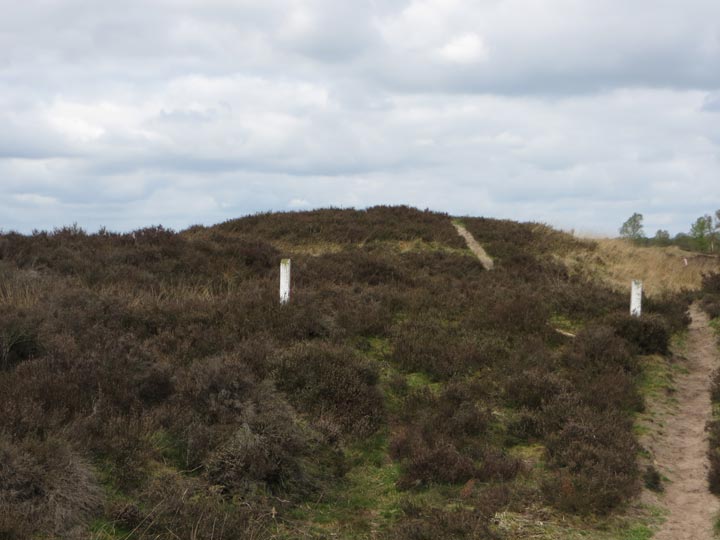
The Balloërveld, an extensive area of protected natural heathland, lies just a couple of kilometres northeast of the Drenthe village of Balloo and is especially noted for its huge number of Bronze Age burial mounds. There are hundreds of them, almost all unnamed, and most less than a metre high. But there are a few exceptions: the Galgenberg (Gallows Hill) is the northernmost mound in the region, a large burial chamber dating from the Early Bronze Age. Because of its elevation above the flat heathland of the day, Galgenberg became the site of a gallows beside one of the mediaeval roads running through what is now the Dutch province of Drenthe.
A partial excavation of the Galgenberg by Professor Van Giffen in 1933 revealed, within the mound, human remains dating both from the Bronze-Age and mediaeval times.
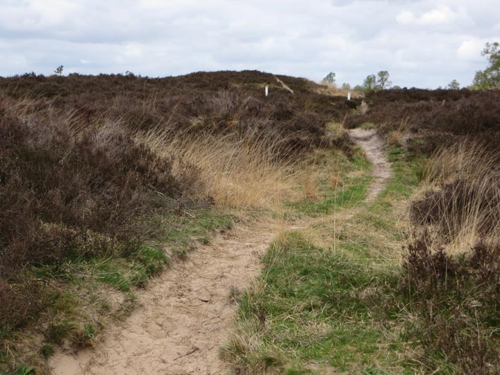
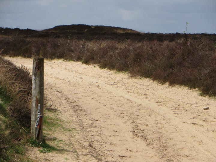
To visit Galgenberg, start in the centre of the village (Balloo) and follow Henweg in a northerly direction for about 350 metres. Next take the first road to the right (Crabbeweg) for another 500 metres or so till the cultivated fields give way to the sandy roads and heathland of Balloërveld. Galgenburg is just over a kilometre on, in a generally northward direction.

 Posted by LesHamilton