This site is of disputed antiquity. If you have any information that could help clarify this site's authenticity, please post below or leave a post in the forum.
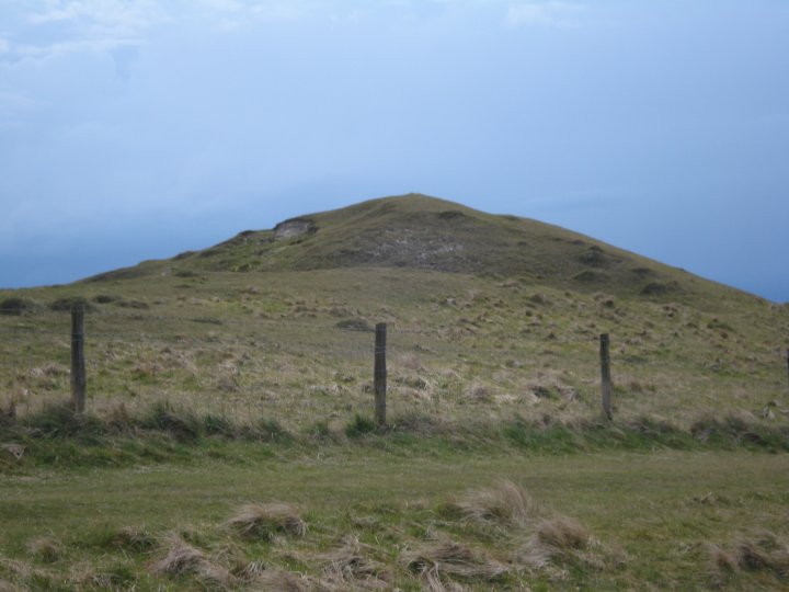
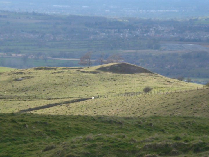
Possibly a long barrow, possibly nothing more than a natural mound disturbed by chalk digging. Pastscape has the following:
The remains of an elongated E-W mound, much cut about at both ends by stone-diggers, situated about 1/4 mile west of the monument. Perhaps the remnant of a long barrow. Calne Without 1 - a doubtful long barrow almost destroyed by flint diggers. Orientation E-W?.
Old diggings have resulted in large pits surrounding and encroaching upon what appears to be an E-W mound 0.6m. high. This assumes that the slight ledge or berm between the mound and the quarry faces represents the original land surface. If it is a long barrow both ends have been destroyed. The original authority for identification is obscure, but Grinsell may be incorrect in virtually dismissing it. 1:2500 survey revised.

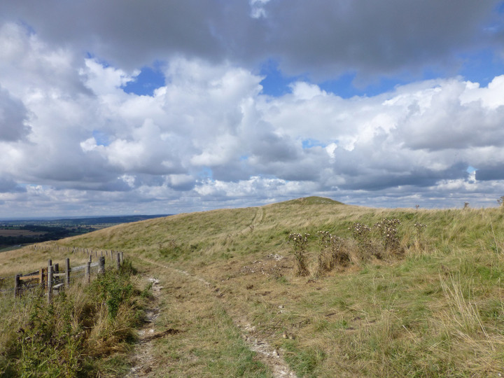
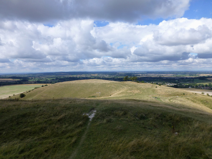

 Posted by thesweetcheat
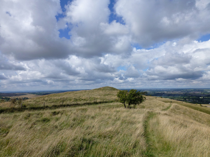
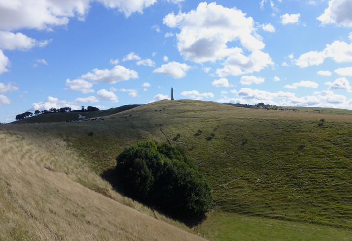