The Modern Antiquarian. Stone Circles, Ancient Sites, Neolithic Monuments, Ancient Monuments, Prehistoric Sites, Megalithic MysteriesThe Modern Antiquarian


Carns

Artificial Mound

<b>Carns</b>Posted by bawn79Image © Bawn79 © 2013
Also known as:
  • Carn Lamha

Nearest Town:Strokestown (11km ENE)
OS Ref (IE):   M8266578290 / Sheet: 40
Latitude:53° 45' 14.08" N
Longitude:   8° 15' 46.18" W

Added by bawn79


Discussion Topics0 discussions
Start a topic


Show map   (inline Google Map)

Images (click to view fullsize)

Add an image Add an image
<b>Carns</b>Posted by ryaner <b>Carns</b>Posted by ryaner <b>Carns</b>Posted by ryaner <b>Carns</b>Posted by bawn79 <b>Carns</b>Posted by bawn79 <b>Carns</b>Posted by bawn79

Fieldnotes

Add fieldnotes Add fieldnotes
Here is an aerial view of the bowl barrow and the unusual water feature to the west of it.

http://binged.it/12Efrjy

Taken from archaeology.ie

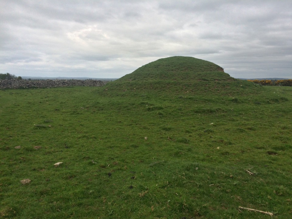
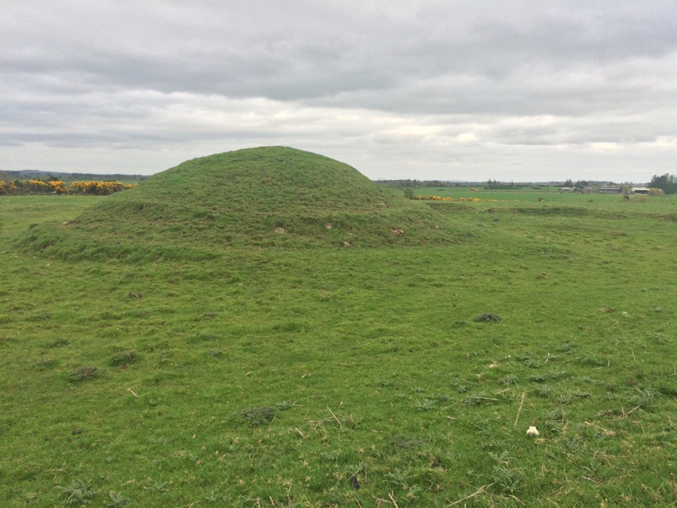
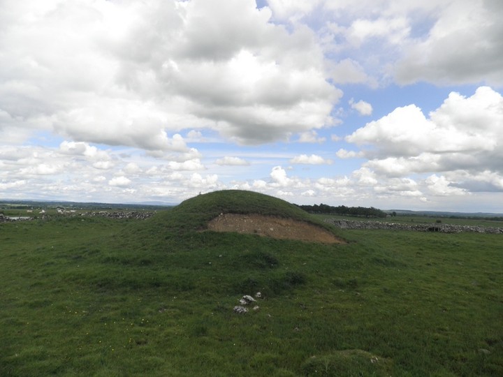
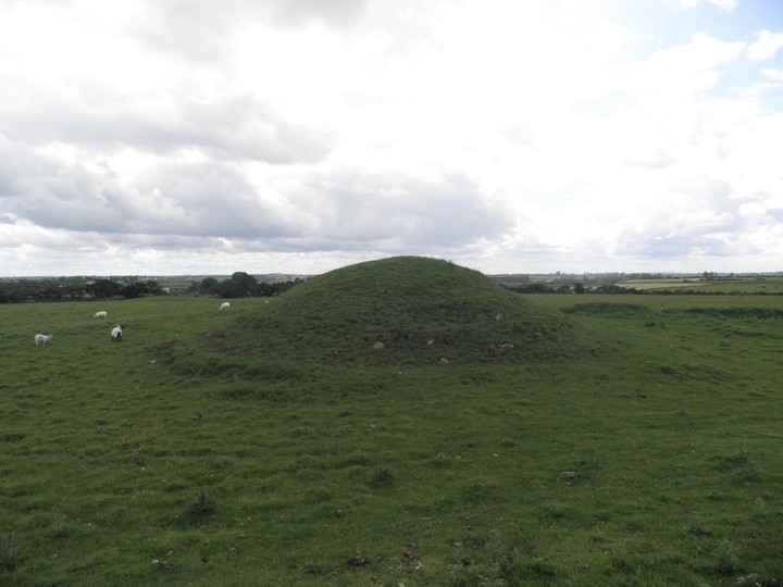
On a slight rise of the broad WNW-ESE ridge of Carnfree. It has been re-identified as Carn Lamha (FitzPatrick 2004, 65). Circular, conical and grass-covered mound (diam. of base 16m.3m N-S; H 3.5m) surrounded by a slight berm (Wth 1-1.2m) and fosse (Wth of top 5.5-9m; D 0.3m) (max. ext. diam. 35m N-S). There are also slight traces of an outer bank S-W, but this may be a field bank. The barrow is contained within a triangular area defined by field banks of the field system (RO028-056----). Ditch-barrows (RO028-071----; RO028-072001-; RO028-073----) are c. 60m to the W, c. 60m th the SSW and c. 90m SE respectively. (Herity 1983, 126-7; Waddell 1988, 15-6)
bawn79 Posted by bawn79
26th August 2013ce