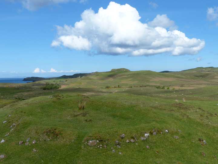
Dùn Kingsburgh (north) stands a kilometre west of the A87 Portree to Uig road, just south of Hinnisdal Bridge and two kilometres north of the community of Kingsburgh.
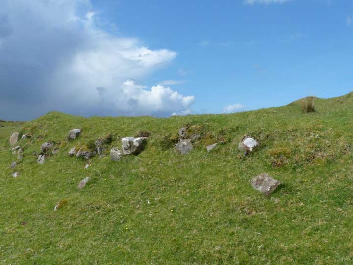
This broch has been reduced to a grassy saucer surrounded by a vegetated bank of varying height. A small section of outer walling is visible through the undergrowth to the east.
There is ample parkng at the entrance to Hinnisdal Community Woodland, and the route to the broch starts from the farm track just before the first cottage to the south on the opposite side of the road. After just a few metres, a footpath slants off to the right, soon connecting with a wide farm road which curves towards the River Hinnisdal, then back again to cross a tributary stream. Pass through the gate ahead and follow the path until it curves left in a broad arc. As soon as the path starts to straighten, ascend the low rise to the left: the broch stands on its summit.
Although this is in theory just a gentle stroll, the farm track was extremely muddy at the time of my visit: stout footwear, preferably boots, is recommended.

 Posted by LesHamilton