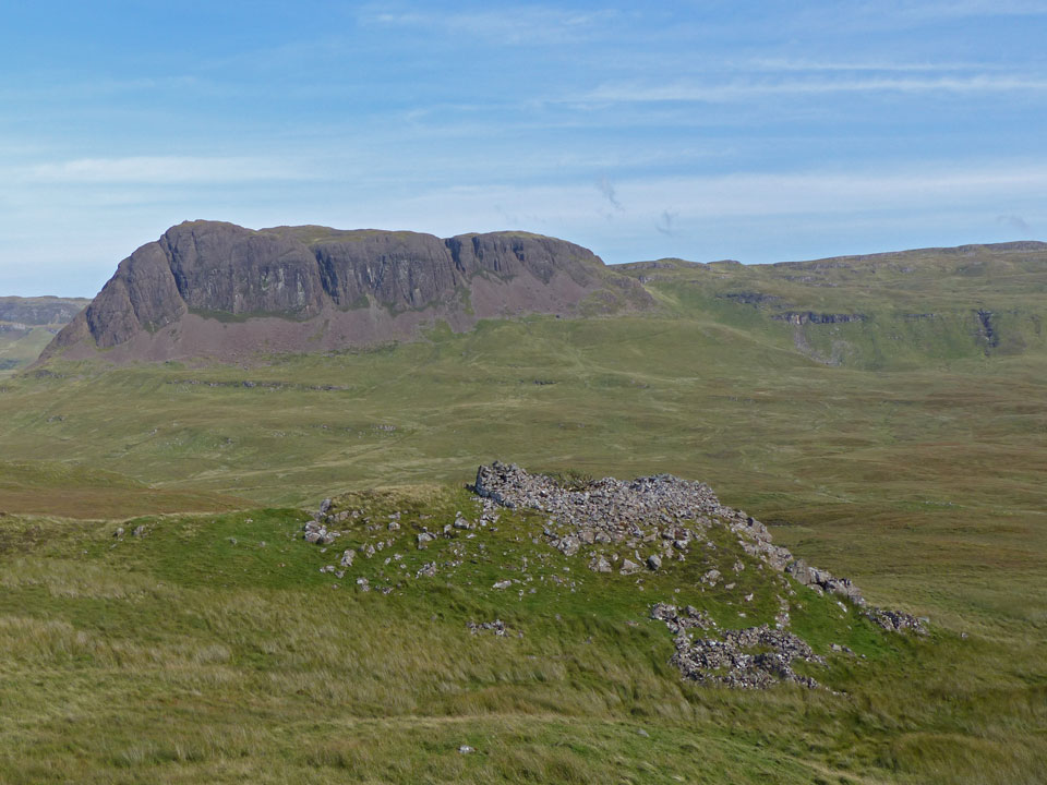
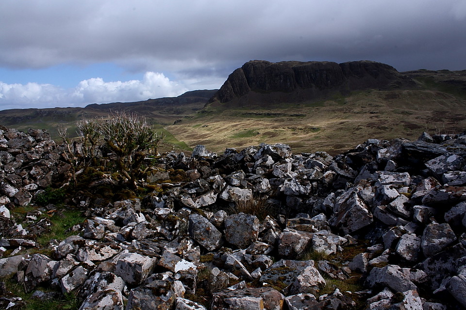
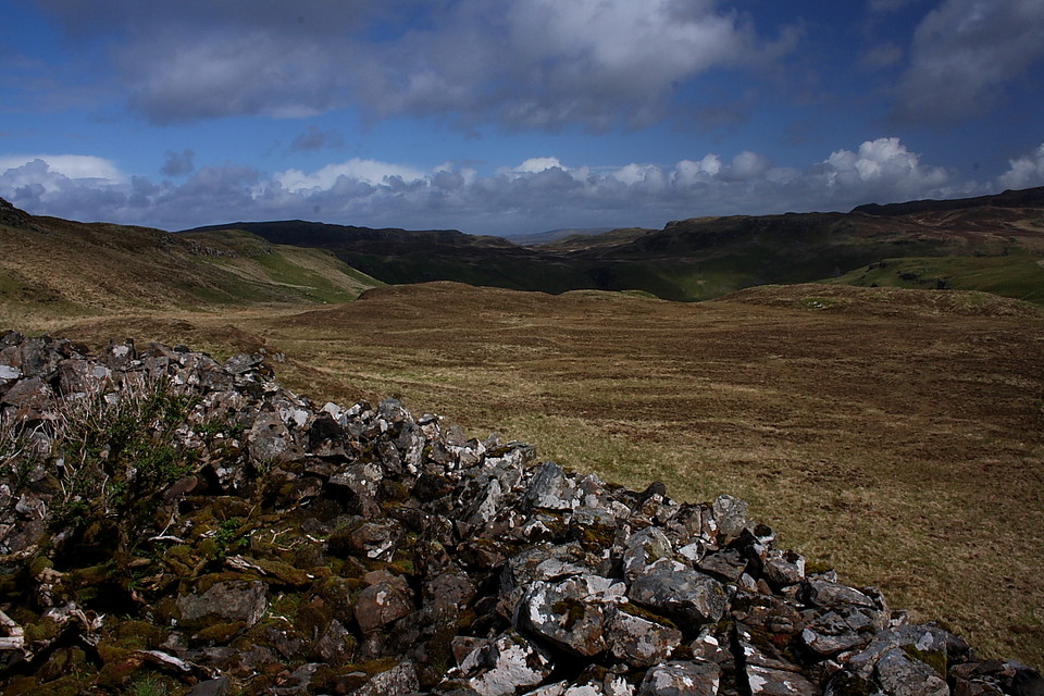
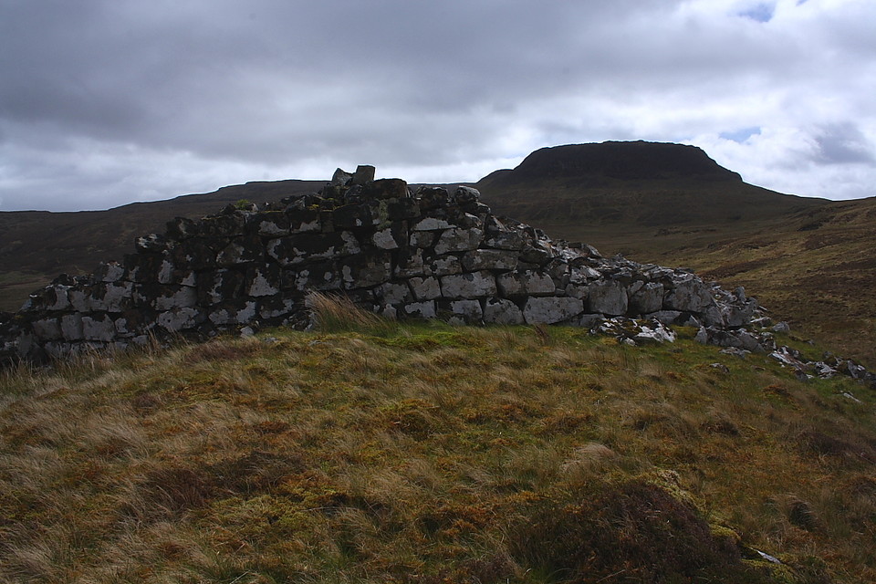
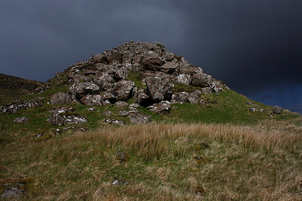
It's perhaps not surprising that this is the first fieldnote concerning Dùn Sleadale to appear on TMA. You cannot see this broch from any road. It cannot be accessed by a gentle walk. It is located on a plateau flanked by steep hillsides at an elevation of 136 metres, and the ascent starts from sea-level.
Moreover, there is no clear path to the broch. The starting point for a visit to Dùn Sleadale is the small car park used by walkers heading for Talisker Bay. But about 200 metres into this walk, immediately after the path crosses the Sleadale Burn, a rusted gate provides access to the field on the left.
From here the route is an ascending traverse, firstly through grass tussocks and bracken, then on shorter sheep-grazed grass on the higher slopes. Continue for about half a kilometre until you encounter a stream flowing downhill to join the the Sleadale Burn, and follow this to the plateau.
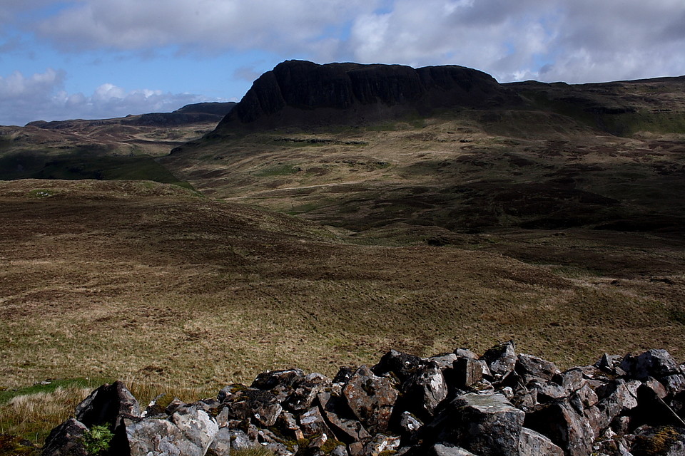
Still, Dùn Sleadale is hidden from view but, carrying on in the same direction for another 200 or so metres, to the right of a prominent outcrop that rises ahead, the broch suddenly springs into view.
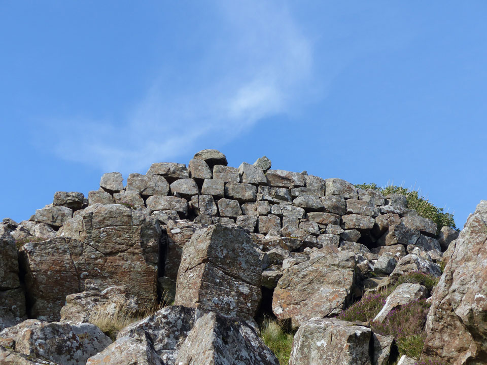
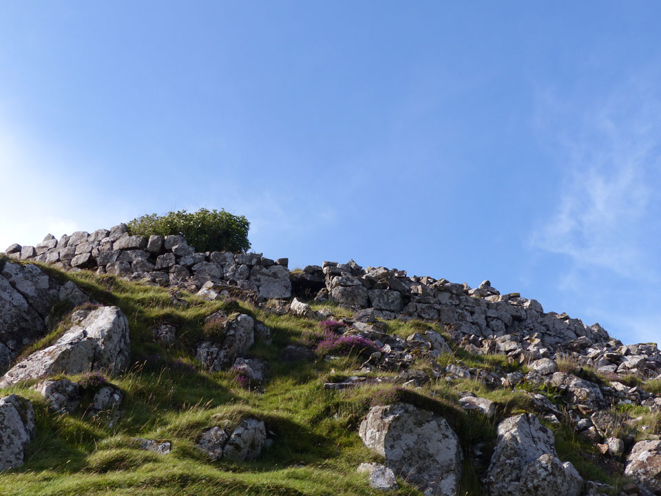
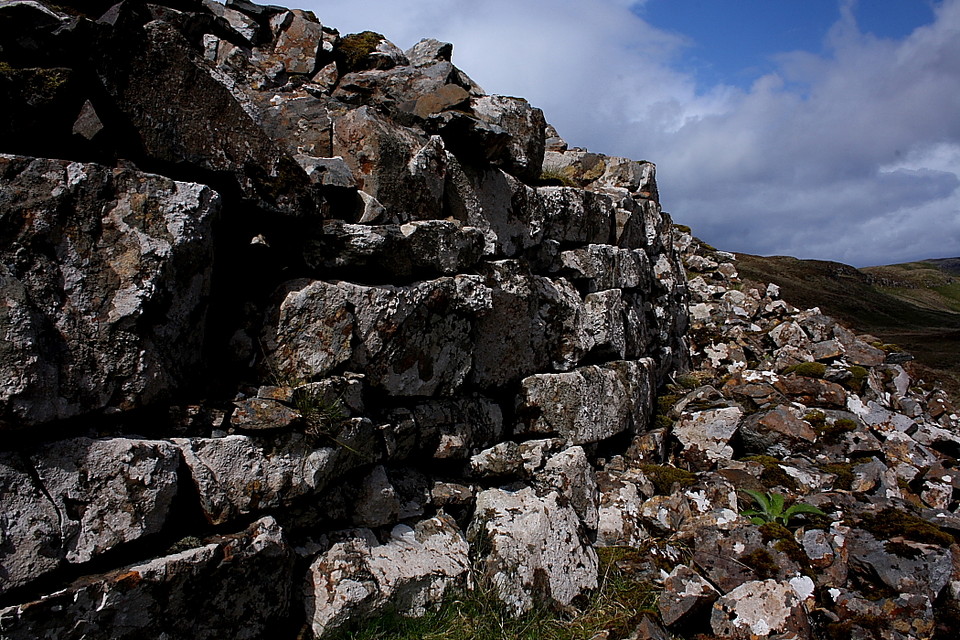
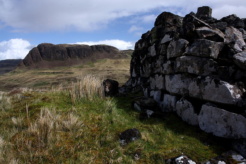
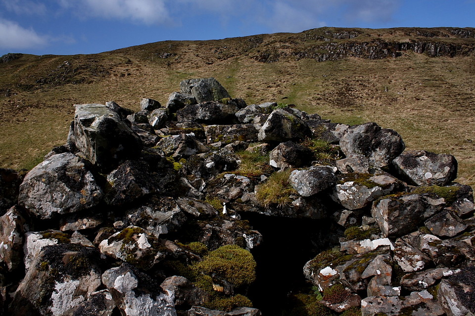
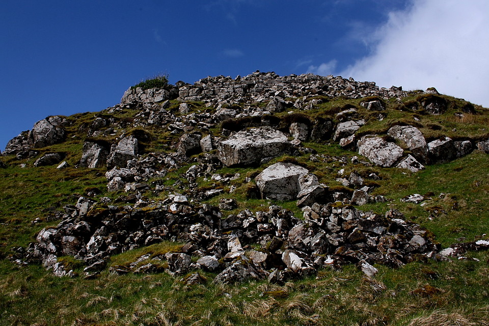
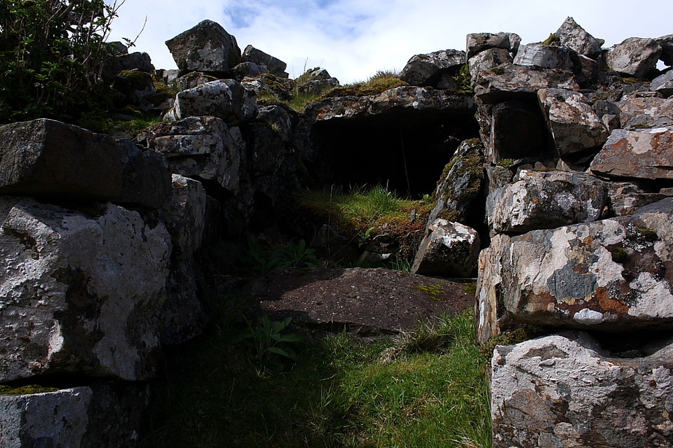
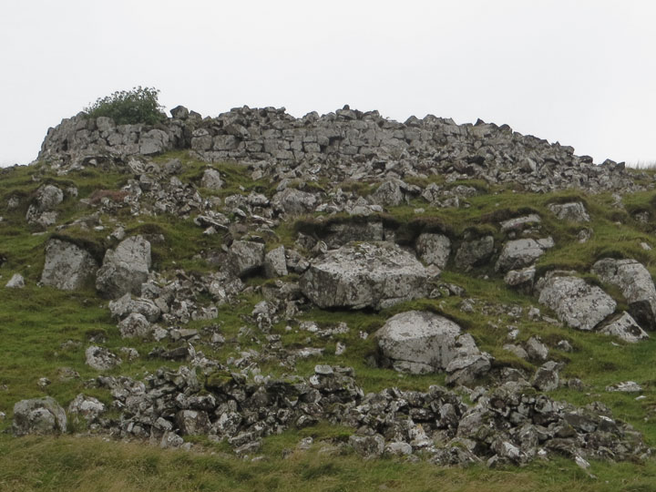
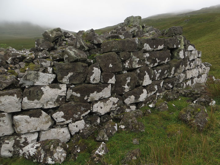
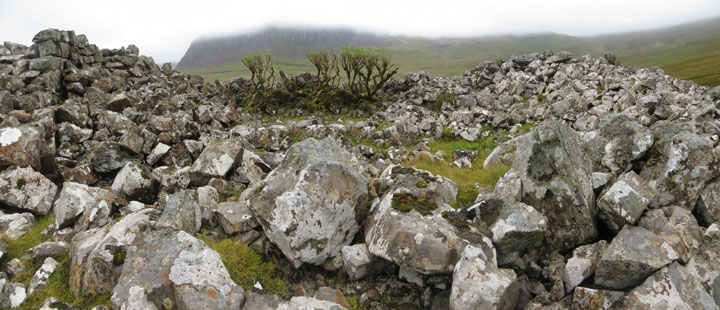
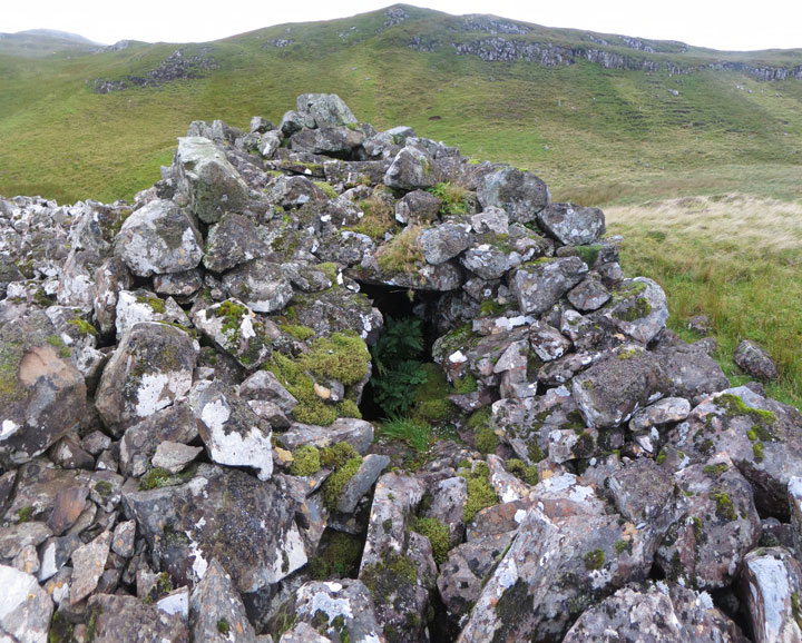
This broch is well worth the effort of visiting, as it retains several courses of walling round almost its entire external circumference, with an entranceway on the east. Almost no internal structure remains alas, as the interior—including the entrance—is buried beneath a wasteland of collapsed masonry. A lichen-encrusted ash tree struggles to survive within its shelter. Only on the southern face of the broch is there slight evidence of a gallery, which is for most of its length buried under tonnes of rubble.


 Posted by LesHamilton