|
|

|
|
Creag Nam MeannStone Fort / Dun
|
||||||||||||||||||||||||
|
|
|
Images (click to view fullsize) |
|
|
Fieldnotes |
|
|
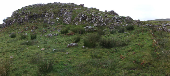
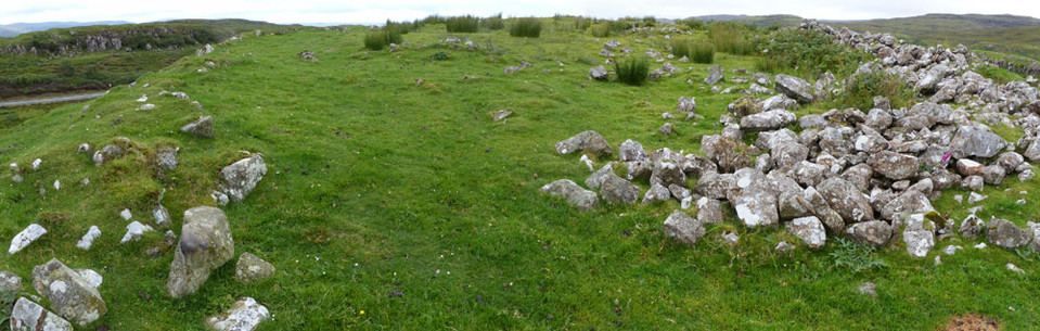
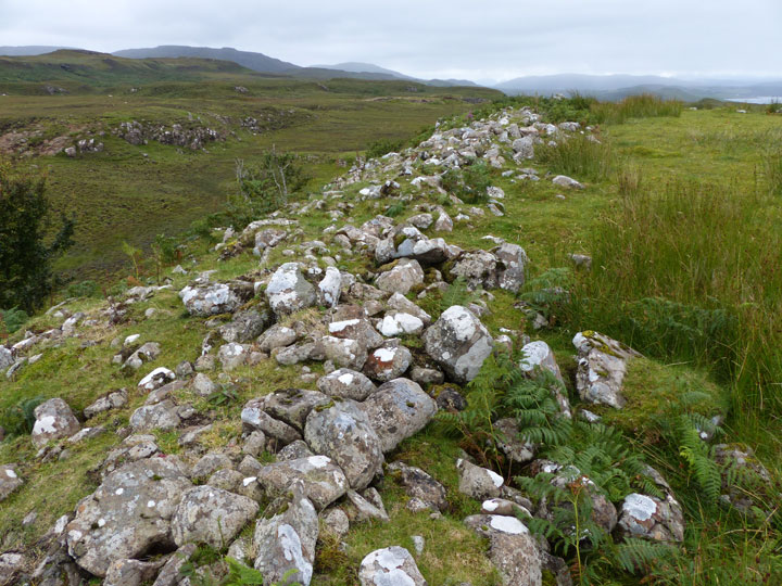
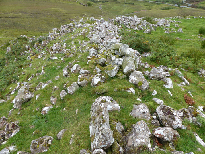
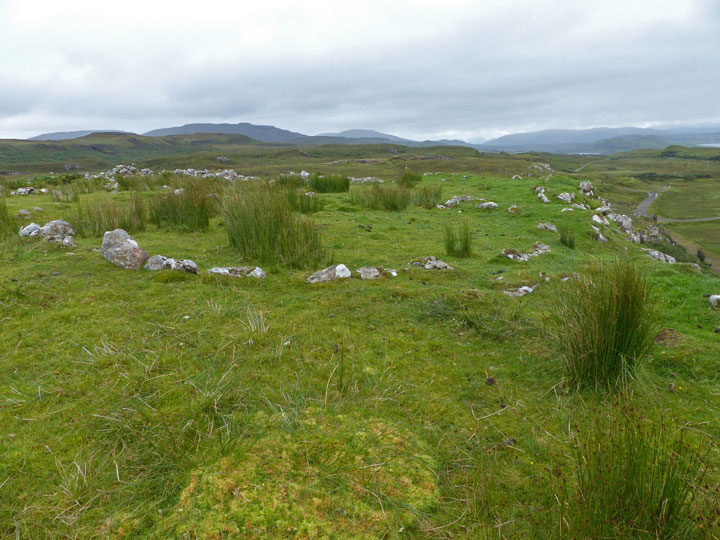
Visited: September 6, 2015 There's a much easier approach to Dun Creag nam Meann. About 50 metres north of the turn-off to the village of Kingsburgh is a metalled farm track that connects with a section of old road, 100 metres roughly east, at a hairpin bend. There is ample space to park a car without blocking this exit. I was prompted to seek this alternative route because the sheep mentioned by Carl had been replaced by a bull and a number of cows. No point tempting fate! Walk up to the sharp bend, then head to your left (north) along a rough path for 130 metres before ascending easy grassy slopes to a col. Turn left here and continue on to the fort. The ascent in no way prepares you for the size of the fortification beyond: Canmore states it to be 91 metres long, with a width of about half that figure. The most notable features are a massive but completely tumbled wall along almost the entire eastern boundary, and a well proportioned hut circle. Two more hut circles will be encountered as you explore farther into the fort. |
 Posted by LesHamilton
20th September 2015ce Edited 11th March 2023ce |
|
Visited 29.7.13 Directions: To the east of the main A87 heading north to Uig – in Kingsburgh. You can park next to the field gate which gives access to the old quarry. I hopped over the gate and squelched my way along the muddy track leading past a few farm sheds and nervous sheep. I then started the steep climb up to the Fort. This also involved getting over a few barbed wire fences. A large section of the rock outcrop had been quarried away and at one point this meant I had to carefully walk across a ridge no more than 1m wide with a vertical 10m drop either side. Thinking back I guess this was a little dodgy! Upon reaching the Fort the remains of a collapsed stone wall could be seen on the eastern side. Also, what appeared to be the remains of 3 hut circles could be made out within the Fort – which was a nice bonus. The Fort is not large but very defensible. There are good views to be had. If you do plan to visit this site please take care as it is quite dangerous. Another fort (Dun Adhamh) is a little further to the south but I didn’t have the opportunity to investigate – there is only so long you can expect people to sit in a car for you! Canmore states: ‘On Creag nam Mean are the remains of a stone-walled fort. An irregular oval plan measuring 170ft in length by 82ft in breadth at its widest part. It has been defended by a stone wall practically obliterated on the W flank and appearing as a tumbled mass of stones 2ft high on the opposite side. Immediately within the outer defence is a hut circle 13ft in diameter abutting on the inside of the wall and there are traces of two impinging hut circles further W. Within the fort are 3 more circular stone huts and in the SW are indications of two large curvilinear enclosures’. |
Posted by CARL 20th August 2013ce |