This site is of disputed antiquity. If you have any information that could help clarify this site's authenticity, please post below or leave a post in the forum.
Spent another hour wandering the area today.
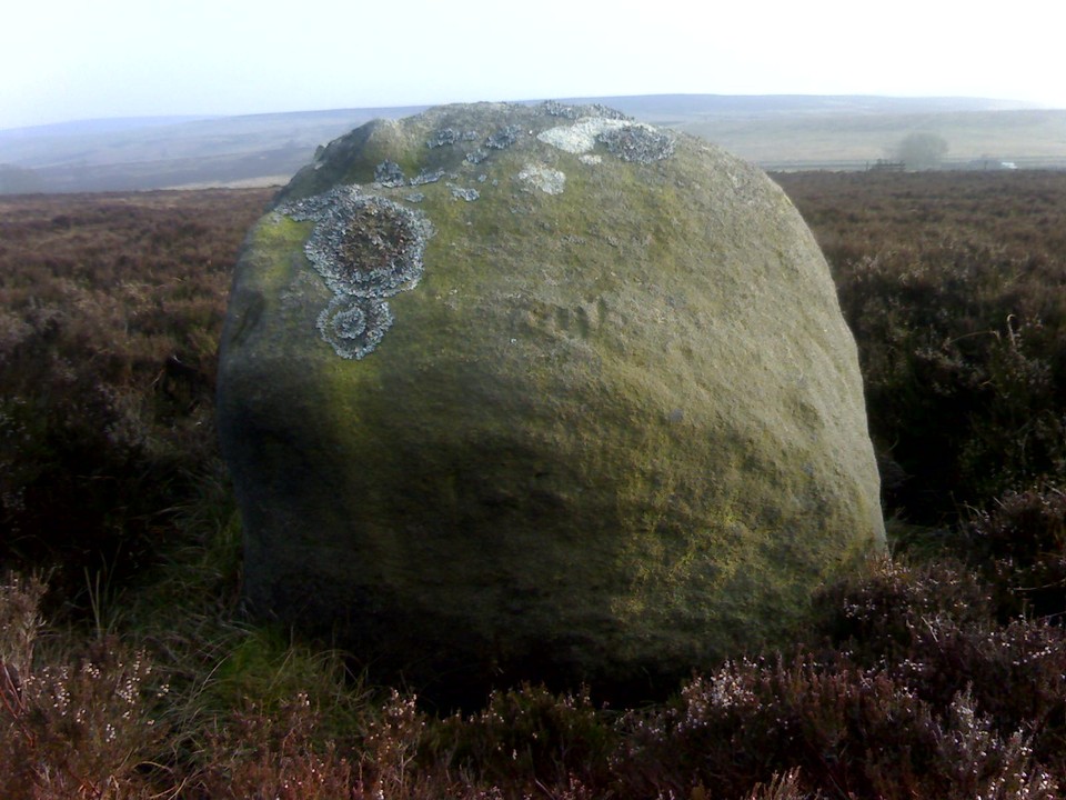
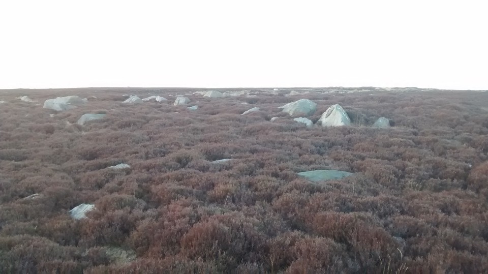
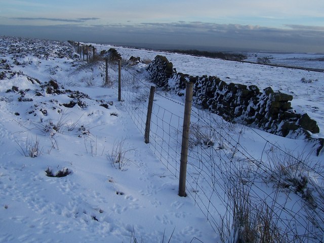
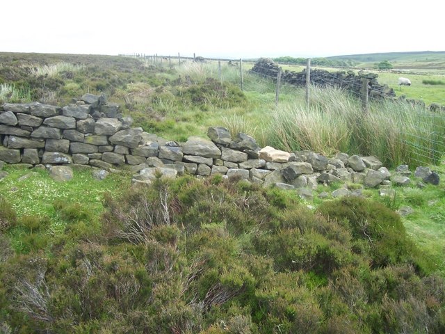
Going on this statement by Sidney Addy (1888) "as one could judge from the road it is a heap of stones scattered here and there. I cannot say more without a nearer examination", any standing stone was either already gone or more likely it was just a pile of stones as described. Today the area is still an isolated sea of huge rocks, only one of which is of any note and that's isolated from the main scatter by 50 metres or so itself, and it's more like 135 metres from the road than the 35 mentioned by the above.
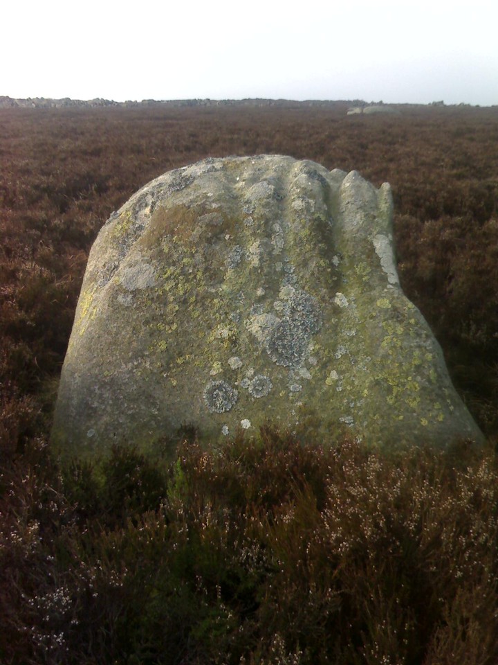
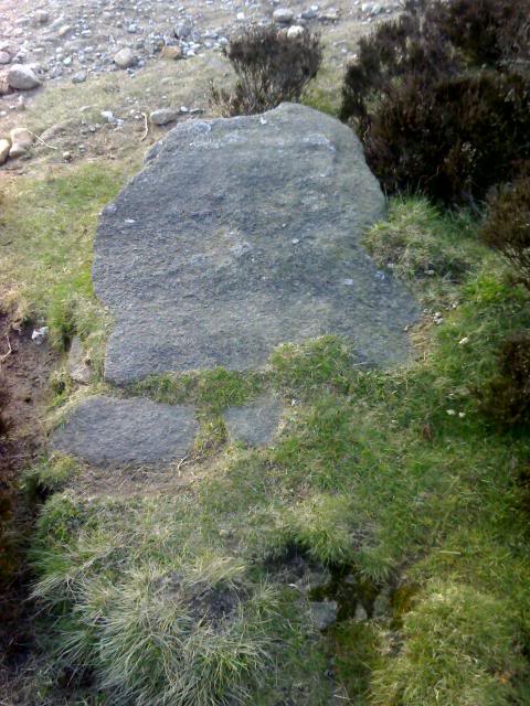
See the uploaded pics.
No real trace of Fingerem Stone can be found today. In 1888 Sidney Addy stated: "As we continue our journey towards Fox House we come to a place which, on Fairbank's map, is called Fingerem Stone. No such word is now known to the people of the district whom I have questioned. The position of Fingerem Stone is nevertheless made clear by the map. It is on the left-hand side of the road as one travels from Ringinglow to Fox House and near to the last-named place. I was not permitted to approach the spot for fear of disturbing the young grouse, but as far as one could judge from the road it is a heap of stones scattered here and there. I cannot say more without a nearer examination. As Fingerem Stone is about three hundred yards from an old earth-circle (Cicely Low) to be presently mentioned, one may be pretty sure that Fingerem stands for Thingeram, the th having been changed to f, just as swarth has become swarf (wheel-swarf). Indeed the change from th to f is common. What, then, is Thingeram? Thingar may possibly be A.S. pingere, an advocate, or priest. The final syllable may be hám, home, house. It will be noticed that a place called Parson's House, on the other side of the road, is adjacent. Parson's House, however, is not connected with Thingeram, for it was built, I am told, or owned by the Rev. Thomas Bingham early in the present century, after the enclosure of the commoms."
Just to add to that. This statement if weird - "It is on the left-hand side of the road as one travels from Ringinglow to Fox House and near to the last-named place. I was not permitted to approach the spot for fear of disturbing the young grouse, but as far as one could judge from the road it is a heap of stones scattered here and there. I cannot say more without a nearer examination."
Whilst the location here is correct, if you were travelling the old road (as he were) the Fingerem stone would be easily visible, almost within touching distance in fact, so the how he could not see it, if it still existed doesn't make sense. Take a look at the placed marked on the old map and how the feature is right by the road. It doesn't make any sense.
I searched extensively for this stone but found nothing bar the one in the pic i just uploaded. Pretty surprised to see this site listed here to be honest, given there's no evidence for it being of any age.
Another strange thing is it being listed as "Cairns/Destroyed", i highly doubt that was the case, seems 2+2 came out as 5 imo.
The area to the (very) immediate N/NW is very boulder strewn and could easily be mistaken for a cairn site from the view given in the old text. I guess some of this is natural added to with clearance. I very much doubt this refers to a cairn/cairns. More likely a way marker of some form that's now long gone.

 Maps / Plans / Diagrams:
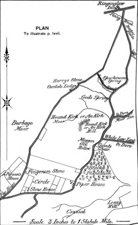
 Posted by harestonesdown